101 Round Top Rd Bernardsville, NJ 07924
Estimated Value: $846,000 - $1,132,000
3
Beds
3
Baths
1,638
Sq Ft
$599/Sq Ft
Est. Value
About This Home
This home is located at 101 Round Top Rd, Bernardsville, NJ 07924 and is currently estimated at $981,494, approximately $599 per square foot. 101 Round Top Rd is a home located in Somerset County with nearby schools including Bernardsville Middle School, Bernards High School, and The School of Saint Elizabeth.
Ownership History
Date
Name
Owned For
Owner Type
Purchase Details
Closed on
Jun 11, 2004
Sold by
The Leona A Rose Trust
Bought by
Levine Hilda S
Current Estimated Value
Home Financials for this Owner
Home Financials are based on the most recent Mortgage that was taken out on this home.
Original Mortgage
$568,000
Outstanding Balance
$282,304
Interest Rate
6.25%
Estimated Equity
$699,190
Purchase Details
Closed on
Aug 23, 1989
Sold by
Rose William F
Bought by
Rose Leona A
Create a Home Valuation Report for This Property
The Home Valuation Report is an in-depth analysis detailing your home's value as well as a comparison with similar homes in the area
Home Values in the Area
Average Home Value in this Area
Purchase History
| Date | Buyer | Sale Price | Title Company |
|---|---|---|---|
| Levine Hilda S | $710,000 | -- | |
| Rose Leona A | -- | -- |
Source: Public Records
Mortgage History
| Date | Status | Borrower | Loan Amount |
|---|---|---|---|
| Open | Levine Hilda S | $568,000 |
Source: Public Records
Tax History Compared to Growth
Tax History
| Year | Tax Paid | Tax Assessment Tax Assessment Total Assessment is a certain percentage of the fair market value that is determined by local assessors to be the total taxable value of land and additions on the property. | Land | Improvement |
|---|---|---|---|---|
| 2025 | $14,076 | $767,200 | $462,700 | $304,500 |
| 2024 | $14,076 | $720,000 | $424,400 | $295,600 |
| 2023 | $13,675 | $680,700 | $400,300 | $280,400 |
| 2022 | $13,500 | $656,600 | $384,900 | $271,700 |
| 2021 | $13,547 | $645,700 | $384,900 | $260,800 |
| 2020 | $13,550 | $644,000 | $404,900 | $239,100 |
| 2019 | $13,439 | $659,400 | $414,900 | $244,500 |
| 2018 | $13,107 | $658,300 | $414,900 | $243,400 |
| 2017 | $12,874 | $668,100 | $414,900 | $253,200 |
| 2016 | $12,513 | $667,000 | $414,900 | $252,100 |
| 2015 | $12,189 | $663,500 | $414,900 | $248,600 |
| 2014 | $11,984 | $655,200 | $414,900 | $240,300 |
Source: Public Records
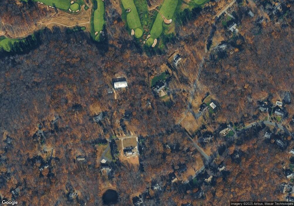
Map
Nearby Homes
- 80 Claremont Rd Unit 802
- 80 Claremont Rd Unit 206
- 22 Orchard Hill Rd
- 101 Rippling Brook Way
- 149 Overleigh Rd
- 20 Anderson Hill Rd
- 26 Anderson Hill Rd
- 41 Anderson Hill Rd
- 71 Mount Harmony Rd
- 15 Highview Ave
- 58 Seney Dr
- 16 Dayton Crescent
- 3 Rose Hill
- 136 2 Mount Harmony Rd
- 51 Boulderwood Dr
- 91 Post Ln
- 453 Mine Brook Rd
- 10 Tysley St
- 496 Mine Brook Rd
- 331-1 Mendham Rd
- 101 Roundtop Rd
- 91 Roundtop Rd
- 121 Roundtop Rd
- 121 Round Top Rd
- 110 Roundtop Rd
- 131 Roundtop Rd
- 120 Roundtop Rd
- 71 Roundtop Rd
- 135 Roundtop Rd
- 6 Laurelwood
- 8 Laurelwood
- 4 Laurelwood
- 130 Roundtop Rd
- 130 Round Top Rd
- 10 Laurelwood
- 2 Laurelwood
- 75 Crestview Dr
- 140 Roundtop Rd
- 70 Roundtop Rd
- 143 Roundtop Rd