101 Rowland St Rutland, IL 61358
Estimated Value: $60,000 - $161,000
--
Bed
--
Bath
1,178
Sq Ft
$77/Sq Ft
Est. Value
About This Home
This home is located at 101 Rowland St, Rutland, IL 61358 and is currently estimated at $91,040, approximately $77 per square foot. 101 Rowland St is a home located in LaSalle County with nearby schools including Fieldcrest Elementary School - South, Fieldcrest Elementary School - West, and Fieldcrest High School.
Ownership History
Date
Name
Owned For
Owner Type
Purchase Details
Closed on
Jun 20, 2022
Sold by
Bradbury Bruce L
Bought by
Morton Jennifer L
Current Estimated Value
Purchase Details
Closed on
Oct 1, 2018
Sold by
Sechrest Bobby E and Senhrest Rebecca S
Bought by
Bradbury Bruce
Purchase Details
Closed on
Jun 9, 2016
Sold by
Barhum Jeffrey
Bought by
Sechrest Bobby E and Sechrest Rebecca S
Home Financials for this Owner
Home Financials are based on the most recent Mortgage that was taken out on this home.
Original Mortgage
$16,000
Interest Rate
3.66%
Mortgage Type
New Conventional
Purchase Details
Closed on
Jul 3, 2007
Sold by
Barhum Deloris
Bought by
Barhum Jeffery
Create a Home Valuation Report for This Property
The Home Valuation Report is an in-depth analysis detailing your home's value as well as a comparison with similar homes in the area
Home Values in the Area
Average Home Value in this Area
Purchase History
| Date | Buyer | Sale Price | Title Company |
|---|---|---|---|
| Morton Jennifer L | -- | None Available | |
| Bradbury Bruce | $18,000 | None Available | |
| Sechrest Bobby E | $17,500 | -- | |
| Barhum Jeffery | -- | None Available |
Source: Public Records
Mortgage History
| Date | Status | Borrower | Loan Amount |
|---|---|---|---|
| Previous Owner | Sechrest Bobby E | $16,000 |
Source: Public Records
Tax History Compared to Growth
Tax History
| Year | Tax Paid | Tax Assessment Tax Assessment Total Assessment is a certain percentage of the fair market value that is determined by local assessors to be the total taxable value of land and additions on the property. | Land | Improvement |
|---|---|---|---|---|
| 2024 | $1,541 | $18,196 | $2,502 | $15,694 |
| 2023 | $1,466 | $16,073 | $2,210 | $13,863 |
| 2022 | $1,381 | $14,844 | $2,041 | $12,803 |
| 2021 | $1,357 | $14,661 | $2,016 | $12,645 |
| 2020 | $1,344 | $14,442 | $1,986 | $12,456 |
| 2019 | $1,322 | $14,442 | $1,986 | $12,456 |
| 2018 | $1,248 | $13,908 | $1,913 | $11,995 |
| 2017 | $1,199 | $13,353 | $1,837 | $11,516 |
| 2016 | $649 | $13,056 | $1,796 | $11,260 |
| 2015 | $298 | $12,418 | $1,708 | $10,710 |
| 2012 | -- | $12,148 | $1,671 | $10,477 |
Source: Public Records
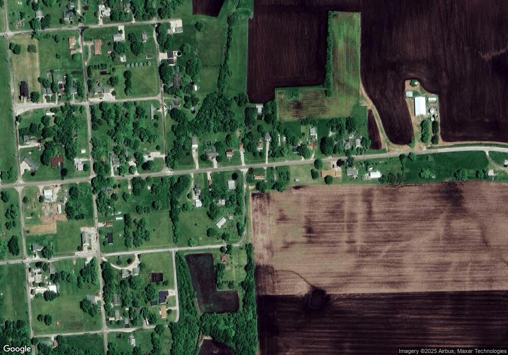
Map
Nearby Homes
- 203 E Chestnut St
- 107 N Front St
- 947 N 2nd Rd
- 4 Prairie View
- 0000 E 6th Rd
- 307 S Hickory St
- 722 E Bennington St
- 0 S Maple St
- 201 S Maple St
- 0 S Oak St
- 218 N Walnut St
- 302 N Walnut St
- 303 N Walnut St
- 319 S Main St
- 000 County Road 2700 E
- 2 Circle Dr
- 223 N Linden St
- 408 N Olive St
- 313 W Topeka St
- 418 W Santa fe Ave
- 309 E Broad St
- 308 E Broad St
- 404 E Broad St
- 307 E Broad St
- 305 E Broad St
- 306 E Broad St
- 110 Rowland St
- 406 E Broad St
- 303 E Broad St
- 400 E Broad St
- 405 E Broad St
- 411 E Broad St
- 410 E Broad St
- 412 E Broad St
- 207 E Broad St
- 208 E Broad St
- 111 N School St
- 209 E Chestnut St
- 201 N School St
- 205 E Broad St