Estimated Value: $286,000 - $446,943
3
Beds
2
Baths
2,346
Sq Ft
$149/Sq Ft
Est. Value
About This Home
This home is located at 101 S Eastown Rd, Lima, OH 45807 and is currently estimated at $350,314, approximately $149 per square foot. 101 S Eastown Rd is a home located in Allen County with nearby schools including Maplewood Elementary School, Elmwood Elementary School, and Shawnee Middle School.
Ownership History
Date
Name
Owned For
Owner Type
Purchase Details
Closed on
Jun 18, 2021
Sold by
Nom Lima Eastown Llc
Bought by
Bourquin Gael A
Current Estimated Value
Purchase Details
Closed on
Sep 26, 2007
Sold by
White Stephen E and The Steven E White Trust
Bought by
Nom Lima Eastown Llc
Purchase Details
Closed on
Sep 25, 2007
Sold by
Bourquin Gael A
Bought by
Nom Lima Eastown Llc
Purchase Details
Closed on
Oct 11, 1988
Bought by
Bourquin Gael A
Create a Home Valuation Report for This Property
The Home Valuation Report is an in-depth analysis detailing your home's value as well as a comparison with similar homes in the area
Home Values in the Area
Average Home Value in this Area
Purchase History
| Date | Buyer | Sale Price | Title Company |
|---|---|---|---|
| Bourquin Gael A | -- | None Available | |
| Nom Lima Eastown Llc | -- | Fidelity National Title Insu | |
| Nom Lima Eastown Llc | -- | Fidelity National Title Insu | |
| Nom Lima Eastown Llc | $680,356 | Fidelity National Title Insu | |
| Bourquin Gael A | -- | -- |
Source: Public Records
Tax History Compared to Growth
Tax History
| Year | Tax Paid | Tax Assessment Tax Assessment Total Assessment is a certain percentage of the fair market value that is determined by local assessors to be the total taxable value of land and additions on the property. | Land | Improvement |
|---|---|---|---|---|
| 2024 | $5,806 | $139,620 | $31,750 | $107,870 |
| 2023 | $5,250 | $113,510 | $25,800 | $87,710 |
| 2022 | $5,314 | $113,510 | $25,800 | $87,710 |
| 2021 | $5,329 | $113,330 | $25,620 | $87,710 |
| 2020 | $4,564 | $101,260 | $32,130 | $69,130 |
| 2019 | $4,564 | $101,260 | $32,130 | $69,130 |
| 2018 | $4,463 | $101,260 | $32,130 | $69,130 |
| 2017 | $4,385 | $94,960 | $32,130 | $62,830 |
| 2016 | $4,342 | $94,960 | $32,130 | $62,830 |
| 2015 | $4,219 | $94,960 | $32,130 | $62,830 |
| 2014 | $4,219 | $91,350 | $31,500 | $59,850 |
| 2013 | $3,809 | $91,350 | $31,500 | $59,850 |
Source: Public Records
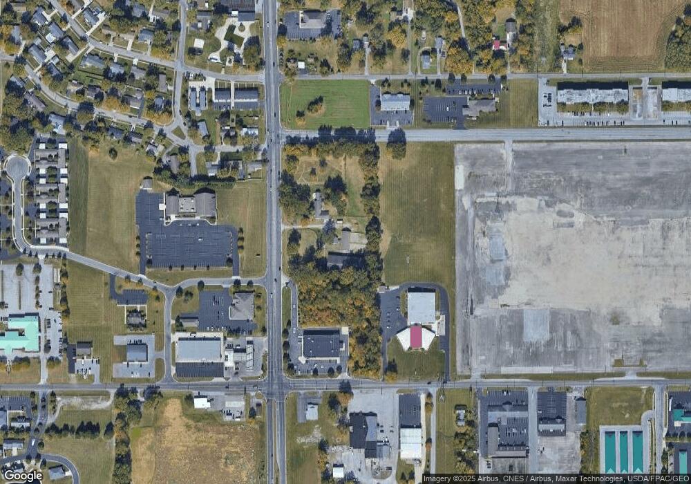
Map
Nearby Homes
- 2925 Koop Rd
- 2940 Koop Rd
- 2956 W High St
- N/A Eastown Rd N
- 2964 Hanover Dr
- 2958 Hanover Dr
- 2700 Lowell Ave
- 2921 Canterbury Dr
- 00 Seriff
- 704 Bentwood Dr
- 0 Springview Dr
- 391 N Fernwood Dr
- 2997 Cletus Pkwy
- 2992 Autumn Leaves Ct
- 3948 Chestnut Oak Trail
- 209 N Dale Dr
- 250 Squire Ln
- 2050 W Market St
- 3390 Spencerville Rd
- 1880 Wendell Ave