101 S Locust St Malden, IL 61337
Estimated Value: $49,873 - $197,000
--
Bed
--
Bath
--
Sq Ft
0.39
Acres
About This Home
This home is located at 101 S Locust St, Malden, IL 61337 and is currently estimated at $125,718. 101 S Locust St is a home located in Bureau County with nearby schools including Malden Grade School, Princeton High School, and Princeton Christian Academy.
Ownership History
Date
Name
Owned For
Owner Type
Purchase Details
Closed on
Aug 25, 2019
Sold by
Blumhorst Ethel M
Bought by
Hunter Tracey L and Hunter James G
Current Estimated Value
Purchase Details
Closed on
Aug 25, 2015
Sold by
Blumhosrt Ethel M
Bought by
Hunter Tracey L and Hunter James G
Purchase Details
Closed on
Jan 25, 2008
Sold by
Ultine Gladys Beth
Bought by
Blumhorst Harvey and Blumhorst Ethel
Home Financials for this Owner
Home Financials are based on the most recent Mortgage that was taken out on this home.
Original Mortgage
$16,000
Interest Rate
7.25%
Mortgage Type
Purchase Money Mortgage
Create a Home Valuation Report for This Property
The Home Valuation Report is an in-depth analysis detailing your home's value as well as a comparison with similar homes in the area
Home Values in the Area
Average Home Value in this Area
Purchase History
| Date | Buyer | Sale Price | Title Company |
|---|---|---|---|
| Hunter Tracey L | -- | None Available | |
| Hunter Tracey L | -- | Attorney | |
| Blumhorst Harvey | $15,000 | None Available |
Source: Public Records
Mortgage History
| Date | Status | Borrower | Loan Amount |
|---|---|---|---|
| Previous Owner | Blumhorst Harvey | $16,000 |
Source: Public Records
Tax History Compared to Growth
Tax History
| Year | Tax Paid | Tax Assessment Tax Assessment Total Assessment is a certain percentage of the fair market value that is determined by local assessors to be the total taxable value of land and additions on the property. | Land | Improvement |
|---|---|---|---|---|
| 2024 | $356 | $7,453 | $2,337 | $5,116 |
| 2023 | $356 | $6,943 | $2,177 | $4,766 |
| 2022 | $358 | $6,452 | $2,023 | $4,429 |
| 2021 | $378 | $5,954 | $1,867 | $4,087 |
| 2020 | $521 | $5,875 | $1,842 | $4,033 |
| 2019 | $521 | $5,766 | $1,808 | $3,958 |
| 2018 | $507 | $5,480 | $1,718 | $3,762 |
| 2017 | $505 | $5,356 | $1,679 | $3,677 |
| 2016 | $526 | $5,186 | $1,626 | $3,560 |
| 2015 | -- | $4,997 | $1,566 | $3,431 |
| 2014 | -- | $4,997 | $1,566 | $3,431 |
| 2013 | -- | $5,119 | $1,604 | $3,515 |
Source: Public Records
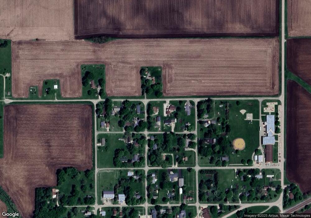
Map
Nearby Homes
- 308 W South St
- 1365 Lot 2 North St
- 19364 Walter Payton Memorial Hwy
- 24592 2235 North Ave
- Lot 6 Ace Rd
- 725 Independence Dr
- 00 N Main St
- 507 S 9th St
- 15570 2750 St E
- 8 & 9 Century Dr
- 8&9 W Century Dr
- 319 N Chestnut St
- 405 N Church St
- 120 W Marquette St
- 625 S 5th Avenue Dr
- 525 E Marion St
- 443 E Peru St
- 506 N Pleasant St
- 20 S Church St
- 311 W Franklin St