Estimated Value: $276,864
Studio
2
Baths
2,460
Sq Ft
$113/Sq Ft
Est. Value
About This Home
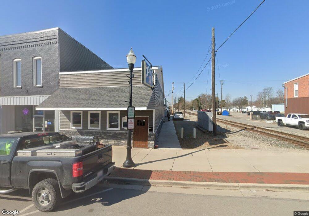
This home is located at 101 S Main St, Ada, OH 45810 and is currently estimated at $276,864, approximately $112 per square foot. 101 S Main St is a home located in Hardin County with nearby schools including Ada Elementary School and Ada High School.
Ownership History
Date
Name
Owned For
Owner Type
Purchase Details
Closed on
Jan 31, 2017
Sold by
Dye Cheryl A
Bought by
Bass Family Land Llc
Current Estimated Value
Home Financials for this Owner
Home Financials are based on the most recent Mortgage that was taken out on this home.
Original Mortgage
$120,000
Outstanding Balance
$20,286
Interest Rate
4.3%
Mortgage Type
Future Advance Clause Open End Mortgage
Estimated Equity
$256,578
Purchase Details
Closed on
Apr 11, 2005
Sold by
Agin Michael Joseph and Agin Debra Ann
Bought by
Dye Cheryl A
Home Financials for this Owner
Home Financials are based on the most recent Mortgage that was taken out on this home.
Original Mortgage
$70,000
Interest Rate
5.71%
Mortgage Type
Future Advance Clause Open End Mortgage
Purchase Details
Closed on
May 17, 2002
Bought by
Agin Michael J and Agin Debra A
Purchase Details
Closed on
Aug 6, 1997
Bought by
Theis Jonathan L and Theis Betha
Purchase Details
Closed on
Jul 30, 1992
Create a Home Valuation Report for This Property
The Home Valuation Report is an in-depth analysis detailing your home's value as well as a comparison with similar homes in the area
Home Values in the Area
Average Home Value in this Area
Purchase History
| Date | Buyer | Sale Price | Title Company |
|---|---|---|---|
| Bass Family Land Llc | $145,000 | Northwest Title | |
| Dye Cheryl A | $100,000 | -- | |
| Agin Michael J | $45,000 | -- | |
| Theis Jonathan L | $34,800 | -- | |
| -- | $16,300 | -- |
Source: Public Records
Mortgage History
| Date | Status | Borrower | Loan Amount |
|---|---|---|---|
| Open | Bass Family Land Llc | $120,000 | |
| Previous Owner | Dye Cheryl A | $70,000 |
Source: Public Records
Tax History
| Year | Tax Paid | Tax Assessment Tax Assessment Total Assessment is a certain percentage of the fair market value that is determined by local assessors to be the total taxable value of land and additions on the property. | Land | Improvement |
|---|---|---|---|---|
| 2024 | $1,974 | $37,400 | $1,720 | $35,680 |
| 2023 | $1,967 | $37,400 | $1,720 | $35,680 |
| 2022 | $958 | $16,000 | $1,810 | $14,190 |
| 2021 | $1,046 | $16,000 | $1,810 | $14,190 |
| 2020 | $1,055 | $16,000 | $1,810 | $14,190 |
| 2019 | $928 | $13,880 | $1,720 | $12,160 |
| 2018 | $916 | $13,880 | $1,720 | $12,160 |
| 2017 | $900 | $13,880 | $1,720 | $12,160 |
| 2016 | $896 | $13,880 | $1,720 | $12,160 |
| 2015 | $754 | $13,880 | $1,720 | $12,160 |
| 2014 | $890 | $13,880 | $1,720 | $12,160 |
| 2013 | $886 | $13,880 | $1,720 | $12,160 |
Source: Public Records
Map
Nearby Homes
- 211 S Main St
- 210 N Gilbert St
- 308-310 S Simon St
- 530 N Main St
- 442 Edwards St
- 327 W North Ave
- 314 E University Ave
- 128 W North Ave
- 602 Conley Ave
- 629 N Main St
- 503 E North Ave
- 724 N Main St
- 710 S Main St
- 746 N Main St Unit 61
- 746 N Main St Unit 63
- 746 N Main St Unit 74
- 746 N Main St Unit 9
- 746 N Main St Unit 35
- 746 N Main St Unit 5
- 746 N Main St Unit 39
- 105 S Main St
- 103.5 N Main St
- 101 N Main St
- 101.5 N Main St
- 107.5 N Main St
- 105.5 N Main St
- 105 N Main St
- 102 N Main St
- 110 N Main St
- 106 S Gilbert St
- 120 N Main St
- 109 E Buckeye Ave
- 121 N Main St
- 114 S Gilbert St
- 114 S Gilbert St Unit Rear
- 114 S Gilbert St Unit Lower
- 114 S Gilbert St Unit Upper
- 120 S Main St
- 125 S Main St
- 122 S Main St
Your Personal Tour Guide
Ask me questions while you tour the home.