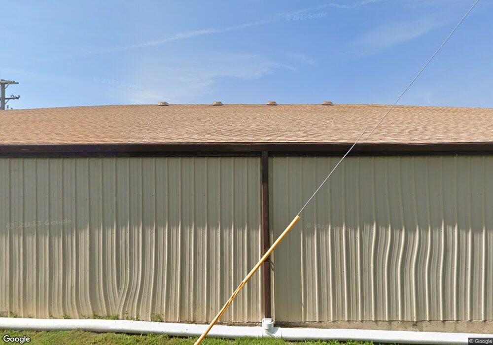
101 S Main St Mountain Grove, MO 65711
Studio
--
Bath
7,425
Sq Ft
0.26
Acres
About This Home
This home is located at 101 S Main St, Mountain Grove, MO 65711. 101 S Main St is a home located in Wright County with nearby schools including Mountain Grove Elementary School, Mountain Grove Middle School, and Mountain Grove High School.
Ownership History
Date
Name
Owned For
Owner Type
Purchase Details
Closed on
Jun 9, 2021
Sold by
Basil Springs Llc
Bought by
Matteos Pizza Llc
Purchase Details
Closed on
Dec 30, 2020
Sold by
Town & Country Bank
Bought by
Basil Springs Llc
Home Financials for this Owner
Home Financials are based on the most recent Mortgage that was taken out on this home.
Original Mortgage
$29,100
Interest Rate
2.7%
Mortgage Type
New Conventional
Purchase Details
Closed on
Jul 31, 2019
Sold by
Ricden Holdings Llc
Bought by
Town & Country Bank
Create a Home Valuation Report for This Property
The Home Valuation Report is an in-depth analysis detailing your home's value as well as a comparison with similar homes in the area
Home Values in the Area
Average Home Value in this Area
Purchase History
| Date | Buyer | Sale Price | Title Company |
|---|---|---|---|
| Matteos Pizza Llc | -- | None Available | |
| Basil Springs Llc | -- | None Listed On Document | |
| Town & Country Bank | $112,663 | None Available |
Source: Public Records
Mortgage History
| Date | Status | Borrower | Loan Amount |
|---|---|---|---|
| Previous Owner | Basil Springs Llc | $29,100 | |
| Previous Owner | Basil Springs Llc | $67,900 |
Source: Public Records
Tax History
| Year | Tax Paid | Tax Assessment Tax Assessment Total Assessment is a certain percentage of the fair market value that is determined by local assessors to be the total taxable value of land and additions on the property. | Land | Improvement |
|---|---|---|---|---|
| 2025 | $1,180 | $31,120 | $0 | $0 |
| 2024 | $11 | $27,720 | $0 | $0 |
| 2023 | $1,057 | $27,720 | $0 | $0 |
| 2022 | $1,292 | $33,510 | $0 | $0 |
| 2021 | $1,277 | $33,510 | $0 | $0 |
| 2020 | $1,320 | $34,270 | $0 | $0 |
| 2019 | $1,326 | $34,270 | $0 | $0 |
| 2018 | $1,273 | $32,910 | $0 | $0 |
| 2017 | $1,279 | $32,910 | $0 | $0 |
| 2016 | $1,266 | $32,910 | $0 | $0 |
| 2015 | -- | $31,070 | $0 | $0 |
| 2013 | -- | $31,070 | $0 | $0 |
Source: Public Records
Map
Nearby Homes
- 307 W North St
- 210 N Britain Ave
- 214 S Wall St Unit 1
- 214 S Wall St Unit 2
- 426/432 E South St
- 426 E South St
- 703 N Maple Ave
- 722 N Maple Ave
- 5553 Missouri 95
- 700 Robin Rd
- 621 W 1st St
- 308 S High St
- 626 M- West St N
- 626 W North St
- 630 W North St
- 312 W 11th St
- 635 W North St
- 314 W 11th St
- 300 E Clouse St
- 302 E Clouse St
- 101 E 2nd St
- 107 E 2nd St
- W 1st St 118 and 120
- 206 N Main St
- 113 W Side of Square
- 101 W Side of Square
- 115 Westside Square
- 0 Union Unit 14002450
- 107 W Side of Square
- 121 W 2nd St
- N/A Missouri 95
- Tbd Missouri 95
- 000 Missouri 95
- 785 Missouri 95
- 0 Missouri 95
- 117 & 119 E 2nd St
- 109 Westside Square
- 115 &117 E 2nd St
- 115 Union St
- TBD Union St
Your Personal Tour Guide
Ask me questions while you tour the home.