101 S Victor St Fowler, MI 48835
Estimated Value: $260,000 - $349,000
2
Beds
1
Bath
1,500
Sq Ft
$202/Sq Ft
Est. Value
About This Home
This home is located at 101 S Victor St, Fowler, MI 48835 and is currently estimated at $302,355, approximately $201 per square foot. 101 S Victor St is a home with nearby schools including Waldron Elementary/Middle School, Fowler High School, and Most Holy Trinity School.
Ownership History
Date
Name
Owned For
Owner Type
Purchase Details
Closed on
Apr 13, 2018
Sold by
Platte Dean B and Stanley J Platte Trust No 1
Bought by
Pung Lee
Current Estimated Value
Home Financials for this Owner
Home Financials are based on the most recent Mortgage that was taken out on this home.
Original Mortgage
$192,850
Outstanding Balance
$165,809
Interest Rate
4.43%
Mortgage Type
New Conventional
Estimated Equity
$136,546
Purchase Details
Closed on
Jul 11, 2017
Sold by
Platte Stanley J and Platte Jane F
Bought by
Platte Stanley J and Stanley J Platte Trust #1
Create a Home Valuation Report for This Property
The Home Valuation Report is an in-depth analysis detailing your home's value as well as a comparison with similar homes in the area
Home Values in the Area
Average Home Value in this Area
Purchase History
| Date | Buyer | Sale Price | Title Company |
|---|---|---|---|
| Pung Lee | $203,000 | Ata National Title Group Llc | |
| Platte Stanley J | -- | Attorney |
Source: Public Records
Mortgage History
| Date | Status | Borrower | Loan Amount |
|---|---|---|---|
| Open | Pung Lee | $192,850 |
Source: Public Records
Tax History Compared to Growth
Tax History
| Year | Tax Paid | Tax Assessment Tax Assessment Total Assessment is a certain percentage of the fair market value that is determined by local assessors to be the total taxable value of land and additions on the property. | Land | Improvement |
|---|---|---|---|---|
| 2025 | $3,335 | $146,800 | $20,900 | $125,900 |
| 2024 | $2,462 | $143,300 | $20,400 | $122,900 |
| 2023 | $2,337 | $131,400 | $0 | $0 |
| 2022 | $3,922 | $130,200 | $44,700 | $85,500 |
| 2021 | $3,814 | $123,500 | $43,100 | $80,400 |
| 2020 | $3,696 | $109,200 | $33,200 | $76,000 |
| 2019 | $3,110 | $104,700 | $28,500 | $76,200 |
| 2018 | $0 | $106,200 | $27,500 | $78,700 |
| 2017 | -- | $104,500 | $29,100 | $75,400 |
| 2016 | -- | $87,700 | $29,100 | $58,600 |
| 2015 | -- | $90,800 | $0 | $0 |
| 2011 | -- | $97,300 | $0 | $0 |
Source: Public Records
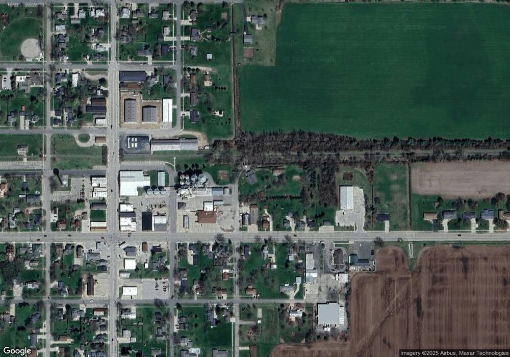
Map
Nearby Homes
- V/L W M21
- 10911 E Kent St
- 11040 W Ionia St
- 11138 W 2nd St
- 11255 W Wayne St
- Lot 8 N Wright Rd
- 982 Norway Dr
- 154 S Yates St
- 0 Yates St
- 9515 W Moss Rd
- 5550 Paxton Rd
- 0 W Colony Unit 286993
- 0 W Colony Unit 292916
- 7240 Empire Rd
- 8150 Idared Rd
- 11670 Jessup Rd
- 7757 N Forest Hill Rd
- 8095 Mcintosh Rd
- 209 W Adelaide St
- 129 E Main St