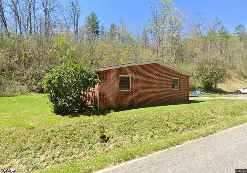
101 Sam Robertson Rd Burnsville, NC 28714
Estimated Value: $237,000 - $424,000
3
Beds
2
Baths
1,421
Sq Ft
$211/Sq Ft
Est. Value
About This Home
This home is located at 101 Sam Robertson Rd, Burnsville, NC 28714 and is currently estimated at $299,493, approximately $210 per square foot. 101 Sam Robertson Rd is a home located in Yancey County with nearby schools including Mountain Heritage High School.
Ownership History
Date
Name
Owned For
Owner Type
Purchase Details
Closed on
May 2, 2025
Sold by
Poehler Donald and Poehler Sheila
Bought by
Poehler Donald and Poehler Sheila
Current Estimated Value
Purchase Details
Closed on
Dec 13, 2024
Sold by
Robertson John Howard and Robertson Betty R
Bought by
Poehler Donald and Poehler Sheila
Purchase Details
Closed on
May 10, 2007
Sold by
Robertson John Howard and Robertson Betty R
Bought by
Robertson John Howard and Robertson Betty R
Create a Home Valuation Report for This Property
The Home Valuation Report is an in-depth analysis detailing your home's value as well as a comparison with similar homes in the area
Home Values in the Area
Average Home Value in this Area
Purchase History
| Date | Buyer | Sale Price | Title Company |
|---|---|---|---|
| Poehler Donald | -- | None Listed On Document | |
| Poehler Donald | -- | None Listed On Document | |
| Poehler Donald | $225,000 | None Listed On Document | |
| Robertson John Howard | -- | None Available |
Source: Public Records
Tax History Compared to Growth
Tax History
| Year | Tax Paid | Tax Assessment Tax Assessment Total Assessment is a certain percentage of the fair market value that is determined by local assessors to be the total taxable value of land and additions on the property. | Land | Improvement |
|---|---|---|---|---|
| 2025 | $1,113 | $198,800 | $79,600 | $119,200 |
| 2024 | $1,100 | $196,400 | $77,200 | $119,200 |
| 2023 | $754 | $117,740 | $31,200 | $86,540 |
| 2022 | $738 | $117,740 | $31,200 | $86,540 |
| 2021 | $754 | $117,740 | $31,200 | $86,540 |
| 2020 | $754 | $117,740 | $31,200 | $86,540 |
| 2019 | $754 | $117,740 | $31,200 | $86,540 |
| 2018 | $754 | $117,740 | $31,200 | $86,540 |
| 2017 | $754 | $117,740 | $31,200 | $86,540 |
| 2016 | $754 | $117,740 | $31,200 | $86,540 |
| 2015 | $683 | $126,520 | $33,800 | $92,720 |
| 2014 | $683 | $126,520 | $33,800 | $92,720 |
Source: Public Records
Map
Nearby Homes
- 239 Pleasant Valley Rd
- 423 Hardscrabble Rd
- 18 Misty Meadows Rd
- 707 Lickskillet Rd
- 237 Hickory Nut Ridge Rd Unit 10
- 211 Evergreen Rd
- 456 Maney Branch Rd
- 000 Maney Branch Rd
- 456 & 000 Maney Branch Rd
- 151 Swiss Loop
- 1375 Swing Rd
- 99999 Windswept Dr
- 351 Swiss Loop
- 10 Blossom Dr
- 384 Doan Town Rd
- 00 Prices Creek Rd
- 0 McPeters Ln Unit CAR4243841
- 00 McPeters Ln
- 351 Buck Springs Run
- 1675 Ponder Creek Rd
- 25 Ew Wilson Ln
- 29 Ew Wilson Ln
- 26 Ew Wilson Ln
- 44 Last Round Up Dr
- 000 Lickskillet Road ( Off)
- 00 Lickskillet Rd
- 288 Sam Robertson Rd
- 57 Pleasant Valley Rd
- 83 Pleasant Valley Rd
- 133 Hardscrabble Rd
- 105 Pleasant Valley Rd
- 55 Ruffed Grouse Ln
- 32 Lickskillet Rd
- 76 Pleasant Valley Rd
- 11 Ruffed Grouse Ln
- 27 Hardscrabble Rd
- 42 Oak Knoll Dr
- 52 Bald Creek School Rd
- 2 Hardscrabble Rd
- 51 Bald Creek School Rd