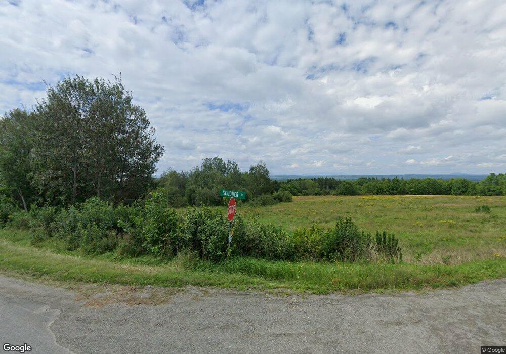
101 Scudder Rd Sherman, ME 04776
Estimated Value: $174,583 - $381,000
3
Beds
1
Bath
1,588
Sq Ft
$147/Sq Ft
Est. Value
About This Home
This home is located at 101 Scudder Rd, Sherman, ME 04776 and is currently estimated at $234,146, approximately $147 per square foot. 101 Scudder Rd is a home located in Aroostook County.
Ownership History
Date
Name
Owned For
Owner Type
Purchase Details
Closed on
Oct 29, 2012
Sold by
Department Of Housing & Urban Dev
Bought by
Schomburg Susan E
Current Estimated Value
Purchase Details
Closed on
May 14, 2007
Sold by
Drew Cindy L and Anderson Cheryl G
Bought by
Wyman Lawrence A
Home Financials for this Owner
Home Financials are based on the most recent Mortgage that was taken out on this home.
Original Mortgage
$143,271
Interest Rate
6.21%
Mortgage Type
FHA
Create a Home Valuation Report for This Property
The Home Valuation Report is an in-depth analysis detailing your home's value as well as a comparison with similar homes in the area
Home Values in the Area
Average Home Value in this Area
Purchase History
| Date | Buyer | Sale Price | Title Company |
|---|---|---|---|
| Schomburg Susan E | -- | -- | |
| Wyman Lawrence A | -- | -- |
Source: Public Records
Mortgage History
| Date | Status | Borrower | Loan Amount |
|---|---|---|---|
| Previous Owner | Wyman Lawrence A | $143,271 |
Source: Public Records
Tax History Compared to Growth
Tax History
| Year | Tax Paid | Tax Assessment Tax Assessment Total Assessment is a certain percentage of the fair market value that is determined by local assessors to be the total taxable value of land and additions on the property. | Land | Improvement |
|---|---|---|---|---|
| 2024 | $2,015 | $84,300 | $11,700 | $72,600 |
| 2023 | $1,517 | $84,300 | $11,700 | $72,600 |
| 2022 | $1,855 | $84,300 | $11,700 | $72,600 |
| 2021 | $1,947 | $84,300 | $11,700 | $72,600 |
| 2020 | $2,108 | $84,300 | $11,700 | $72,600 |
| 2019 | $2,234 | $84,300 | $11,700 | $72,600 |
| 2018 | $1,295 | $84,300 | $11,700 | $72,600 |
| 2017 | $2,278 | $84,300 | $11,700 | $72,600 |
| 2016 | $1,643 | $84,300 | $11,700 | $72,600 |
| 2015 | $1,686 | $84,300 | $11,700 | $72,600 |
| 2014 | $1,686 | $84,300 | $11,700 | $72,600 |
Source: Public Records
Map
Nearby Homes
- 899 Golden Ridge Rd
- 37 Coldbrook Rd
- 486 North St
- 100 Cold Brook Rd
- Lot 18 U S Route 2
- Map7 Lot21
- 430 Gallison Rd
- 416 Woodbridge Corner Rd
- 30 Island Falls Rd
- 58 Thorne Rd
- 22 Woodbridge Corner Rd
- 319 Main St
- 9 Extract Rd
- Lot D Cow Team Rd
- 283 Main St
- 48 Extract Rd
- 8 Blakely St
- 411 Station
- 419 Station Rd
- Station Rd
- 808 Golden Ridge Rd
- 136 Scudder Rd
- 746 Golden Ridge Rd
- 6 Prairie Rd
- 11 Prairie Rd
- 737 Golden Ridge Rd
- 852 Golden Ridge Rd
- 895 Golden Ridge Rd
- 57 Prairie Rd
- 885 Golden Ridge Rd
- 690 Golden Ridge Rd
- 658 Golden Ridge Rd
- 691 Golden Ridge Rd
- 71 Prairie Rd
- 23 Prairie Rd
- 670 Golden Ridge Rd
- 97 Prairie Rd
- 657 Golden Ridge Rd
- 657 Ridge Rd
- 132 Prairie Rd
