101 Sentinel Rock Ln Pittsboro, NC 27312
Estimated Value: $455,166 - $894,000
--
Bed
--
Bath
--
Sq Ft
10.39
Acres
About This Home
This home is located at 101 Sentinel Rock Ln, Pittsboro, NC 27312 and is currently estimated at $665,722. 101 Sentinel Rock Ln is a home with nearby schools including Margaret B. Pollard Middle School, Northwood High, and Holy Youth Christian Academy.
Ownership History
Date
Name
Owned For
Owner Type
Purchase Details
Closed on
Dec 21, 2005
Sold by
Basnight Dorothy
Bought by
Basnight Don and Holler Mary Virginia
Current Estimated Value
Home Financials for this Owner
Home Financials are based on the most recent Mortgage that was taken out on this home.
Original Mortgage
$24,140
Interest Rate
6.29%
Mortgage Type
Stand Alone Refi Refinance Of Original Loan
Create a Home Valuation Report for This Property
The Home Valuation Report is an in-depth analysis detailing your home's value as well as a comparison with similar homes in the area
Home Values in the Area
Average Home Value in this Area
Purchase History
| Date | Buyer | Sale Price | Title Company |
|---|---|---|---|
| Basnight Don | -- | None Available |
Source: Public Records
Mortgage History
| Date | Status | Borrower | Loan Amount |
|---|---|---|---|
| Closed | Basnight Don | $24,140 |
Source: Public Records
Tax History Compared to Growth
Tax History
| Year | Tax Paid | Tax Assessment Tax Assessment Total Assessment is a certain percentage of the fair market value that is determined by local assessors to be the total taxable value of land and additions on the property. | Land | Improvement |
|---|---|---|---|---|
| 2025 | $1,184 | $168,620 | $168,184 | $436 |
| 2024 | $1,184 | $149,441 | $149,072 | $369 |
| 2023 | $1,275 | $149,441 | $149,072 | $369 |
| 2022 | $1,170 | $149,441 | $149,072 | $369 |
| 2021 | $1,155 | $149,441 | $149,072 | $369 |
| 2020 | $1,178 | $151,366 | $151,366 | $0 |
| 2019 | $1,178 | $151,366 | $151,366 | $0 |
| 2018 | $0 | $151,366 | $151,366 | $0 |
| 2017 | $1,107 | $151,366 | $151,366 | $0 |
| 2016 | $1,014 | $137,605 | $137,605 | $0 |
| 2015 | $998 | $137,605 | $137,605 | $0 |
| 2014 | $977 | $137,605 | $137,605 | $0 |
| 2013 | -- | $137,605 | $137,605 | $0 |
Source: Public Records
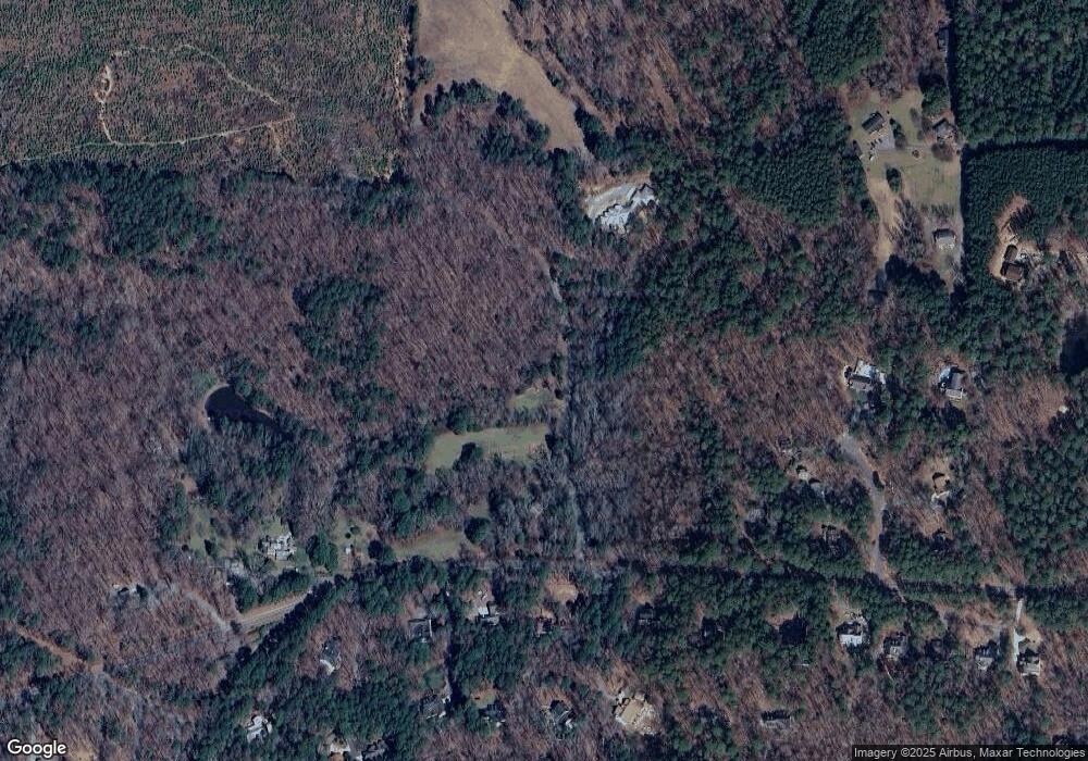
Map
Nearby Homes
- 170 Kenwood Ln
- 93 Kenwood Ln
- 75 Kenwood Ln
- 34 Chestnut Way
- L2-37 Lamont Norwood Rd
- 33 Henry Ct
- 114 Margaret Mann Way
- 236 Emelia Ln
- 131 Evander Way
- 67 Ada Ct
- 23 Bonterra Way
- 586 Middleton Place
- 337 Ivy Ridge Rd
- 318 Ivy Ridge Rd
- 269 Ivy Ridge Rd
- 250 Ivy Ridge Rd
- 51 Araya Ln
- 110 Wolfs Trail
- 103 Stonehill Rd
- 183 Post Oak Rd
- 150 Sentinel Rock Ln
- 150 Rocky Knolls
- 150 Rocky Knolls
- 10 Winding Branch Ln
- 10 Winding Branch Rd
- 95 Blueberry Hill Rd
- 29 Sourwood Ln
- 2820 Lamont Norwood Rd
- 2939 Lamont Norwood Rd
- 10 Sourwood Ln
- 16 Sourwood Ln
- 63 Blueberry Hill Rd
- 16 Elwood Dr
- 2673 Lamont Norwood Rd
- 86 Blueberry Hill Rd
- 54 Winding Branch Rd
- 54 Winding Branch Ln
- 53 Sourwood Ln
- 23 Blueberry Hill Rd
- 20 Rockwood Ln