Estimated Value: $217,677 - $265,000
3
Beds
1
Bath
1,304
Sq Ft
$191/Sq Ft
Est. Value
About This Home
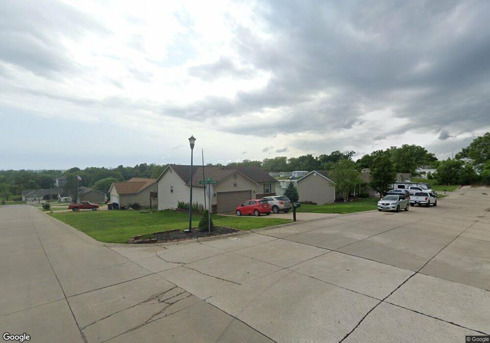
This home is located at 101 Taylors Crossing, Union, MO 63084 and is currently estimated at $248,919, approximately $190 per square foot. 101 Taylors Crossing is a home with nearby schools including Union High School and Immaculate Conception School.
Ownership History
Date
Name
Owned For
Owner Type
Purchase Details
Closed on
Dec 22, 2011
Sold by
C Peterson Construction Co
Bought by
Benton Ronald William and Benton Patricia A
Current Estimated Value
Home Financials for this Owner
Home Financials are based on the most recent Mortgage that was taken out on this home.
Original Mortgage
$153,225
Outstanding Balance
$104,917
Interest Rate
4.03%
Mortgage Type
VA
Estimated Equity
$144,002
Purchase Details
Closed on
Sep 9, 2011
Sold by
Kee Enterprises Llc
Bought by
C Peterson Construction Co Inc
Create a Home Valuation Report for This Property
The Home Valuation Report is an in-depth analysis detailing your home's value as well as a comparison with similar homes in the area
Home Values in the Area
Average Home Value in this Area
Purchase History
| Date | Buyer | Sale Price | Title Company |
|---|---|---|---|
| Benton Ronald William | $145,000 | None Available | |
| C Peterson Construction Co Inc | -- | None Available |
Source: Public Records
Mortgage History
| Date | Status | Borrower | Loan Amount |
|---|---|---|---|
| Open | Benton Ronald William | $153,225 |
Source: Public Records
Tax History Compared to Growth
Tax History
| Year | Tax Paid | Tax Assessment Tax Assessment Total Assessment is a certain percentage of the fair market value that is determined by local assessors to be the total taxable value of land and additions on the property. | Land | Improvement |
|---|---|---|---|---|
| 2024 | $2,052 | $34,042 | $0 | $0 |
| 2023 | $2,052 | $34,042 | $0 | $0 |
| 2022 | $1,958 | $32,427 | $0 | $0 |
| 2021 | $1,961 | $32,427 | $0 | $0 |
| 2020 | $1,788 | $29,083 | $0 | $0 |
| 2019 | $1,766 | $28,795 | $0 | $0 |
| 2018 | $1,542 | $26,389 | $0 | $0 |
| 2017 | $1,546 | $26,389 | $0 | $0 |
| 2016 | $1,460 | $24,366 | $0 | $0 |
| 2015 | $1,437 | $24,366 | $0 | $0 |
| 2014 | $1,438 | $24,366 | $0 | $0 |
Source: Public Records
Map
Nearby Homes
- 1017 Delmar Ave
- 3 Mount Vernon Ct
- 7 Georgetown Ct
- 873 W Park Rd
- 620 Union Ave
- 310 Franklin Ave
- 21 Forest Ln
- 204 Wally Ave
- 613 W State St
- 101 Hickory Cir
- 33 Hickory Cir
- 89 Hickory Cir
- 42 Hickory Cir
- 54 Hickory Cir
- 506 W Main St
- 7 Bertha Ln
- Lot 1 E State Highway 47
- Lot 2 E State Highway 47
- 1103 W Main St
- 300 Bourbeuse Rd
- 37 Kee Dr
- 21 Kee Dr
- 21Lot # Kee Dr
- 103 Taylors Crossing
- 7 Kee Dr
- 0 Lot 17 Kee Dr Unit 80011549
- 0 Lot 15 Kee Dr Unit 80011518
- 0 Lot 17 Kee Dr Unit 80031779
- 0 Lot 15 Kee Dr Unit 80031774
- 3 Nickolas Ct
- 102 Taylors Crossing
- 10 Kee Dr
- 12 Kee Dr
- 70 Kee Dr
- 64 Kee Dr
- 58 Kee Dr
- 50 Kee Dr
- 104 Taylors Crossing
- 0 Lot 16 Kee Dr Unit 80011545
- 0 Lot 16 Kee Dr Unit 80031775