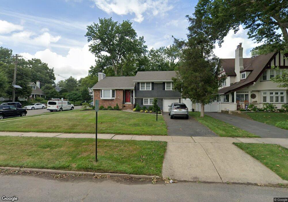
101 Thomas St Cranford, NJ 07016
Estimated Value: $800,550 - $1,005,000
--
Bed
--
Bath
1,778
Sq Ft
$518/Sq Ft
Est. Value
About This Home
This home is located at 101 Thomas St, Cranford, NJ 07016 and is currently estimated at $920,138, approximately $517 per square foot. 101 Thomas St is a home located in Union County with nearby schools including Cranford Sr High School and St Michael School.
Ownership History
Date
Name
Owned For
Owner Type
Purchase Details
Closed on
Nov 12, 2014
Sold by
Latour David and Latour Melisa
Bought by
Ramsay Robert R and Ramsay Jennifer Marie
Current Estimated Value
Home Financials for this Owner
Home Financials are based on the most recent Mortgage that was taken out on this home.
Original Mortgage
$412,000
Outstanding Balance
$317,573
Interest Rate
4.17%
Mortgage Type
New Conventional
Estimated Equity
$602,565
Purchase Details
Closed on
Dec 17, 2008
Sold by
Ambrose Daniel V and Ambrose Wanda A
Bought by
Latour David and Latour Melisa
Home Financials for this Owner
Home Financials are based on the most recent Mortgage that was taken out on this home.
Original Mortgage
$417,000
Interest Rate
6.27%
Mortgage Type
Purchase Money Mortgage
Purchase Details
Closed on
Jun 20, 2006
Sold by
Bilyeau Olga Neme
Bought by
Ambrose Daniel and Ambrose Wanda A
Home Financials for this Owner
Home Financials are based on the most recent Mortgage that was taken out on this home.
Original Mortgage
$355,250
Interest Rate
6.59%
Mortgage Type
FHA
Create a Home Valuation Report for This Property
The Home Valuation Report is an in-depth analysis detailing your home's value as well as a comparison with similar homes in the area
Home Values in the Area
Average Home Value in this Area
Purchase History
| Date | Buyer | Sale Price | Title Company |
|---|---|---|---|
| Ramsay Robert R | $515,000 | None Available | |
| Latour David | $495,000 | None Available | |
| Ambrose Daniel | $495,000 | -- |
Source: Public Records
Mortgage History
| Date | Status | Borrower | Loan Amount |
|---|---|---|---|
| Open | Ramsay Robert R | $412,000 | |
| Previous Owner | Latour David | $417,000 | |
| Previous Owner | Ambrose Daniel | $355,250 |
Source: Public Records
Tax History Compared to Growth
Tax History
| Year | Tax Paid | Tax Assessment Tax Assessment Total Assessment is a certain percentage of the fair market value that is determined by local assessors to be the total taxable value of land and additions on the property. | Land | Improvement |
|---|---|---|---|---|
| 2025 | $11,992 | $176,900 | $83,700 | $93,200 |
| 2024 | $11,794 | $176,900 | $83,700 | $93,200 |
| 2023 | $11,794 | $176,900 | $83,700 | $93,200 |
| 2022 | $11,697 | $176,900 | $83,700 | $93,200 |
| 2021 | $11,645 | $176,900 | $83,700 | $93,200 |
| 2020 | $11,608 | $176,900 | $83,700 | $93,200 |
| 2019 | $11,534 | $176,900 | $83,700 | $93,200 |
| 2018 | $11,325 | $176,900 | $83,700 | $93,200 |
| 2017 | $10,936 | $176,900 | $83,700 | $93,200 |
| 2016 | $10,538 | $176,900 | $83,700 | $93,200 |
| 2015 | $10,262 | $176,900 | $83,700 | $93,200 |
| 2014 | $10,051 | $176,900 | $83,700 | $93,200 |
Source: Public Records
Map
Nearby Homes
- 76 Centennial Ave
- 129 Thomas St
- 110 Lincoln Park E
- 522 Lincoln Park E
- 383 Lincoln Ave E
- 219 Centennial Ave Unit B
- 1 Broad St
- 211 High St
- 98 Winans Ave
- 247 Walnut Ave
- 37 Broad St
- 18 Springfield Ave Unit 2D
- 166 N Lehigh Ave
- 212 Scherrer St
- 19 Hawthorne St
- 305 Prospect Ave
- 27 Wade Ave
- 2 Pine St
- 127 Bryant Ave
- 102 Adams Ave