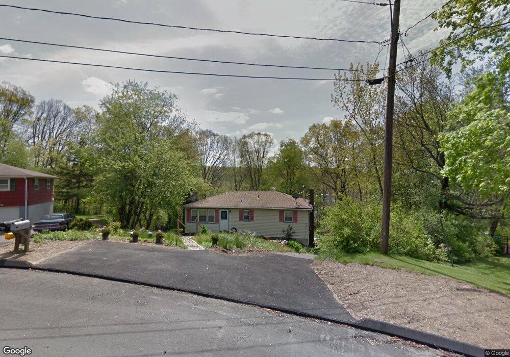
101 Tosun Rd Wolcott, CT 06716
Estimated Value: $271,000 - $307,000
2
Beds
6
Baths
960
Sq Ft
$303/Sq Ft
Est. Value
About This Home
This home is located at 101 Tosun Rd, Wolcott, CT 06716 and is currently estimated at $290,952, approximately $303 per square foot. 101 Tosun Rd is a home located in New Haven County with nearby schools including Tyrrell Middle School, Wolcott High School, and St Peter & Paul School.
Ownership History
Date
Name
Owned For
Owner Type
Purchase Details
Closed on
Jan 7, 2009
Sold by
Es Henebery Carmella M and Brackett Debra A
Bought by
Parola Deborah
Current Estimated Value
Home Financials for this Owner
Home Financials are based on the most recent Mortgage that was taken out on this home.
Original Mortgage
$100,000
Outstanding Balance
$65,891
Interest Rate
5.99%
Estimated Equity
$225,061
Create a Home Valuation Report for This Property
The Home Valuation Report is an in-depth analysis detailing your home's value as well as a comparison with similar homes in the area
Home Values in the Area
Average Home Value in this Area
Purchase History
| Date | Buyer | Sale Price | Title Company |
|---|---|---|---|
| Parola Deborah | $125,000 | -- |
Source: Public Records
Mortgage History
| Date | Status | Borrower | Loan Amount |
|---|---|---|---|
| Open | Parola Deborah | $100,000 | |
| Previous Owner | Parola Deborah | $80,000 | |
| Previous Owner | Parola Deborah | $80,000 | |
| Previous Owner | Parola Deborah | $75,000 |
Source: Public Records
Tax History Compared to Growth
Tax History
| Year | Tax Paid | Tax Assessment Tax Assessment Total Assessment is a certain percentage of the fair market value that is determined by local assessors to be the total taxable value of land and additions on the property. | Land | Improvement |
|---|---|---|---|---|
| 2025 | $4,276 | $119,000 | $34,890 | $84,110 |
| 2024 | $3,935 | $119,000 | $34,890 | $84,110 |
| 2023 | $3,793 | $119,000 | $34,890 | $84,110 |
| 2022 | $3,665 | $119,000 | $34,890 | $84,110 |
| 2021 | $3,346 | $100,970 | $33,120 | $67,850 |
| 2020 | $3,346 | $100,970 | $33,120 | $67,850 |
| 2019 | $3,346 | $100,970 | $33,120 | $67,850 |
| 2018 | $3,251 | $100,970 | $33,120 | $67,850 |
| 2017 | $3,157 | $100,970 | $33,120 | $67,850 |
| 2016 | $3,305 | $114,310 | $33,750 | $80,560 |
| 2015 | $3,210 | $114,310 | $33,750 | $80,560 |
| 2014 | $3,106 | $114,310 | $33,750 | $80,560 |
Source: Public Records
Map
Nearby Homes
- 8 Constitution Dr
- 47 Finch Rd
- 106 Wakelee Rd Unit 13
- 24 Sharon Rd Unit 3
- 36 Sharon Rd Unit 9
- 7 Pimlico Rd
- 3 Pimlico Rd
- 186 Windy Dr
- 0 Arvida Rd Unit 24054898
- 2 Red Fox Run
- 0 Woodtick Rd Unit 24119429
- 374 Beth Ln
- 20 Blue Trail Dr
- 20 Wolf Hill Rd Unit 4D
- 20 Wolf Hill Rd Unit 6F
- 9 Bouffard Ave
- 322 Beth Ln
- 286 Beth Ln Unit 16
- 44 Knollwood Dr
- 210 Munson Rd Unit 2-G