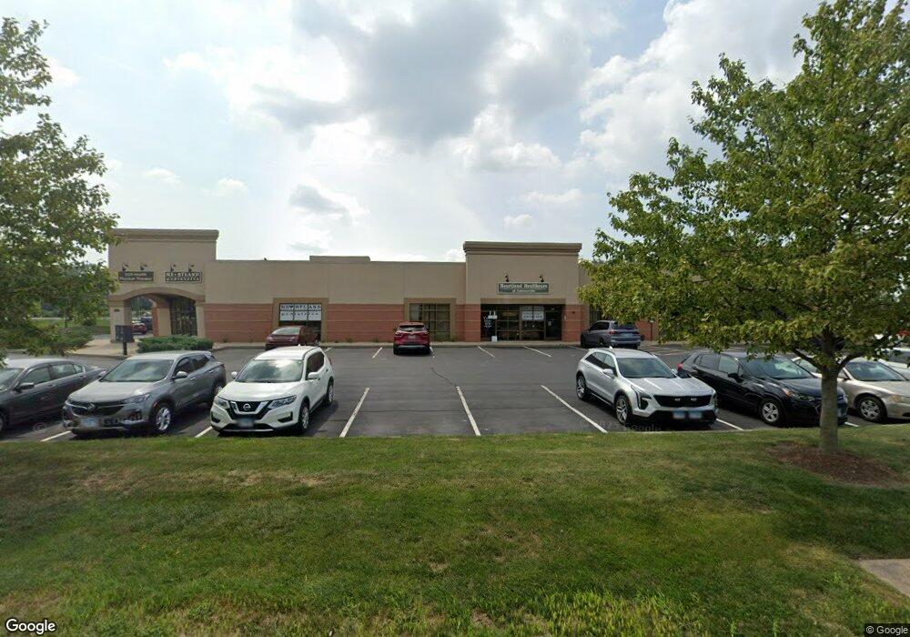
101 United Dr Collinsville, IL 62234
Estimated Value: $2,093,752
--
Bed
--
Bath
13,534
Sq Ft
$155/Sq Ft
Est. Value
About This Home
This home is located at 101 United Dr, Collinsville, IL 62234 and is currently estimated at $2,093,752, approximately $154 per square foot. 101 United Dr is a home located in Madison County with nearby schools including Dorris Intermediate School, Twin Echo Elementary School, and Collinsville Middle School.
Ownership History
Date
Name
Owned For
Owner Type
Purchase Details
Closed on
Nov 16, 2009
Sold by
Abell Real Estate Partnership
Bought by
Retko Group Llc
Current Estimated Value
Purchase Details
Closed on
Nov 7, 2005
Sold by
J & M Properties Llc
Bought by
Abell Real Estate Partnership
Home Financials for this Owner
Home Financials are based on the most recent Mortgage that was taken out on this home.
Original Mortgage
$154,000
Interest Rate
7%
Mortgage Type
Commercial
Create a Home Valuation Report for This Property
The Home Valuation Report is an in-depth analysis detailing your home's value as well as a comparison with similar homes in the area
Home Values in the Area
Average Home Value in this Area
Purchase History
| Date | Buyer | Sale Price | Title Company |
|---|---|---|---|
| Retko Group Llc | $1,223,000 | Chicago Title | |
| Abell Real Estate Partnership | $154,000 | Attorneys Title |
Source: Public Records
Mortgage History
| Date | Status | Borrower | Loan Amount |
|---|---|---|---|
| Previous Owner | Abell Real Estate Partnership | $154,000 |
Source: Public Records
Tax History Compared to Growth
Tax History
| Year | Tax Paid | Tax Assessment Tax Assessment Total Assessment is a certain percentage of the fair market value that is determined by local assessors to be the total taxable value of land and additions on the property. | Land | Improvement |
|---|---|---|---|---|
| 2024 | $38,412 | $600,850 | $86,590 | $514,260 |
| 2023 | $38,412 | $556,140 | $80,150 | $475,990 |
| 2022 | $36,602 | $514,280 | $74,120 | $440,160 |
| 2021 | $33,230 | $481,060 | $69,520 | $411,540 |
| 2020 | $32,037 | $458,980 | $66,330 | $392,650 |
| 2019 | $31,188 | $443,290 | $64,060 | $379,230 |
| 2018 | $30,486 | $419,930 | $60,690 | $359,240 |
| 2017 | $30,538 | $411,570 | $59,480 | $352,090 |
| 2016 | $32,163 | $411,570 | $59,480 | $352,090 |
| 2015 | $30,006 | $400,860 | $57,930 | $342,930 |
| 2014 | $30,006 | $400,860 | $57,930 | $342,930 |
| 2013 | $30,006 | $400,860 | $57,930 | $342,930 |
Source: Public Records
Map
Nearby Homes
- 2007 Belt Line Rd
- 1051 Lafayette Ct Unit A
- 1059 Lafayette Ct Unit A
- 1035 Lafayette Ct Unit B
- 1121 Carraway Ct
- 5 Brookwood Dr
- 22 Brookwood Dr
- 414 Bunker Hill Dr
- 100 Debbie Dr
- 10 White Lily Dr
- 45 Bellevue Dr
- 123 Elliot St
- 1224 Cedar Ridge Ct
- 0 Strong Ave
- 510 N Combs Ave
- 101 Westminster Dr
- 0 N Keebler Ave
- 580 N Guernsey St
- 123 W Wickliffe Ave
- 205 Audrey Ave
- 102 United Dr
- 1931 Belt Line Rd
- 8 Woodland Trails Dr
- 108 United Dr
- 2016 Belt Line Rd
- 2016 Beltline Rd
- 0TBB Collinsport Dr
- 2020 Beltline Rd
- 701 N Bluff Rd
- 83 Deer Chase
- 255 Sandridge Dr
- 0 Collinsport Dr
- 0 Collinsport Xxx Dr
- 251 Sandridge Dr
- 257 Sandridge Dr Unit 257
- 247 Sandridge Dr
- 260 Sandridge Dr
- 243 Sandridge Dr
- 85 Deer Chase
- 239 Sandridge Dr