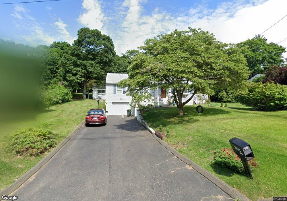
101 Upper State St North Haven, CT 06473
Estimated Value: $374,063 - $438,000
3
Beds
1
Bath
1,045
Sq Ft
$378/Sq Ft
Est. Value
About This Home
This home is located at 101 Upper State St, North Haven, CT 06473 and is currently estimated at $395,016, approximately $378 per square foot. 101 Upper State St is a home located in New Haven County with nearby schools including North Haven Middle School and North Haven High School.
Ownership History
Date
Name
Owned For
Owner Type
Purchase Details
Closed on
Mar 19, 2014
Sold by
Sariyildiz Veysek L
Bought by
Sariyildiz Veysel and Sariyildiz Dlif
Current Estimated Value
Home Financials for this Owner
Home Financials are based on the most recent Mortgage that was taken out on this home.
Original Mortgage
$142,000
Outstanding Balance
$107,262
Interest Rate
4.25%
Estimated Equity
$287,754
Purchase Details
Closed on
Jun 23, 2010
Sold by
Martindale Charles A and Martindale Lucille M
Bought by
Sariyildiz Veysel
Home Financials for this Owner
Home Financials are based on the most recent Mortgage that was taken out on this home.
Original Mortgage
$140,000
Interest Rate
4.98%
Purchase Details
Closed on
Apr 22, 1992
Sold by
Derby Svg Bk
Bought by
Martindale Charles A and Martindale Lucille
Purchase Details
Closed on
Oct 28, 1988
Sold by
Toni Richard D
Bought by
Ader Michael
Create a Home Valuation Report for This Property
The Home Valuation Report is an in-depth analysis detailing your home's value as well as a comparison with similar homes in the area
Home Values in the Area
Average Home Value in this Area
Purchase History
| Date | Buyer | Sale Price | Title Company |
|---|---|---|---|
| Sariyildiz Veysel | -- | -- | |
| Sariyildiz Veysel | $230,000 | -- | |
| Martindale Charles A | $118,000 | -- | |
| Ader Michael | $157,500 | -- |
Source: Public Records
Mortgage History
| Date | Status | Borrower | Loan Amount |
|---|---|---|---|
| Open | Ader Michael | $142,000 | |
| Previous Owner | Ader Michael | $140,000 | |
| Previous Owner | Ader Michael | $150,000 | |
| Previous Owner | Ader Michael | $88,000 |
Source: Public Records
Tax History Compared to Growth
Tax History
| Year | Tax Paid | Tax Assessment Tax Assessment Total Assessment is a certain percentage of the fair market value that is determined by local assessors to be the total taxable value of land and additions on the property. | Land | Improvement |
|---|---|---|---|---|
| 2025 | $5,772 | $195,930 | $78,890 | $117,040 |
| 2024 | $5,153 | $148,750 | $78,900 | $69,850 |
| 2023 | $4,857 | $148,750 | $78,900 | $69,850 |
| 2022 | $4,568 | $148,750 | $78,900 | $69,850 |
| 2021 | $4,568 | $148,750 | $78,900 | $69,850 |
| 2020 | $4,570 | $148,750 | $78,900 | $69,850 |
| 2019 | $4,915 | $157,640 | $79,940 | $77,700 |
| 2018 | $4,915 | $157,640 | $79,940 | $77,700 |
| 2017 | $4,821 | $157,640 | $79,940 | $77,700 |
| 2016 | $4,813 | $157,640 | $79,940 | $77,700 |
| 2015 | $4,638 | $157,640 | $79,940 | $77,700 |
| 2014 | $4,898 | $174,300 | $93,450 | $80,850 |
Source: Public Records
Map
Nearby Homes
- 167 Kings Hwy
- 1866 Hartford Turnpike
- 9 Russell Rd
- 6 Liberty Terrace
- 78 Blue Hills Rd
- 11 Saint John St Unit G8
- 1400 Hartford Turnpike Unit 24
- 1400 Hartford Turnpike Unit 25
- 10 Melissa Dr
- 71 Leonardo Dr
- 50 Bassett Rd
- 2838 Whitney Ave Unit 2
- 140 Shawmut Ave
- 110 Dickerman St
- 100-150 Dodge Ave
- 51 Charlton Hill Rd
- 93 Cannon St
- 130 Murlyn Rd
- 124 Lincoln St
- 55 Forest St
- 105 Upper State St
- 95 Upper State St
- 106 Upper State St
- 97 Upper State St
- 91 Upper State St
- 98 Upper State St
- 100 Upper State St
- 96 Upper State St
- 87 Upper State St
- 117 Upper State St
- 92 Upper State St
- 113 Upper State St
- 114 Upper State St
- 93 Upper State St
- 79 Upper State St
- 86 Upper State St
- 83 Upper State St
- 122 Upper State St
- 80 Upper State St
- 1687 Hartford Turnpike
