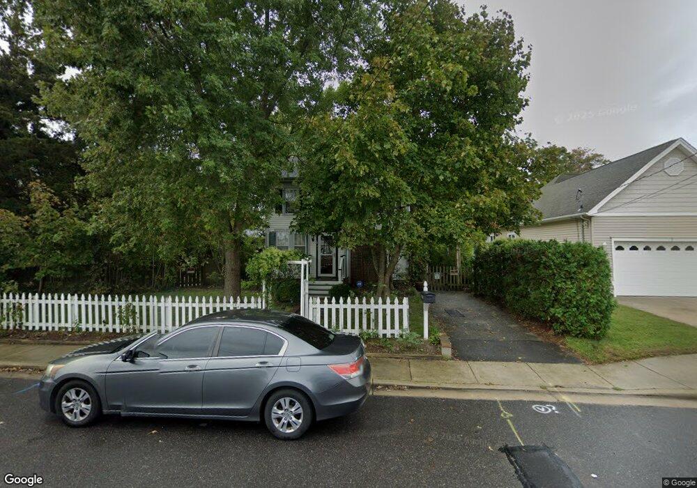
101 W Atlantic Ave Cape May Court House, NJ 08210
Estimated Value: $475,725 - $638,000
--
Bed
--
Bath
2,590
Sq Ft
$218/Sq Ft
Est. Value
About This Home
This home is located at 101 W Atlantic Ave, Cape May Court House, NJ 08210 and is currently estimated at $563,931, approximately $217 per square foot. 101 W Atlantic Ave is a home with nearby schools including Middle Township Elementary No. 1, Middle Township Elementary No. 2, and Middle Township Middle School.
Ownership History
Date
Name
Owned For
Owner Type
Purchase Details
Closed on
Jan 10, 2014
Sold by
Kershner Richard W and Palm Gene A
Bought by
Brown Robert N and Sissel Jan M
Current Estimated Value
Home Financials for this Owner
Home Financials are based on the most recent Mortgage that was taken out on this home.
Original Mortgage
$199,200
Outstanding Balance
$150,443
Interest Rate
4.4%
Mortgage Type
New Conventional
Estimated Equity
$413,488
Create a Home Valuation Report for This Property
The Home Valuation Report is an in-depth analysis detailing your home's value as well as a comparison with similar homes in the area
Home Values in the Area
Average Home Value in this Area
Purchase History
| Date | Buyer | Sale Price | Title Company |
|---|---|---|---|
| Brown Robert N | $249,000 | None Available |
Source: Public Records
Mortgage History
| Date | Status | Borrower | Loan Amount |
|---|---|---|---|
| Open | Brown Robert N | $199,200 |
Source: Public Records
Tax History Compared to Growth
Tax History
| Year | Tax Paid | Tax Assessment Tax Assessment Total Assessment is a certain percentage of the fair market value that is determined by local assessors to be the total taxable value of land and additions on the property. | Land | Improvement |
|---|---|---|---|---|
| 2025 | $5,218 | $247,400 | $127,500 | $119,900 |
| 2024 | $5,218 | $247,400 | $127,500 | $119,900 |
| 2023 | $5,087 | $247,400 | $127,500 | $119,900 |
| 2022 | $4,941 | $247,400 | $127,500 | $119,900 |
| 2021 | $4,822 | $247,400 | $127,500 | $119,900 |
| 2020 | $4,723 | $247,400 | $127,500 | $119,900 |
| 2019 | $4,602 | $247,400 | $127,500 | $119,900 |
| 2018 | $4,530 | $247,400 | $127,500 | $119,900 |
| 2017 | $4,438 | $247,400 | $127,500 | $119,900 |
| 2016 | $4,327 | $247,400 | $127,500 | $119,900 |
| 2015 | $4,295 | $247,400 | $127,500 | $119,900 |
| 2014 | $4,268 | $247,400 | $127,500 | $119,900 |
Source: Public Records
Map
Nearby Homes
- 310 Front St
- 215 S Boyd St
- 212 Shunpike Rd
- 220 Hand Ave
- 306 3rd St
- 105 E Atlantic Ave
- 144 Lee Ln Unit Front
- 5 Locust Ln
- 211 Colonial Ave
- 147 Lee Ln Unit 147
- 13 Poplar St
- 33 E Mechanic St
- 24 Church St
- 90 Wynndemere Ct
- 614 Route 9 S Unit 3
- 614 Route 9 S
- 104 Bay Breeze Blvd Unit 104
- 106 Bay Breeze Blvd Unit 106
- 26 Crest Rd
- 207 Bay Breeze Blvd Unit 9
- 107 W Atlantic Ave
- 103 W Atlantic Ave
- 403 S Boyd St
- 109 W Atlantic Ave
- 104 W Atlantic Ave
- 27 W Atlantic Ave
- 102 W Atlantic Ave
- 405 S Boyd St
- 108 W Atlantic Ave
- 25 W Atlantic Ave
- 111 W Atlantic Ave
- 407 S Boyd St
- 26 W Atlantic Ave
- 402 S Boyd St
- 101 School House Ln
- 113 W Atlantic Ave
- 103 School House Ln
- 109 School House Ln
- 24 W Atlantic Ave
- 23 W Atlantic Ave