101 W Point Dr Jacksonville, IL 62650
Estimated Value: $207,000 - $220,149
--
Bed
--
Bath
1,440
Sq Ft
$149/Sq Ft
Est. Value
About This Home
This home is located at 101 W Point Dr, Jacksonville, IL 62650 and is currently estimated at $214,287, approximately $148 per square foot. 101 W Point Dr is a home located in Morgan County with nearby schools including Jacksonville High School.
Ownership History
Date
Name
Owned For
Owner Type
Purchase Details
Closed on
Oct 27, 2010
Sold by
Gibbs Cynthia
Bought by
Gibbs Gordon
Current Estimated Value
Purchase Details
Closed on
May 3, 2005
Sold by
Johnson Hallard S
Bought by
Gibbs Cynthia M
Home Financials for this Owner
Home Financials are based on the most recent Mortgage that was taken out on this home.
Original Mortgage
$124,450
Outstanding Balance
$71,644
Interest Rate
7.5%
Mortgage Type
Adjustable Rate Mortgage/ARM
Estimated Equity
$142,643
Create a Home Valuation Report for This Property
The Home Valuation Report is an in-depth analysis detailing your home's value as well as a comparison with similar homes in the area
Home Values in the Area
Average Home Value in this Area
Purchase History
| Date | Buyer | Sale Price | Title Company |
|---|---|---|---|
| Gibbs Gordon | -- | None Available | |
| Gibbs Cynthia M | $131,000 | None Available |
Source: Public Records
Mortgage History
| Date | Status | Borrower | Loan Amount |
|---|---|---|---|
| Open | Gibbs Cynthia M | $124,450 |
Source: Public Records
Tax History Compared to Growth
Tax History
| Year | Tax Paid | Tax Assessment Tax Assessment Total Assessment is a certain percentage of the fair market value that is determined by local assessors to be the total taxable value of land and additions on the property. | Land | Improvement |
|---|---|---|---|---|
| 2024 | $3,991 | $66,580 | $6,670 | $59,910 |
| 2023 | $4,338 | $65,990 | $6,670 | $59,320 |
| 2022 | $4,016 | $60,760 | $6,670 | $54,090 |
| 2021 | $3,671 | $57,590 | $6,670 | $50,920 |
| 2020 | $3,403 | $52,560 | $6,670 | $45,890 |
| 2019 | $3,110 | $48,670 | $6,670 | $42,000 |
| 2018 | $3,048 | $49,090 | $7,600 | $41,490 |
| 2017 | $2,860 | $46,890 | $7,600 | $39,290 |
| 2016 | $2,728 | $44,660 | $7,240 | $37,420 |
| 2015 | $2,693 | $42,940 | $6,960 | $35,980 |
| 2014 | $2,693 | $42,510 | $6,890 | $35,620 |
| 2013 | $2,574 | $42,510 | $6,890 | $35,620 |
Source: Public Records
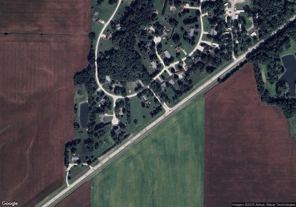
Map
Nearby Homes
- 1640 Old Highway 67
- 307 Westwinds Dr
- 400 Massey Ln
- 1672 Mount Zion Rd
- 1903 Mound Rd
- 1924 Cedar St
- 12 Newland Ln
- 1856 Plum St
- 1835 Mound Rd
- 510 S Westgate Ave
- 207 Mound Place
- 2 Valleyview Rd
- 414 S Westgate Ave
- 1815 Mound Rd
- 3 Ivywood Dr
- 1 Jones Place
- 33 Windrush Dr
- 17 Windrush Dr
- 1585 Gravel Springs Cir
- 8 Westfair Dr
- 201 Spring Bay Dr
- 102 Harbor Ct
- 203 Spring Bay Dr
- 106 W Point Dr
- 101 Cove Point
- 205 Spring Bay Dr
- 104 Harbor Ct
- 108 W Point Dr
- 103 Harbor Ct
- 207 Spring Bay Dr
- 102 Cove Point
- 103 Cove Point
- 209 Spring Bay Dr
- 105 Cove Point
- 104 Cove Point
- 211 Spring Bay Dr
- 210 Spring Bay Dr
- 112 W Point Dr
- 101 Loren Ln
- 214 Spring Bay Dr