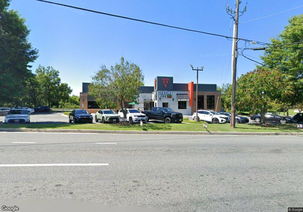
101 W Pulaski Hwy Elkton, MD 21921
Estimated Value: $1,771,215
--
Bed
--
Bath
4,616
Sq Ft
$384/Sq Ft
Est. Value
About This Home
This home is located at 101 W Pulaski Hwy, Elkton, MD 21921 and is currently estimated at $1,771,215, approximately $383 per square foot. 101 W Pulaski Hwy is a home located in Cecil County with nearby schools including Holly Hall Elementary School, Bohemia Manor Middle School, and Bohemia Manor High School.
Ownership History
Date
Name
Owned For
Owner Type
Purchase Details
Closed on
Apr 27, 2005
Sold by
Davco Restaurants Inc
Bought by
Halakos Properties Llc & and Cecil Pulaski Properties, Llc
Current Estimated Value
Purchase Details
Closed on
Apr 21, 2005
Sold by
Davco Restaurant Inc
Bought by
Halakos Properties Lllc and Cecil Pulaski Properties Llc
Purchase Details
Closed on
Sep 5, 1995
Sold by
North Oxford Laundromat Inc
Bought by
Davco Restaurants Inc
Purchase Details
Closed on
Apr 30, 1987
Sold by
Calotex Delaware Inc
Bought by
North Oxford Laundromat, Inc.
Home Financials for this Owner
Home Financials are based on the most recent Mortgage that was taken out on this home.
Original Mortgage
$240,000
Interest Rate
10.37%
Create a Home Valuation Report for This Property
The Home Valuation Report is an in-depth analysis detailing your home's value as well as a comparison with similar homes in the area
Home Values in the Area
Average Home Value in this Area
Purchase History
| Date | Buyer | Sale Price | Title Company |
|---|---|---|---|
| Halakos Properties Llc & | $1,070,000 | -- | |
| Halakos Properties Lllc | $1,070,000 | None Available | |
| Davco Restaurants Inc | $600,000 | -- | |
| North Oxford Laundromat, Inc. | $230,000 | -- |
Source: Public Records
Mortgage History
| Date | Status | Borrower | Loan Amount |
|---|---|---|---|
| Previous Owner | North Oxford Laundromat, Inc. | $240,000 |
Source: Public Records
Tax History Compared to Growth
Tax History
| Year | Tax Paid | Tax Assessment Tax Assessment Total Assessment is a certain percentage of the fair market value that is determined by local assessors to be the total taxable value of land and additions on the property. | Land | Improvement |
|---|---|---|---|---|
| 2025 | $25,805 | $1,491,600 | $0 | $0 |
| 2024 | $24,798 | $1,433,400 | $800,700 | $632,700 |
| 2023 | $24,828 | $1,426,900 | $0 | $0 |
| 2022 | $25,026 | $1,420,400 | $0 | $0 |
| 2021 | $24,523 | $1,413,900 | $800,700 | $613,200 |
| 2020 | $24,410 | $1,364,467 | $0 | $0 |
| 2019 | $23,526 | $1,315,033 | $0 | $0 |
| 2018 | $15,207 | $850,000 | $693,200 | $156,800 |
| 2017 | $17,516 | $979,100 | $0 | $0 |
| 2016 | $20,802 | $1,065,600 | $0 | $0 |
| 2015 | $20,802 | $1,232,100 | $0 | $0 |
| 2014 | $18,647 | $1,232,100 | $0 | $0 |
Source: Public Records
Map
Nearby Homes
- 17 Kent Rd
- 14 Kent Rd
- 1 Rene Carr St
- 0 W Main St Unit MDCC2016174
- 5 Thyme St
- 115 Milburn St
- 115 Bethel St
- 106 Normira Ave
- 114 Creswell Ave
- 12 Heather Ct
- 434 Buttonwoods Rd
- 430 Buttonwoods Rd
- 9 Kings Ct
- 255 Douglas St
- 4 Saint Pats Cir
- 134 Wesley St
- 0 E Pulaski Hwy
- 0 Delaware Ave Unit MDCC2018992
- 0 Delaware Ave Unit MDCC2009440
- 4043A Blue Ball Rd
- 99 W Pulaski Hwy
- 101 E Pulaski Hwy
- 8 S Bridge St
- 0 S Bridge St Unit 1000104949
- 0 S Bridge St Unit 1000105195
- 0 S Bridge St Unit 1006673386
- 0 S Bridge St Unit 1006673238
- 0 S Bridge St Unit 1000105149
- 0 S Bridge St
- 0 S Bridge St Unit MDCC173020
- 0 S Bridge St Unit 1000105209
- 110 W Pulaski Hwy
- 100 W Pulaski Hwy
- 224 S Bridge St
- 224A S Bridge St
- 103 E Pulaski Hwy
- 251 S Bridge St
- 100 E Pulaski Hwy
- 1 Augustine Herman Hwy
- 249 S Bridge St