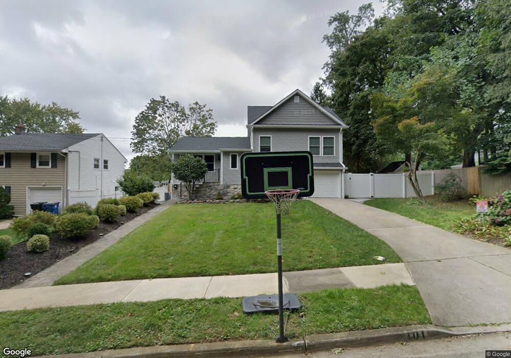
101 Walnut Ave Red Bank, NJ 07701
New Monmouth NeighborhoodEstimated Value: $674,489 - $724,000
3
Beds
2
Baths
1,544
Sq Ft
$453/Sq Ft
Est. Value
About This Home
This home is located at 101 Walnut Ave, Red Bank, NJ 07701 and is currently estimated at $699,122, approximately $452 per square foot. 101 Walnut Ave is a home located in Monmouth County with nearby schools including Fairview Elementary School, Bayshore Middle School, and Middletown High School North.
Ownership History
Date
Name
Owned For
Owner Type
Purchase Details
Closed on
Nov 3, 2008
Sold by
Anderson Urania
Bought by
Heaney Anne M
Current Estimated Value
Home Financials for this Owner
Home Financials are based on the most recent Mortgage that was taken out on this home.
Original Mortgage
$288,000
Outstanding Balance
$188,582
Interest Rate
6.03%
Mortgage Type
Purchase Money Mortgage
Estimated Equity
$510,540
Create a Home Valuation Report for This Property
The Home Valuation Report is an in-depth analysis detailing your home's value as well as a comparison with similar homes in the area
Home Values in the Area
Average Home Value in this Area
Purchase History
| Date | Buyer | Sale Price | Title Company |
|---|---|---|---|
| Heaney Anne M | $360,000 | Multiple |
Source: Public Records
Mortgage History
| Date | Status | Borrower | Loan Amount |
|---|---|---|---|
| Open | Heaney Anne M | $288,000 |
Source: Public Records
Tax History Compared to Growth
Tax History
| Year | Tax Paid | Tax Assessment Tax Assessment Total Assessment is a certain percentage of the fair market value that is determined by local assessors to be the total taxable value of land and additions on the property. | Land | Improvement |
|---|---|---|---|---|
| 2025 | $8,569 | $761,800 | $460,900 | $300,900 |
| 2024 | $6,474 | $520,900 | $378,400 | $142,500 |
| 2023 | $6,474 | $372,500 | $354,800 | $17,700 |
| 2022 | $7,900 | $471,100 | $329,000 | $142,100 |
| 2021 | $7,900 | $379,800 | $253,400 | $126,400 |
| 2020 | $7,750 | $362,500 | $239,000 | $123,500 |
| 2019 | $7,641 | $361,800 | $239,000 | $122,800 |
| 2018 | $7,123 | $328,700 | $211,600 | $117,100 |
| 2017 | $7,276 | $332,400 | $202,500 | $129,900 |
| 2016 | $7,015 | $329,200 | $202,500 | $126,700 |
| 2015 | $7,257 | $328,800 | $202,500 | $126,300 |
| 2014 | $6,968 | $307,900 | $182,500 | $125,400 |
Source: Public Records
Map
Nearby Homes
- 139 Statesir Place
- 37 Delaware Ave
- 839 Arthur Dr
- 39 Market St
- 833 Lincoln St
- 43 Roosevelt Cir W
- 79 Lake Shore Dr
- 44 Monroe St
- 8 Cherry St
- 51 Blossom Cove Rd
- 9 Wesleyan St
- 4 Breana Ct
- 46 Southall Ln
- 28 Todd Dr
- 152 Chapel Hill Rd
- 115 Hill Terrace
- 130 Bodman Place Unit 15
- 310 Cooper Rd Unit C
- 458 Navesink River Rd
- 31 Southall Ln
- 99 Walnut Ave
- 142 Frost Ave
- 107 Statesir Place
- 109 Statesir Place
- 134 Frost Ave
- 138 Frost Ave
- 111 Statesir Place
- 95 Walnut Ave
- 126 Frost Ave
- 113 Statesir Place
- 225 State Route 35 Unit Suite 206
- 225 State Route 35 Unit Suites 109-112
- 225 State Route 35
- 120 Frost Ave
- 93 Walnut Ave
- 141 Frost Ave
- 398 Conover Place
- 108 Statesir Place
- 110 Statesir Place
- 115 Statesir Place