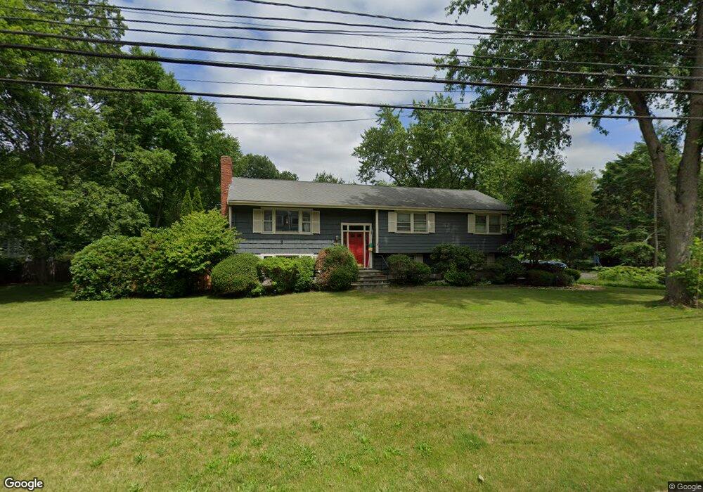
101 Walnut St Natick, MA 01760
Estimated Value: $1,000,932 - $1,213,000
3
Beds
3
Baths
2,456
Sq Ft
$444/Sq Ft
Est. Value
About This Home
This home is located at 101 Walnut St, Natick, MA 01760 and is currently estimated at $1,091,233, approximately $444 per square foot. 101 Walnut St is a home located in Middlesex County with nearby schools including Natick High School, Lilja Elementary School, and Wilson Middle School.
Ownership History
Date
Name
Owned For
Owner Type
Purchase Details
Closed on
Mar 23, 2024
Sold by
101 Walnut Street Rt and Bennett
Bought by
Bennett Jayne
Current Estimated Value
Purchase Details
Closed on
Dec 22, 2021
Sold by
Bennett John B and Bennett Jayne
Bought by
101 Walnut Street Rt and Bennett
Purchase Details
Closed on
Jan 5, 2004
Sold by
Hoyt Gary P and Hoyt Marcia M
Bought by
Bennett John B and Bennett Jayne
Home Financials for this Owner
Home Financials are based on the most recent Mortgage that was taken out on this home.
Original Mortgage
$310,000
Interest Rate
5.86%
Mortgage Type
Purchase Money Mortgage
Create a Home Valuation Report for This Property
The Home Valuation Report is an in-depth analysis detailing your home's value as well as a comparison with similar homes in the area
Home Values in the Area
Average Home Value in this Area
Purchase History
| Date | Buyer | Sale Price | Title Company |
|---|---|---|---|
| Bennett Jayne | -- | None Available | |
| 101 Walnut Street Rt | -- | None Available | |
| Bennett John B | $585,000 | -- |
Source: Public Records
Mortgage History
| Date | Status | Borrower | Loan Amount |
|---|---|---|---|
| Previous Owner | Bennett John B | $310,000 |
Source: Public Records
Tax History Compared to Growth
Tax History
| Year | Tax Paid | Tax Assessment Tax Assessment Total Assessment is a certain percentage of the fair market value that is determined by local assessors to be the total taxable value of land and additions on the property. | Land | Improvement |
|---|---|---|---|---|
| 2025 | $9,706 | $811,500 | $472,500 | $339,000 |
| 2024 | $9,410 | $767,500 | $446,300 | $321,200 |
| 2023 | $9,196 | $727,500 | $418,000 | $309,500 |
| 2022 | $8,922 | $668,800 | $379,600 | $289,200 |
| 2021 | $8,561 | $629,000 | $358,800 | $270,200 |
| 2020 | $8,348 | $613,400 | $343,200 | $270,200 |
| 2019 | $7,796 | $613,400 | $343,200 | $270,200 |
| 2018 | $7,488 | $573,800 | $312,000 | $261,800 |
| 2017 | $7,244 | $537,000 | $280,000 | $257,000 |
| 2016 | $6,679 | $492,200 | $265,000 | $227,200 |
| 2015 | $6,544 | $473,500 | $265,000 | $208,500 |
Source: Public Records
Map
Nearby Homes
- 41 Charles St
- 20 Florence St Unit B
- 12 Linden St
- 16 Harvard St
- 51 Highland St
- 2 Yuba Place
- 32 Harvard St
- 17 Harvard St
- 12 Bay State Rd
- 38 Washington St Unit 38
- 7 Jackson Ct Unit B
- 3 Vale St Unit B
- 27 2nd St
- 31 Marion St
- 49 Summer St
- 287 Bacon St
- 3 Wilson St Unit 3B
- 293 Bacon St Unit A
- 4B Lincoln St Unit 4B
- 3A Wilson St Unit 3A