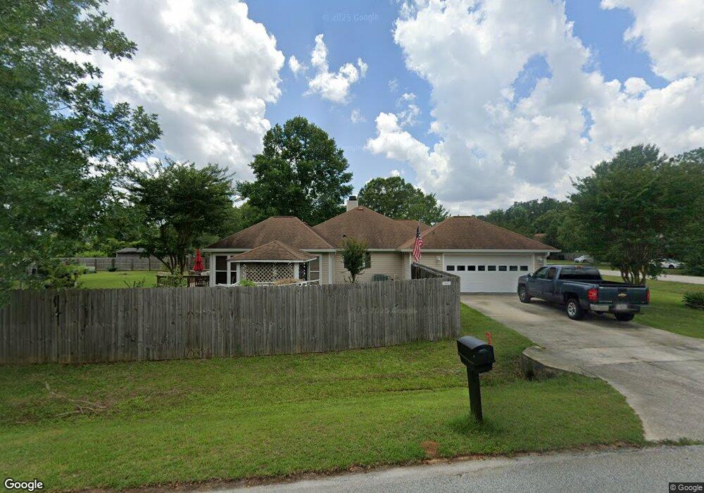
101 Wedgewood Dr Bonaire, GA 31005
Estimated Value: $255,000 - $312,000
3
Beds
2
Baths
1,828
Sq Ft
$151/Sq Ft
Est. Value
About This Home
This home is located at 101 Wedgewood Dr, Bonaire, GA 31005 and is currently estimated at $276,232, approximately $151 per square foot. 101 Wedgewood Dr is a home located in Houston County with nearby schools including Bonaire Elementary School, Bonaire Middle School, and Veterans High School.
Ownership History
Date
Name
Owned For
Owner Type
Purchase Details
Closed on
Apr 1, 2010
Sold by
Williams Eric C
Bought by
Lewis Kevin B
Current Estimated Value
Home Financials for this Owner
Home Financials are based on the most recent Mortgage that was taken out on this home.
Original Mortgage
$102,400
Outstanding Balance
$68,269
Interest Rate
5.02%
Mortgage Type
New Conventional
Estimated Equity
$207,963
Purchase Details
Closed on
Nov 8, 2002
Sold by
Coleman David L
Bought by
Williams Eric C
Purchase Details
Closed on
Sep 20, 1999
Bought by
Coleman David L
Create a Home Valuation Report for This Property
The Home Valuation Report is an in-depth analysis detailing your home's value as well as a comparison with similar homes in the area
Home Values in the Area
Average Home Value in this Area
Purchase History
| Date | Buyer | Sale Price | Title Company |
|---|---|---|---|
| Lewis Kevin B | $128,000 | None Available | |
| Williams Eric C | $114,000 | -- | |
| Coleman David L | $89,900 | -- |
Source: Public Records
Mortgage History
| Date | Status | Borrower | Loan Amount |
|---|---|---|---|
| Open | Lewis Kevin B | $102,400 |
Source: Public Records
Tax History Compared to Growth
Tax History
| Year | Tax Paid | Tax Assessment Tax Assessment Total Assessment is a certain percentage of the fair market value that is determined by local assessors to be the total taxable value of land and additions on the property. | Land | Improvement |
|---|---|---|---|---|
| 2024 | $1,785 | $74,640 | $9,000 | $65,640 |
| 2023 | $1,384 | $57,280 | $9,000 | $48,280 |
| 2022 | $1,287 | $53,240 | $9,000 | $44,240 |
| 2021 | $1,206 | $49,640 | $9,000 | $40,640 |
| 2020 | $1,201 | $49,200 | $9,000 | $40,200 |
| 2019 | $1,201 | $49,200 | $9,000 | $40,200 |
| 2018 | $1,201 | $49,200 | $9,000 | $40,200 |
| 2017 | $1,202 | $49,200 | $9,000 | $40,200 |
| 2016 | $1,204 | $49,200 | $9,000 | $40,200 |
| 2015 | $1,206 | $49,200 | $9,000 | $40,200 |
| 2014 | -- | $49,200 | $9,000 | $40,200 |
| 2013 | -- | $49,200 | $9,000 | $40,200 |
Source: Public Records
Map
Nearby Homes
- 506 Toccoa Ct
- 507 Toccoa Ct
- Brunswick Plan at Riverbend North
- Grayson Plan at Riverbend North
- 508 Toccoa Ct
- Sullivan Plan at Riverbend North
- Camden Plan at Riverbend North
- 500 Greenview Ct
- 204 Flat Shoal Dr
- 206 Flat Shoal Dr
- 207 Wedgewood Dr
- 102 Waterford Dr
- 224 Flat Shoal Dr
- 226 Flat Shoal Dr
- 2001 Pin Oak Terrace
- 642 McCarley Downs Dr
- Belmont Plan at Magnolia Flats
- Delilah Plan at Magnolia Flats
- Harrison Plan at Magnolia Flats
- Hawthorne Plan at Magnolia Flats
- 102 Lenox Dr
- 000 Lenox Dr
- 103 Wedgewood Dr
- 108 Lenox Dr
- 107 Lenox Dr
- 105 Lenox Dr
- 105 Wedgewood Dr
- 104 Wedgewood Dr
- 109 Lenox Dr
- 538 Thompson Mill Rd
- 536 Thompson Mill Rd
- 110 Lenox Dr
- 103 Lenox Dr
- 540 Thompson Mill Rd
- 111 Lenox Dr
- 108 Wedgewood Dr
- 534 Thompson Mill Rd
- 107 Wedgewood Dr
- 542 Thompson Mill Rd
- 113 Lenox Dr