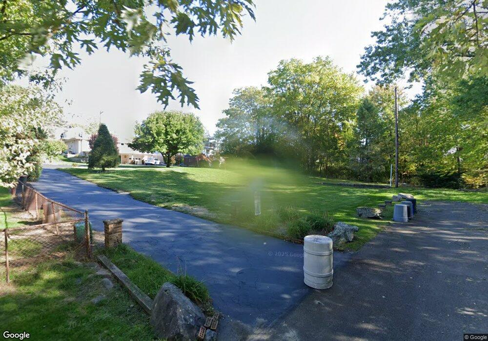
101 White St Dupont, PA 18641
Estimated Value: $250,000
--
Bed
--
Bath
920
Sq Ft
$272/Sq Ft
Est. Value
About This Home
This home is located at 101 White St, Dupont, PA 18641 and is currently estimated at $250,000, approximately $271 per square foot. 101 White St is a home located in Luzerne County with nearby schools including Pittston City Intermediate Center, Pittston Area Middle School, and Frederick County Middle School.
Ownership History
Date
Name
Owned For
Owner Type
Purchase Details
Closed on
Sep 26, 2023
Sold by
Slonina Louis J
Bought by
Michalene Lyons Irrevocable Personal Residenc and Lyons
Current Estimated Value
Purchase Details
Closed on
Mar 29, 2023
Sold by
Lyons Michalene L
Bought by
Michalene Lyons Irrevocable Personal Residenc
Purchase Details
Closed on
Mar 28, 2023
Sold by
Lyons Michalene L
Bought by
Lyons Michalene L
Purchase Details
Closed on
Aug 18, 1987
Bought by
Slonina Louis
Create a Home Valuation Report for This Property
The Home Valuation Report is an in-depth analysis detailing your home's value as well as a comparison with similar homes in the area
Home Values in the Area
Average Home Value in this Area
Purchase History
| Date | Buyer | Sale Price | Title Company |
|---|---|---|---|
| Michalene Lyons Irrevocable Personal Residenc | -- | None Listed On Document | |
| Michalene Lyons Irrevocable Personal Residenc | -- | None Listed On Document | |
| Lyons Michalene L | -- | None Listed On Document | |
| Slonina Louis | -- | -- |
Source: Public Records
Tax History Compared to Growth
Tax History
| Year | Tax Paid | Tax Assessment Tax Assessment Total Assessment is a certain percentage of the fair market value that is determined by local assessors to be the total taxable value of land and additions on the property. | Land | Improvement |
|---|---|---|---|---|
| 2025 | $364 | $14,800 | $14,800 | $0 |
| 2024 | $364 | $14,800 | $14,800 | $0 |
| 2023 | $364 | $14,800 | $14,800 | $0 |
| 2022 | $362 | $14,800 | $14,800 | $0 |
| 2021 | $362 | $14,800 | $14,800 | $0 |
| 2020 | $1,332 | $55,800 | $14,800 | $41,000 |
| 2019 | $1,321 | $55,800 | $14,800 | $41,000 |
| 2018 | $1,294 | $55,800 | $14,800 | $41,000 |
| 2017 | $1,237 | $55,800 | $14,800 | $41,000 |
| 2016 | -- | $55,800 | $14,800 | $41,000 |
| 2015 | $934 | $55,800 | $14,800 | $41,000 |
| 2014 | $934 | $55,800 | $14,800 | $41,000 |
Source: Public Records
Map
Nearby Homes