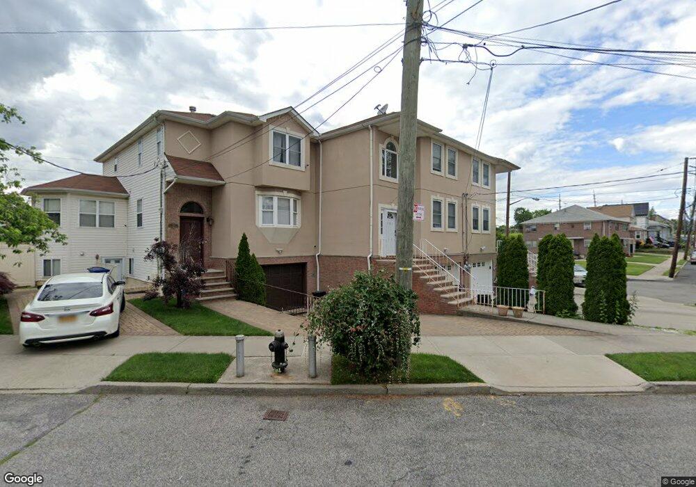
101 Whitney Ave Staten Island, NY 10305
Grasmere NeighborhoodEstimated Value: $768,930 - $931,000
3
Beds
2
Baths
1,600
Sq Ft
$523/Sq Ft
Est. Value
About This Home
This home is located at 101 Whitney Ave, Staten Island, NY 10305 and is currently estimated at $836,733, approximately $522 per square foot. 101 Whitney Ave is a home located in Richmond County with nearby schools including P.S. 48 - William C. Wilcox, I.S. 49 Berta A Dreyfus, and Curtis High School.
Ownership History
Date
Name
Owned For
Owner Type
Purchase Details
Closed on
Jul 31, 2002
Sold by
Maria Elena Corp
Bought by
Lam Louis W and Lam Jessica Y L
Current Estimated Value
Home Financials for this Owner
Home Financials are based on the most recent Mortgage that was taken out on this home.
Original Mortgage
$269,900
Interest Rate
6.24%
Mortgage Type
Purchase Money Mortgage
Create a Home Valuation Report for This Property
The Home Valuation Report is an in-depth analysis detailing your home's value as well as a comparison with similar homes in the area
Home Values in the Area
Average Home Value in this Area
Purchase History
| Date | Buyer | Sale Price | Title Company |
|---|---|---|---|
| Lam Louis W | $304,099 | Fidelity Natl Title Ins Co N |
Source: Public Records
Mortgage History
| Date | Status | Borrower | Loan Amount |
|---|---|---|---|
| Previous Owner | Lam Louis W | $269,900 |
Source: Public Records
Tax History Compared to Growth
Tax History
| Year | Tax Paid | Tax Assessment Tax Assessment Total Assessment is a certain percentage of the fair market value that is determined by local assessors to be the total taxable value of land and additions on the property. | Land | Improvement |
|---|---|---|---|---|
| 2025 | $7,853 | $51,900 | $6,372 | $45,528 |
| 2024 | $5,501 | $55,380 | $5,880 | $49,500 |
| 2023 | $7,555 | $38,600 | $6,071 | $32,529 |
| 2022 | $6,983 | $41,640 | $8,040 | $33,600 |
| 2021 | $6,927 | $39,300 | $8,040 | $31,260 |
| 2020 | $6,960 | $43,440 | $8,040 | $35,400 |
| 2019 | $6,767 | $41,040 | $8,040 | $33,000 |
| 2018 | $6,260 | $32,167 | $7,656 | $24,511 |
| 2017 | $5,887 | $30,347 | $7,544 | $22,803 |
| 2016 | $5,414 | $28,630 | $7,878 | $20,752 |
| 2015 | $5,092 | $28,566 | $6,679 | $21,887 |
| 2014 | $5,092 | $28,125 | $6,576 | $21,549 |
Source: Public Records
Map
Nearby Homes
- 69 Fayette Ave
- 25 Marie St
- 23 Marie St
- 39 Winfield Ave
- 98 N Railroad Ave
- 84 Sheridan Ave
- 81 Providence St
- 21 Norway Ave
- 66 Normalee Rd
- 63 Gateway Dr Unit 172
- 4 Mccormick Place
- 25 Mallory Ave
- 164 Stonegate Dr
- 89 Columbus Ave
- 22 Scranton St
- 4 Sheridan Ave
- 44 Quintard St
- 62 Columbus Ave
- 31 Alan Loop Unit 65
- 185 Radcliff Rd
- 48 Parkinson Ave
- 103 Whitney Ave
- 50 Parkinson Ave
- 50 Whitney Ave
- 52 Parkinson Ave
- 45 Marie St
- 27 Parkinson Ave
- 70 Whitney Ave
- 54 Parkinson Ave
- 88 Whitney Ave
- 53 Parkinson Ave
- 56 Parkinson Ave
- 58 Parkinson Ave
- 36 Marie St
- 39 Marie St
- 62 Parkinson Ave
- 57 Parkinson Ave
- 35 Marie St
- 32 Marie St
- 33 Marie St