Estimated Value: $531,000 - $645,000
3
Beds
2
Baths
1,700
Sq Ft
$355/Sq Ft
Est. Value
About This Home
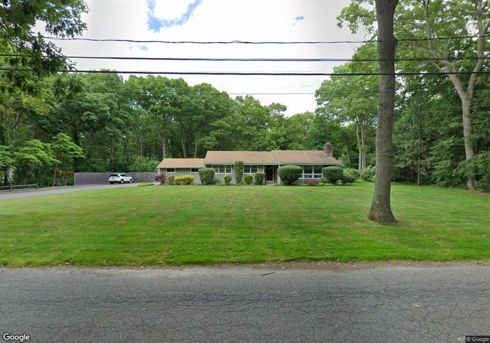
This home is located at 101 Woodlot Rd, Ridge, NY 11961 and is currently estimated at $603,740, approximately $355 per square foot. 101 Woodlot Rd is a home located in Suffolk County with nearby schools including Longwood Junior High School, Longwood Middle School, and Longwood Senior High School.
Ownership History
Date
Name
Owned For
Owner Type
Purchase Details
Closed on
Feb 2, 2015
Sold by
Botta Frances and Botta David
Bought by
Furey John T and Amador Allison
Current Estimated Value
Home Financials for this Owner
Home Financials are based on the most recent Mortgage that was taken out on this home.
Original Mortgage
$275,500
Interest Rate
3.9%
Mortgage Type
New Conventional
Purchase Details
Closed on
May 14, 2007
Sold by
Cartus Financial Corporat Ion
Bought by
Botta Frances
Purchase Details
Closed on
Feb 8, 1999
Sold by
Wilson William and Wilson Joan D
Bought by
Ollari Donald L and Ollari Lisa A
Home Financials for this Owner
Home Financials are based on the most recent Mortgage that was taken out on this home.
Original Mortgage
$145,750
Interest Rate
6.75%
Mortgage Type
VA
Create a Home Valuation Report for This Property
The Home Valuation Report is an in-depth analysis detailing your home's value as well as a comparison with similar homes in the area
Home Values in the Area
Average Home Value in this Area
Purchase History
| Date | Buyer | Sale Price | Title Company |
|---|---|---|---|
| Furey John T | $290,000 | None Available | |
| Botta Frances | $389,000 | -- | |
| Cartus Financial Corporat Ion | $389,000 | -- | |
| Ollari Donald L | $171,500 | Stewart Title Insurance Co |
Source: Public Records
Mortgage History
| Date | Status | Borrower | Loan Amount |
|---|---|---|---|
| Previous Owner | Furey John T | $275,500 | |
| Previous Owner | Ollari Donald L | $145,750 |
Source: Public Records
Tax History Compared to Growth
Tax History
| Year | Tax Paid | Tax Assessment Tax Assessment Total Assessment is a certain percentage of the fair market value that is determined by local assessors to be the total taxable value of land and additions on the property. | Land | Improvement |
|---|---|---|---|---|
| 2024 | $11,527 | $2,590 | $150 | $2,440 |
| 2023 | $11,527 | $2,590 | $150 | $2,440 |
| 2022 | $9,474 | $2,590 | $150 | $2,440 |
| 2021 | $9,474 | $2,590 | $150 | $2,440 |
| 2020 | $9,691 | $2,590 | $150 | $2,440 |
| 2019 | $9,691 | $0 | $0 | $0 |
| 2018 | $9,063 | $2,590 | $150 | $2,440 |
| 2017 | $9,063 | $2,590 | $150 | $2,440 |
| 2016 | $8,967 | $2,590 | $150 | $2,440 |
| 2015 | -- | $2,590 | $150 | $2,440 |
| 2014 | -- | $2,725 | $150 | $2,575 |
Source: Public Records
Map
Nearby Homes
- 116 Raynor Rd
- 503 Lancaster Ct
- 305 Torquay Ct
- 2405 (Lot 5) Brickyard Rd
- 0 Elizabeth Way Unit KEY803253
- Lot 39 Fox Run Ct
- 407 Belfast Ln
- 310 Woodbridge Dr
- 269 Berwick Ct Unit B
- 329 Woodbridge Dr Unit A
- 268 Berwick Ct Unit 268A
- 202 Belfast Ln
- 289 Cardiff Ct Unit B
- 205 Haddon Hollow Ct
- 8 Marc Dr
- 280 Berwick Ct Unit A
- 234 Ivy Meadow Ct
- 2 Kingston Dr
- 160 Laurance Ln
- 350 Woodbridge Dr Unit 350B