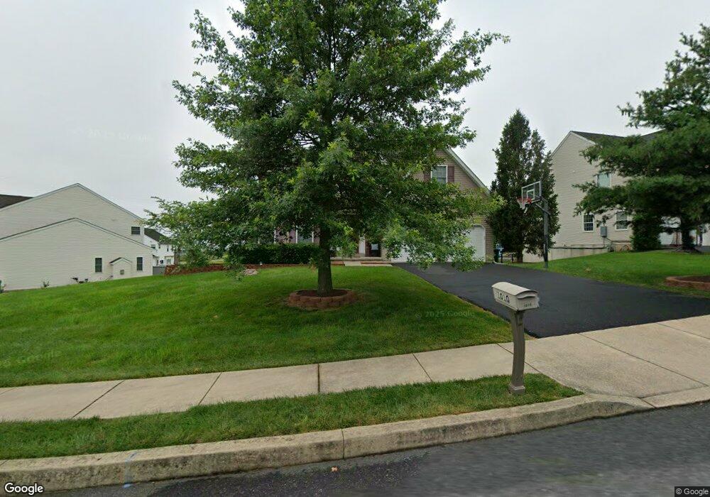
1010 Addison Ln Souderton, PA 18964
Estimated Value: $791,000 - $860,569
4
Beds
3
Baths
3,749
Sq Ft
$220/Sq Ft
Est. Value
About This Home
This home is located at 1010 Addison Ln, Souderton, PA 18964 and is currently estimated at $823,892, approximately $219 per square foot. 1010 Addison Ln is a home located in Montgomery County with nearby schools including Walton Farm El School, Pennfield Middle School, and North Penn Senior High School.
Ownership History
Date
Name
Owned For
Owner Type
Purchase Details
Closed on
Jul 9, 2020
Sold by
Cherian Binny and Cherian Mercy
Bought by
Cherian Binny and Cherian Mercy
Current Estimated Value
Home Financials for this Owner
Home Financials are based on the most recent Mortgage that was taken out on this home.
Original Mortgage
$269,500
Outstanding Balance
$238,975
Interest Rate
3.1%
Mortgage Type
New Conventional
Estimated Equity
$584,917
Purchase Details
Closed on
Jun 27, 2008
Sold by
Th Prop
Bought by
Cherian Binny and Thomas Mercy
Home Financials for this Owner
Home Financials are based on the most recent Mortgage that was taken out on this home.
Original Mortgage
$417,000
Interest Rate
6.13%
Create a Home Valuation Report for This Property
The Home Valuation Report is an in-depth analysis detailing your home's value as well as a comparison with similar homes in the area
Home Values in the Area
Average Home Value in this Area
Purchase History
| Date | Buyer | Sale Price | Title Company |
|---|---|---|---|
| Cherian Binny | -- | None Available | |
| Cherian Binny | $451,401 | None Available |
Source: Public Records
Mortgage History
| Date | Status | Borrower | Loan Amount |
|---|---|---|---|
| Open | Cherian Binny | $269,500 | |
| Closed | Cherian Binny | $417,000 |
Source: Public Records
Tax History Compared to Growth
Tax History
| Year | Tax Paid | Tax Assessment Tax Assessment Total Assessment is a certain percentage of the fair market value that is determined by local assessors to be the total taxable value of land and additions on the property. | Land | Improvement |
|---|---|---|---|---|
| 2025 | $9,267 | $231,470 | -- | -- |
| 2024 | $9,267 | $231,470 | -- | -- |
| 2023 | $8,870 | $231,470 | $0 | $0 |
| 2022 | $8,581 | $231,470 | $0 | $0 |
| 2021 | $8,337 | $231,470 | $0 | $0 |
| 2020 | $8,140 | $231,470 | $0 | $0 |
| 2019 | $8,004 | $231,470 | $0 | $0 |
| 2018 | $8,005 | $231,470 | $0 | $0 |
| 2017 | $7,698 | $231,470 | $0 | $0 |
| 2016 | $7,609 | $231,470 | $0 | $0 |
| 2015 | $7,146 | $226,470 | $0 | $0 |
| 2014 | $7,146 | $226,470 | $0 | $0 |
Source: Public Records
Map
Nearby Homes
- 3113 Arbour Green Ct
- 701 Quail Cir
- 635 Elroy Rd
- 829 Alexander Dr
- 103 Allentown Rd
- 2821 N Ford Dr
- 2805 N Ford Dr
- 708 Finlay Dr
- 723 Finlay Dr
- 1520 Fairgrounds Rd
- 510 Berkshire Dr
- 2921 Cowpath Rd
- 2801 Denbeigh Dr
- 2031 Oak Ave
- 2713 Beech St
- 2045 Pleasant Valley Dr
- 1095 Owen Ln
- 302 W Broad St
- 142 Orchard Ln
- 24 S Wayne Ave
- 1012 Addison Ln
- 1008 Addison Ln
- 1007 Grayson Dr
- 1006 Addison Ln
- 538 Grayson Dr
- 520 Grayson Dr
- 1005 Grayson Dr
- 1008 Grayson Dr
- 1010 Grayson Dr
- 1006 Grayson Dr
- 1011 Addison Ln
- 1003 Grayson Dr
- 1004 Grayson Dr
- 1022 Grayson Dr
- 1002 Grayson Dr
- 1001 Grayson Dr
- 1024 Grayson Dr
- 1000 Grayson Dr
- 1026 Grayson Dr
- 1028 Grayson Dr