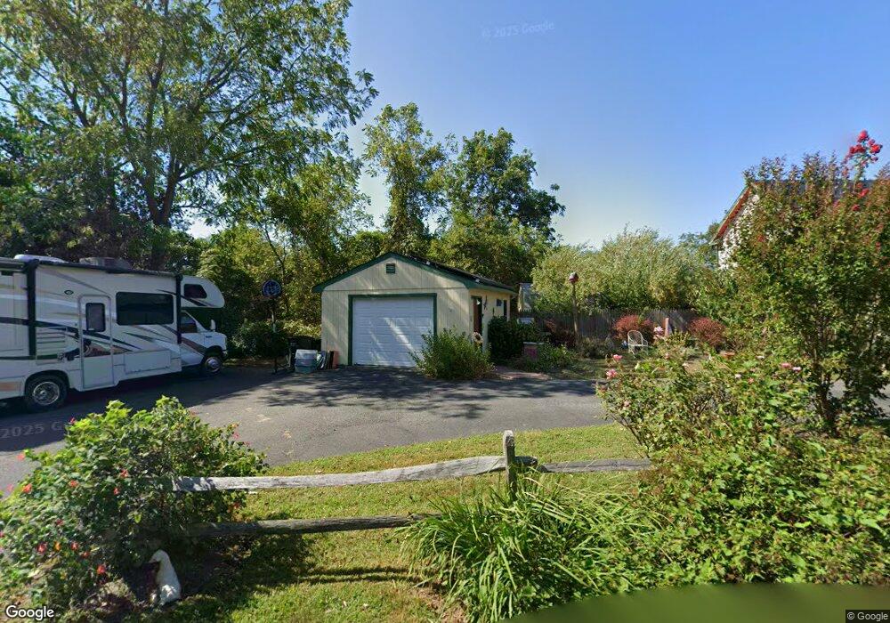
1010 Batts Ln Cape May, NJ 08204
Estimated Value: $976,686 - $1,268,000
--
Bed
--
Bath
2,190
Sq Ft
$506/Sq Ft
Est. Value
About This Home
This home is located at 1010 Batts Ln, Cape May, NJ 08204 and is currently estimated at $1,107,672, approximately $505 per square foot. 1010 Batts Ln is a home located in Cape May County with nearby schools including Carl T. Mitnick School, David C. Douglass Veterans Memorial School, and Maud Abrams School.
Ownership History
Date
Name
Owned For
Owner Type
Purchase Details
Closed on
Nov 20, 2009
Sold by
Meehan Peter J and Meehan Peter
Bought by
Meehan Peter J and Meehan Cassandra
Current Estimated Value
Purchase Details
Closed on
Apr 22, 1993
Sold by
Dobryest Of Ella Et Al
Bought by
Township Of Lower
Create a Home Valuation Report for This Property
The Home Valuation Report is an in-depth analysis detailing your home's value as well as a comparison with similar homes in the area
Home Values in the Area
Average Home Value in this Area
Purchase History
| Date | Buyer | Sale Price | Title Company |
|---|---|---|---|
| Meehan Peter J | -- | None Available | |
| Township Of Lower | -- | -- |
Source: Public Records
Tax History Compared to Growth
Tax History
| Year | Tax Paid | Tax Assessment Tax Assessment Total Assessment is a certain percentage of the fair market value that is determined by local assessors to be the total taxable value of land and additions on the property. | Land | Improvement |
|---|---|---|---|---|
| 2025 | $9,968 | $491,500 | $236,000 | $255,500 |
| 2024 | $9,968 | $491,500 | $236,000 | $255,500 |
| 2023 | $9,825 | $491,500 | $236,000 | $255,500 |
| 2022 | $9,525 | $491,500 | $236,000 | $255,500 |
| 2021 | $9,197 | $491,500 | $236,000 | $255,500 |
| 2020 | $9,093 | $491,500 | $236,000 | $255,500 |
| 2019 | $8,867 | $491,500 | $236,000 | $255,500 |
| 2018 | $8,655 | $491,500 | $236,000 | $255,500 |
| 2017 | $8,665 | $491,500 | $236,000 | $255,500 |
| 2016 | $8,532 | $491,500 | $236,000 | $255,500 |
| 2015 | $8,257 | $491,500 | $236,000 | $255,500 |
| 2014 | $7,987 | $491,500 | $236,000 | $255,500 |
Source: Public Records
Map
Nearby Homes
- 1023 Shunpike Rd
- 1024 Shunpike Rd
- 1031 Seashore Rd
- 1036 Seashore Rd
- 3941 Bayshore Rd
- 1062 Seashore Rd
- 313 Nantucket Dr
- 1083 Seashore Rd
- 424 Portsmouth Rd
- 3911 Bayshore Rd
- 753 Route 9 Unit U
- 818 Shunpike Rd
- 808 Westfield Ave
- 59 Westwood Dr
- 123 Stimpson Ln
- 605 Bayshore Rd
- 668 Crawford Rd
- 712 Gorham Ave
- 1204 Wilson Dr Unit 1st Floor
- 1204 Wilson Dr Unit 1st
- 1008 Batts Ln
- 1002 Batts Ln
- 1002 Batts Ln
- 1012 Batts Ln
- 1006 Batts Ln
- 712 New England Rd
- 1016 Batts Ln
- 1013 Batts Ln
- 1009 Batts Ln
- 1018 Batts Ln
- 720 New England Rd Unit 722
- 1015 Batts Ln
- 724 New England Rd
- 1004 Batts Ln
- 718 New England Rd
- 710A New England Rd
- 710 New England Rd
- 1020 Batts Ln
- 1005 Batts Ln
- 1019 Batts Ln