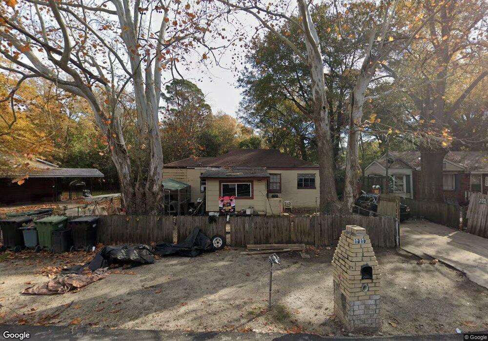
1010 Brooks Rd Columbus, GA 31903
South Columbus NeighborhoodEstimated Value: $44,000 - $56,523
3
Beds
2
Baths
1,142
Sq Ft
$43/Sq Ft
Est. Value
About This Home
This home is located at 1010 Brooks Rd, Columbus, GA 31903 and is currently estimated at $49,381, approximately $43 per square foot. 1010 Brooks Rd is a home located in Muscogee County with nearby schools including Dorothy Height Elementary School, Baker Middle School, and Spencer High School.
Ownership History
Date
Name
Owned For
Owner Type
Purchase Details
Closed on
Dec 28, 2018
Sold by
Hodge James Curtis
Bought by
Hodge Terrell D
Current Estimated Value
Purchase Details
Closed on
Sep 5, 2018
Sold by
Williams Christopher
Bought by
Hodge James Curtis
Purchase Details
Closed on
Oct 22, 2013
Sold by
Cbna Ga Llc
Bought by
Williams Shanequa and Williams Christopher
Purchase Details
Closed on
Sep 29, 2012
Sold by
Smith Patricia J
Bought by
Certusbank
Create a Home Valuation Report for This Property
The Home Valuation Report is an in-depth analysis detailing your home's value as well as a comparison with similar homes in the area
Home Values in the Area
Average Home Value in this Area
Purchase History
| Date | Buyer | Sale Price | Title Company |
|---|---|---|---|
| Hodge Terrell D | -- | -- | |
| Hodge James Curtis | $7,000 | -- | |
| Williams Shanequa | $7,000 | -- | |
| Certusbank | $116,500 | -- |
Source: Public Records
Tax History
| Year | Tax Paid | Tax Assessment Tax Assessment Total Assessment is a certain percentage of the fair market value that is determined by local assessors to be the total taxable value of land and additions on the property. | Land | Improvement |
|---|---|---|---|---|
| 2025 | $4,254 | $16,744 | $4,132 | $12,612 |
| 2024 | $3,286 | $16,744 | $4,132 | $12,612 |
| 2023 | $660 | $16,744 | $4,132 | $12,612 |
| 2022 | $700 | $17,136 | $4,132 | $13,004 |
| 2021 | $737 | $16,116 | $4,132 | $11,984 |
| 2020 | $658 | $16,116 | $4,132 | $11,984 |
| 2019 | $115 | $2,800 | $680 | $2,120 |
| 2018 | $586 | $14,292 | $4,132 | $10,160 |
| 2017 | $591 | $14,292 | $4,132 | $10,160 |
| 2016 | $349 | $8,465 | $1,656 | $6,809 |
| 2015 | $90 | $5,462 | $1,656 | $3,806 |
| 2014 | $116 | $2,800 | $1,656 | $1,144 |
| 2013 | $369 | $8,915 | $1,656 | $7,259 |
Source: Public Records
Map
Nearby Homes
Your Personal Tour Guide
Ask me questions while you tour the home.