1010 Brookshire Ct Bogart, GA 30622
Estimated Value: $469,972 - $515,000
4
Beds
3
Baths
2,296
Sq Ft
$214/Sq Ft
Est. Value
About This Home
This home is located at 1010 Brookshire Ct, Bogart, GA 30622 and is currently estimated at $490,743, approximately $213 per square foot. 1010 Brookshire Ct is a home located in Oconee County with nearby schools including Rocky Branch Elementary School, Malcom Bridge Middle School, and North Oconee High School.
Ownership History
Date
Name
Owned For
Owner Type
Purchase Details
Closed on
Jan 3, 2019
Sold by
Harrington Donna M
Bought by
Tuley Terry E and Tuley Marica A
Current Estimated Value
Home Financials for this Owner
Home Financials are based on the most recent Mortgage that was taken out on this home.
Original Mortgage
$225,783
Interest Rate
4.7%
Mortgage Type
Commercial
Purchase Details
Closed on
Oct 12, 2010
Sold by
Powers Grace M
Bought by
Harrington Donna M
Purchase Details
Closed on
Dec 10, 2008
Sold by
Bank Of Madison
Bought by
Powers Grace M and Harrington Donna M
Create a Home Valuation Report for This Property
The Home Valuation Report is an in-depth analysis detailing your home's value as well as a comparison with similar homes in the area
Home Values in the Area
Average Home Value in this Area
Purchase History
| Date | Buyer | Sale Price | Title Company |
|---|---|---|---|
| Tuley Terry E | $279,900 | -- | |
| Harrington Donna M | -- | -- | |
| Powers Grace M | $205,000 | -- |
Source: Public Records
Mortgage History
| Date | Status | Borrower | Loan Amount |
|---|---|---|---|
| Closed | Tuley Terry E | $225,783 |
Source: Public Records
Tax History Compared to Growth
Tax History
| Year | Tax Paid | Tax Assessment Tax Assessment Total Assessment is a certain percentage of the fair market value that is determined by local assessors to be the total taxable value of land and additions on the property. | Land | Improvement |
|---|---|---|---|---|
| 2024 | $2,814 | $160,441 | $24,000 | $136,441 |
| 2023 | $2,998 | $148,745 | $20,000 | $128,745 |
| 2022 | $2,821 | $131,478 | $20,000 | $111,478 |
| 2021 | $2,674 | $115,515 | $12,000 | $103,515 |
| 2020 | $2,500 | $107,842 | $12,000 | $95,842 |
| 2019 | $2,342 | $101,027 | $12,000 | $89,027 |
| 2018 | $2,362 | $99,723 | $12,000 | $87,723 |
| 2017 | $2,113 | $89,188 | $12,000 | $77,188 |
| 2016 | $1,991 | $84,059 | $12,000 | $72,059 |
| 2015 | $1,879 | $79,176 | $12,000 | $67,176 |
| 2014 | $1,701 | $70,042 | $12,000 | $58,042 |
| 2013 | -- | $64,035 | $12,000 | $52,035 |
Source: Public Records
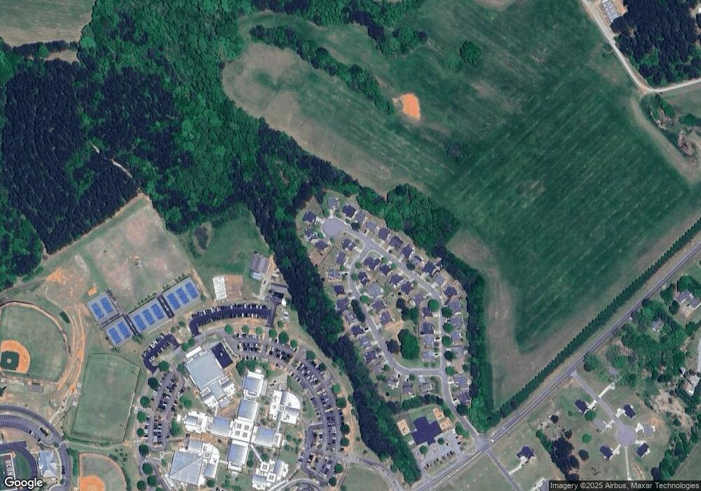
Map
Nearby Homes
- 1224 Malcom Estates Point Lot: 67
- 1491 Virgil Langford Rd
- 0 Clotfelter Rd Unit 1025303
- 1496 Malcom Estates Dr
- 1224 Malcom Estates Point Unit Lot 67
- 0 Us 53 Hwy Unit 10376334
- 2163 Heather Ln
- 2548 E Princeton Dr
- 2082 Wade Dr
- 2934 Horseshoe Bend Ln
- 1691 Snows Mill Rd
- 1381 Mayfair Way
- 2165 Harperfield Dr
- 3065 Brookhaven Dr
- 1105 Harperfield Dr
- 1895 Vintage Place
- 1021 Bedford Trail
- 1020 Brookshire Ct
- 1510 Brookshire Dr
- 1181 Brookshire Dr
- 1170 Brookshire Dr
- 1160 Brookshire Dr
- 1141 Brookshire Dr
- 1030 Brookshire Ct
- 1180 Brookshire Dr
- 1150 Brookshire Dr
- 1191 Brookshire Dr
- 1031 Brookshire Ct
- 1131 Brookshire Dr
- 1190 Brookshire Dr
- 1040 Brookshire Ct
- 1201 Brookshire Dr
- 1140 Brookshire Dr
- 1051 Brookshire Ct
- 1130 Brookshire Dr
- 1050 Brookshire Ct
- 1121 Brookshire Dr