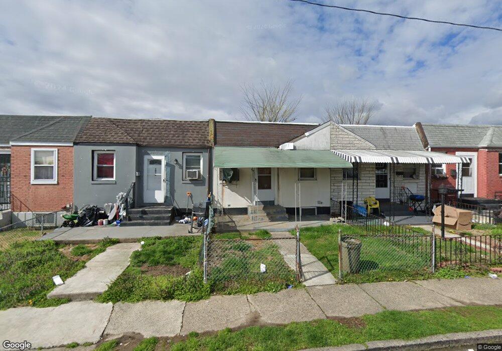
1010 Burnside Rd Sharon Hill, PA 19079
Estimated Value: $96,000 - $116,000
2
Beds
1
Bath
655
Sq Ft
$156/Sq Ft
Est. Value
About This Home
This home is located at 1010 Burnside Rd, Sharon Hill, PA 19079 and is currently estimated at $102,175, approximately $155 per square foot. 1010 Burnside Rd is a home located in Delaware County with nearby schools including Darby Township School, Academy Park High School, and Liberty Baptist Academy.
Ownership History
Date
Name
Owned For
Owner Type
Purchase Details
Closed on
Apr 16, 2001
Sold by
Frymaire Dianna M
Bought by
Frymaire Russell R and Frymaire Dianna M
Current Estimated Value
Home Financials for this Owner
Home Financials are based on the most recent Mortgage that was taken out on this home.
Original Mortgage
$36,000
Interest Rate
6.9%
Mortgage Type
Balloon
Create a Home Valuation Report for This Property
The Home Valuation Report is an in-depth analysis detailing your home's value as well as a comparison with similar homes in the area
Home Values in the Area
Average Home Value in this Area
Purchase History
| Date | Buyer | Sale Price | Title Company |
|---|---|---|---|
| Frymaire Russell R | -- | Commonwealth Land Title Ins |
Source: Public Records
Mortgage History
| Date | Status | Borrower | Loan Amount |
|---|---|---|---|
| Closed | Frymaire Russell R | $36,000 |
Source: Public Records
Tax History Compared to Growth
Tax History
| Year | Tax Paid | Tax Assessment Tax Assessment Total Assessment is a certain percentage of the fair market value that is determined by local assessors to be the total taxable value of land and additions on the property. | Land | Improvement |
|---|---|---|---|---|
| 2025 | $2,331 | $52,600 | $15,850 | $36,750 |
| 2024 | $2,331 | $52,600 | $15,850 | $36,750 |
| 2023 | $1,803 | $52,600 | $15,850 | $36,750 |
| 2022 | $2,227 | $52,600 | $15,850 | $36,750 |
| 2021 | $3,050 | $52,600 | $15,850 | $36,750 |
| 2020 | $1,945 | $30,380 | $12,010 | $18,370 |
| 2019 | $1,852 | $30,380 | $12,010 | $18,370 |
| 2018 | $1,811 | $30,380 | $0 | $0 |
| 2017 | $1,747 | $30,380 | $0 | $0 |
| 2016 | $167 | $30,380 | $0 | $0 |
| 2015 | $170 | $30,380 | $0 | $0 |
| 2014 | $170 | $30,380 | $0 | $0 |
Source: Public Records
Map
Nearby Homes
- 1001 Burnside Rd
- 930 Pine Rd
- 1009 Laurel Rd
- 613 Sharon Ave
- 1044 Jackson Ave
- 1000 Elmwood Ave
- 441 Sharon Ave
- 732 Bonsall Ave
- 1519 Forrester Ave
- 1550 Hermesprota Dr
- 1513 Roosevelt Dr
- 921 Woodland Ave
- 765 Academy Terrace
- 1526 Clifton Ave
- 1110 Tribbett Ave
- 1118 Tribbett Ave
- 328 Clifton Ave
- 435 Willows Ave
- 511 Garfield Ave
- 217 Foster Ave
- 1012 Burnside Rd
- 1008 Burnside Rd
- 1014 Burnside Rd
- 1006 Burnside Rd
- 1004 Burnside Rd
- 1016 Burnside Rd
- 1002 Burnside Rd
- 1011 Pine Rd
- 1013 Pine Rd
- 1018 Burnside Rd
- 1009 Pine Rd
- 1015 Pine Rd
- 1017 Pine Rd
- 1020 Burnside Rd
- 1000 Burnside Rd
- 1007 Pine Rd
- 1019 Pine Rd
- 1005 Pine Rd
- 1003 Pine Rd
- 1022 Burnside Rd