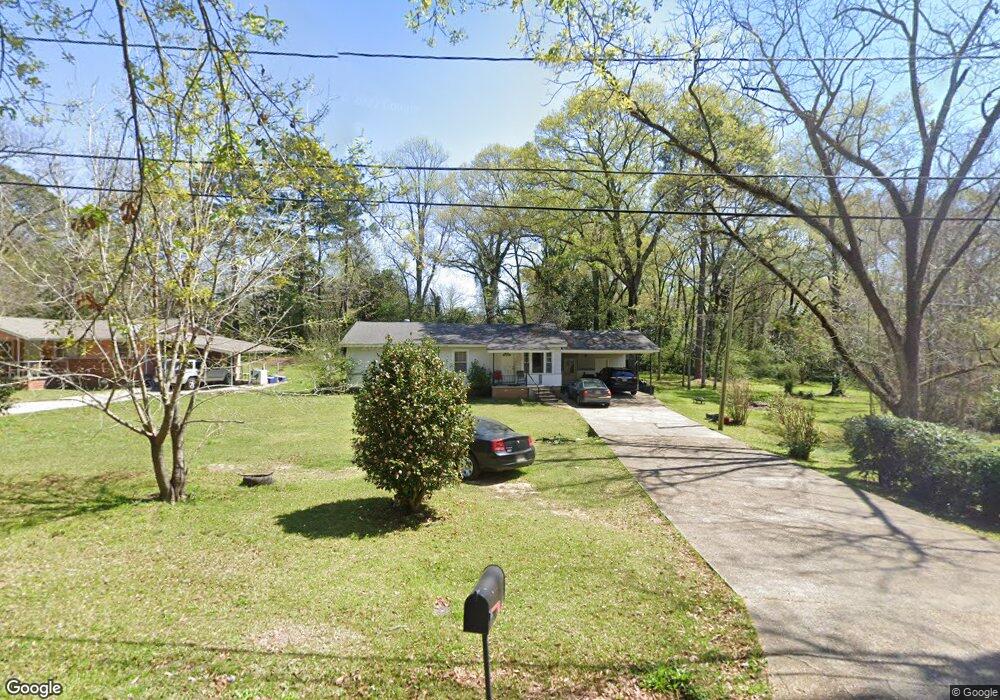
1010 Cameron St McComb, MS 39648
Estimated Value: $52,000 - $97,000
Studio
1
Bath
1,446
Sq Ft
$54/Sq Ft
Est. Value
About This Home
This home is located at 1010 Cameron St, McComb, MS 39648 and is currently estimated at $78,628, approximately $54 per square foot. 1010 Cameron St is a home with nearby schools including Higgins Middle School, Otken Elementary School, and Denman Junior High School.
Ownership History
Date
Name
Owned For
Owner Type
Purchase Details
Closed on
Apr 8, 2024
Sold by
Rld Companies Llc
Bought by
Whitener Jesse Eldon and Whitener Bonnie Jeaneen
Current Estimated Value
Purchase Details
Closed on
Jul 25, 2023
Sold by
Shepherd Robert L
Bought by
Rld Companies Llc
Purchase Details
Closed on
Feb 13, 2023
Sold by
Hart Daniel A and Hart Wanda S
Bought by
Rld Companies Llc
Home Financials for this Owner
Home Financials are based on the most recent Mortgage that was taken out on this home.
Original Mortgage
$72,000
Interest Rate
5.25%
Mortgage Type
New Conventional
Purchase Details
Closed on
Sep 9, 2022
Sold by
Hart Daniel A and Hart Wanda S
Bought by
St Amant Daniel A
Create a Home Valuation Report for This Property
The Home Valuation Report is an in-depth analysis detailing your home's value as well as a comparison with similar homes in the area
Purchase History
We collect this data history from publicly available records. To have your information removed, we recommend requesting removal directly through your county’s website.
| Date | Buyer | Sale Price | Title Company |
|---|---|---|---|
| Whitener Jesse Eldon | -- | None Listed On Document | |
| Rld Companies Llc | -- | None Listed On Document | |
| Rld Companies Llc | -- | -- | |
| St Amant Daniel A | -- | -- |
Source: Public Records
Mortgage History
We collect this data history from publicly available records. To have your information removed, we recommend requesting removal directly through your county’s website.
| Date | Status | Borrower | Loan Amount |
|---|---|---|---|
| Previous Owner | Rld Companies Llc | $72,000 | |
| Closed | Rld Companies Llc | $20,000 |
Source: Public Records
Tax History
| Year | Tax Paid | Tax Assessment Tax Assessment Total Assessment is a certain percentage of the fair market value that is determined by local assessors to be the total taxable value of land and additions on the property. | Land | Improvement |
|---|---|---|---|---|
| 2025 | $1,342 | $7,547 | $0 | $0 |
| 2024 | $1,202 | $6,730 | $0 | $0 |
| 2023 | $1,188 | $6,730 | $0 | $0 |
| 2022 | $1,171 | $6,730 | $0 | $0 |
| 2021 | $1,168 | $6,730 | $0 | $0 |
| 2020 | $1,202 | $6,923 | $0 | $0 |
| 2019 | $1,150 | $6,923 | $0 | $0 |
| 2018 | $1,116 | $6,923 | $0 | $0 |
| 2017 | $1,123 | $6,923 | $0 | $0 |
| 2016 | $1,114 | $6,923 | $0 | $0 |
| 2015 | -- | $6,916 | $0 | $0 |
| 2014 | -- | $6,916 | $0 | $0 |
| 2013 | -- | $6,731 | $0 | $0 |
Source: Public Records
Map
Nearby Homes
- 800 Jackson Ave
- 315 Kentucky Ave
- 400 Burke Ave
- 310 Burke Ave
- 910 Summit St
- 912 Summit St
- 900 N James Ave
- 804 North St
- 134 A & B W New York Ave
- 402 Laurel St
- 220 N James Ave
- 321 Saint Augustine
- 136 W New York Ave
- 527 W New York Ave
- 213 Harmony St
- 917 North St
- 406 Aston Ave
- 723 Delaware Ave
- 635 Delaware Ave
- 721 Minnesota Ave
Your Personal Tour Guide
Ask me questions while you tour the home.