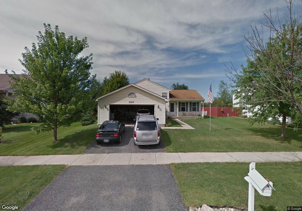
1010 Cardinal Dr Zion, IL 60099
West Zion NeighborhoodEstimated Value: $278,000 - $306,000
3
Beds
2
Baths
1,104
Sq Ft
$264/Sq Ft
Est. Value
About This Home
This home is located at 1010 Cardinal Dr, Zion, IL 60099 and is currently estimated at $291,337, approximately $263 per square foot. 1010 Cardinal Dr is a home located in Lake County with nearby schools including Newport Elementary School, Beach Park Middle School, and Zion-Benton Township High School.
Ownership History
Date
Name
Owned For
Owner Type
Purchase Details
Closed on
Jun 25, 2003
Sold by
Carter Jeremy N
Bought by
Carter Jeremy N and Carter Denise M
Current Estimated Value
Home Financials for this Owner
Home Financials are based on the most recent Mortgage that was taken out on this home.
Original Mortgage
$178,322
Outstanding Balance
$75,729
Interest Rate
5.36%
Mortgage Type
FHA
Estimated Equity
$215,608
Purchase Details
Closed on
Apr 29, 1999
Sold by
Bank Of Waukegan
Bought by
Carter Jeremy N and Carter Denise M
Home Financials for this Owner
Home Financials are based on the most recent Mortgage that was taken out on this home.
Original Mortgage
$142,822
Interest Rate
7.04%
Mortgage Type
FHA
Create a Home Valuation Report for This Property
The Home Valuation Report is an in-depth analysis detailing your home's value as well as a comparison with similar homes in the area
Home Values in the Area
Average Home Value in this Area
Purchase History
| Date | Buyer | Sale Price | Title Company |
|---|---|---|---|
| Carter Jeremy N | -- | All American Escrow & Title | |
| Carter Jeremy N | -- | All American Escrow & Title | |
| Carter Jeremy N | $144,000 | -- |
Source: Public Records
Mortgage History
| Date | Status | Borrower | Loan Amount |
|---|---|---|---|
| Open | Carter Jeremy N | $178,322 | |
| Closed | Carter Jeremy N | $142,822 |
Source: Public Records
Tax History Compared to Growth
Tax History
| Year | Tax Paid | Tax Assessment Tax Assessment Total Assessment is a certain percentage of the fair market value that is determined by local assessors to be the total taxable value of land and additions on the property. | Land | Improvement |
|---|---|---|---|---|
| 2024 | $8,305 | $83,861 | $9,976 | $73,885 |
| 2023 | $7,640 | $74,769 | $8,894 | $65,875 |
| 2022 | $7,640 | $64,553 | $7,299 | $57,254 |
| 2021 | $7,522 | $60,556 | $6,847 | $53,709 |
| 2020 | $7,245 | $56,956 | $6,440 | $50,516 |
| 2019 | $7,038 | $53,056 | $5,999 | $47,057 |
| 2018 | $6,566 | $49,082 | $5,420 | $43,662 |
| 2017 | $6,433 | $45,531 | $5,028 | $40,503 |
| 2016 | $5,946 | $41,331 | $4,564 | $36,767 |
| 2015 | $5,686 | $37,502 | $4,141 | $33,361 |
| 2014 | $5,281 | $35,967 | $3,908 | $32,059 |
| 2012 | $5,729 | $38,304 | $4,162 | $34,142 |
Source: Public Records
Map
Nearby Homes
- 908 Countrywood Dr
- 1302 Lorelei Dr
- 0 9th St
- 1417 Westside Trail
- 3717 Willow Crest Dr
- 4014 Ridge Rd
- 3707 Willow Crest Dr
- 4539 Illinois 173
- 1304 Pelican Ct
- 4533 Illinois 173
- 41320 N Green Bay Rd
- 43389 N Oakcrest Ln
- 1916 Sunshine Ct
- 43411 Lynn Dale Dr
- 1531 Southport Ct
- 2010 Sunset Ct
- 2031 Dawn Ln
- 1521 Southport Ct
- 42008 N Delany Rd
- 42908 N Lewis Ave
- 1012 Cardinal Dr
- 1008 Cardinal Dr
- 1006 Cardinal Dr
- 1014 Cardinal Dr
- 1007 Cardinal Dr
- 1009 Cardinal Dr
- 1004 Cardinal Dr
- 1016 Cardinal Dr
- 1011 Cardinal Dr
- 4211 Swan Ln
- 1002 Cardinal Dr
- 1100 Cardinal Dr
- 4210 Bluebird Ave
- 1003 Cardinal Dr
- 4209 Swan Ln
- 1101 Cardinal Dr
- 4210 Swan Ln
- 1102 Cardinal Dr
- 1000 Cardinal Dr
- 900 Pheasant Run