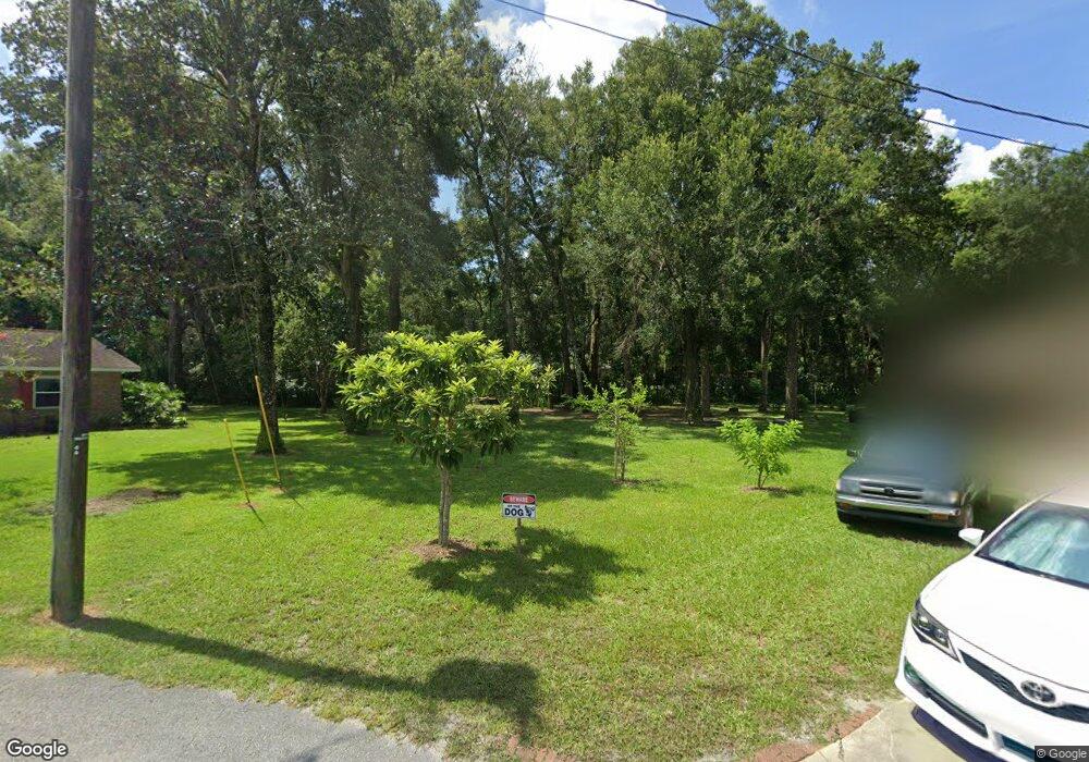
1010 Cedar Ridge Ln Deland, FL 32720
North DeLand NeighborhoodEstimated Value: $448,000 - $650,000
4
Beds
3
Baths
2,694
Sq Ft
$198/Sq Ft
Est. Value
About This Home
This home is located at 1010 Cedar Ridge Ln, Deland, FL 32720 and is currently estimated at $533,626, approximately $198 per square foot. 1010 Cedar Ridge Ln is a home located in Volusia County with nearby schools including Citrus Grove Elementary, Deland High School, and Deland Middle School.
Ownership History
Date
Name
Owned For
Owner Type
Purchase Details
Closed on
Mar 12, 2003
Sold by
Wysong Annie Laurie Mclendon
Bought by
Baggett Christopher T and Parton Elyshia
Current Estimated Value
Home Financials for this Owner
Home Financials are based on the most recent Mortgage that was taken out on this home.
Original Mortgage
$133,000
Outstanding Balance
$57,093
Interest Rate
5.86%
Estimated Equity
$476,533
Purchase Details
Closed on
Feb 15, 1984
Bought by
Baggett Christopher T
Purchase Details
Closed on
May 15, 1976
Bought by
Baggett Christopher T
Create a Home Valuation Report for This Property
The Home Valuation Report is an in-depth analysis detailing your home's value as well as a comparison with similar homes in the area
Home Values in the Area
Average Home Value in this Area
Purchase History
| Date | Buyer | Sale Price | Title Company |
|---|---|---|---|
| Baggett Christopher T | $39,000 | -- | |
| Baggett Christopher T | $32,000 | -- | |
| Baggett Christopher T | $24,000 | -- |
Source: Public Records
Mortgage History
| Date | Status | Borrower | Loan Amount |
|---|---|---|---|
| Open | Baggett Christopher T | $133,000 |
Source: Public Records
Tax History Compared to Growth
Tax History
| Year | Tax Paid | Tax Assessment Tax Assessment Total Assessment is a certain percentage of the fair market value that is determined by local assessors to be the total taxable value of land and additions on the property. | Land | Improvement |
|---|---|---|---|---|
| 2025 | $3,444 | $228,678 | -- | -- |
| 2024 | $3,444 | $222,234 | -- | -- |
| 2023 | $3,444 | $215,762 | $0 | $0 |
| 2022 | $3,378 | $209,478 | $0 | $0 |
| 2021 | $3,502 | $203,377 | $0 | $0 |
| 2020 | $3,452 | $200,569 | $0 | $0 |
| 2019 | $3,394 | $187,987 | $0 | $0 |
| 2018 | $3,387 | $184,482 | $0 | $0 |
| 2017 | $3,394 | $180,688 | $0 | $0 |
| 2016 | $3,243 | $176,972 | $0 | $0 |
| 2015 | $3,308 | $175,742 | $0 | $0 |
| 2014 | $3,275 | $174,347 | $0 | $0 |
Source: Public Records
Map
Nearby Homes
- 1937 N Spring Garden Ave
- 887 Asterfield Ln
- 882 Asterfield Ln
- 897 Honey Petal Ln
- 1110 Mercers Fernery Rd
- 903 Honey Petal Ln
- 865 Asterfield Ln
- 2172 N Spring Garden Ave
- 975 Rolling Acres Dr
- 1221 Bramley Ln
- 2285 Wilmhurst Rd
- 1224 Bexley Ct
- 0 Oak Valley Dr
- 580 Mercers Fernery Rd
- 1260 Bramley Ln
- 1285 Bramley Ln
- 753 Glenwood Rd
- 1555 Mercers Fernery Rd
- 2541 Parkway Dr
- 905 Cascade Falls Ln
- 1754 Woodcrest Ln
- 1755 Woodcrest Ln
- 980 Cedar Ridge Ln
- 2050 Tanglewood Ln
- 1764 Woodcrest Ln
- 2011 N Spring Garden Ave
- 1765 Woodcrest Ln
- 2070 Tanglewood Ln
- 1779 Woodcrest Ln
- 1180 Glen Royal Terrace
- 899 Asterfield Ln
- 897 Asterfield Ln Unit Lot 3
- 897 Asterfield Ln
- 895 Asterfield Ln
- 901 Asterfield Ln Unit Lot 1
- 901 Asterfield Ln
- 893 Asterfield Ln
- 2071 Tanglewood Ln
- 891 Asterfield Ln
- 889 Asterfield Ln
