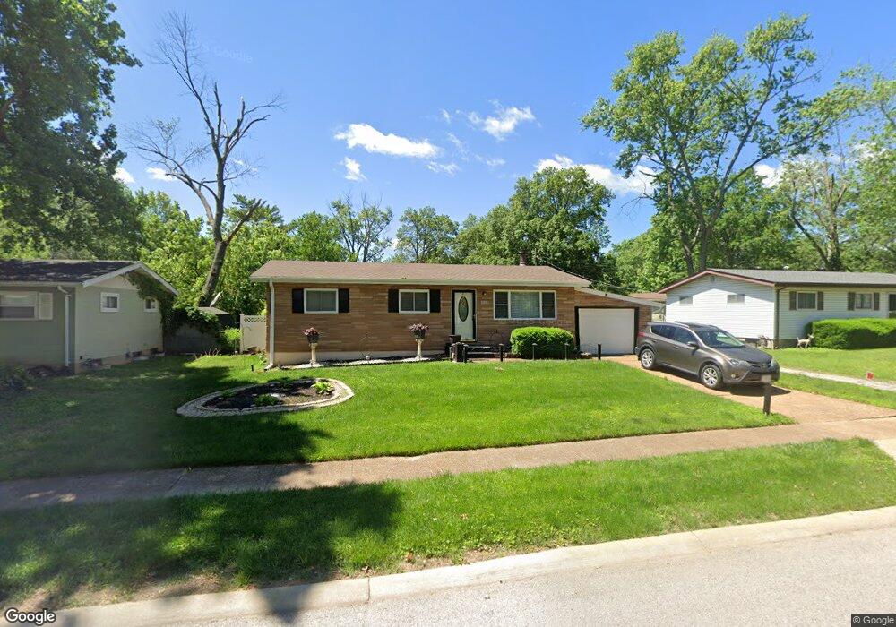
1010 Clearfield Dr Saint Louis, MO 63135
Estimated Value: $114,000 - $127,000
3
Beds
2
Baths
960
Sq Ft
$124/Sq Ft
Est. Value
About This Home
This home is located at 1010 Clearfield Dr, Saint Louis, MO 63135 and is currently estimated at $119,405, approximately $124 per square foot. 1010 Clearfield Dr is a home located in St. Louis County with nearby schools including Vogt Elementary School, Ferguson Middle School, and McCluer High School.
Ownership History
Date
Name
Owned For
Owner Type
Purchase Details
Closed on
Jun 29, 1999
Sold by
Horn Yolanda K and Horn Rory B
Bought by
Jones Charles L and Jones Valerie B
Current Estimated Value
Home Financials for this Owner
Home Financials are based on the most recent Mortgage that was taken out on this home.
Original Mortgage
$62,910
Outstanding Balance
$22,820
Interest Rate
11.6%
Estimated Equity
$96,585
Create a Home Valuation Report for This Property
The Home Valuation Report is an in-depth analysis detailing your home's value as well as a comparison with similar homes in the area
Home Values in the Area
Average Home Value in this Area
Purchase History
| Date | Buyer | Sale Price | Title Company |
|---|---|---|---|
| Jones Charles L | $69,900 | -- |
Source: Public Records
Mortgage History
| Date | Status | Borrower | Loan Amount |
|---|---|---|---|
| Open | Jones Charles L | $62,910 |
Source: Public Records
Tax History Compared to Growth
Tax History
| Year | Tax Paid | Tax Assessment Tax Assessment Total Assessment is a certain percentage of the fair market value that is determined by local assessors to be the total taxable value of land and additions on the property. | Land | Improvement |
|---|---|---|---|---|
| 2025 | $1,659 | $25,380 | $3,420 | $21,960 |
| 2024 | $1,659 | $22,880 | $3,060 | $19,820 |
| 2023 | $1,649 | $22,880 | $3,060 | $19,820 |
| 2022 | $1,295 | $15,580 | $3,930 | $11,650 |
| 2021 | $1,253 | $15,580 | $3,930 | $11,650 |
| 2020 | $1,328 | $14,860 | $2,090 | $12,770 |
| 2019 | $1,303 | $14,860 | $2,090 | $12,770 |
| 2018 | $1,134 | $11,500 | $2,550 | $8,950 |
| 2017 | $1,112 | $11,500 | $2,550 | $8,950 |
| 2016 | $1,349 | $13,800 | $2,550 | $11,250 |
| 2015 | $1,358 | $13,800 | $2,550 | $11,250 |
| 2014 | $1,351 | $13,570 | $2,510 | $11,060 |
Source: Public Records
Map
Nearby Homes
- 299 Dashwood Dr
- 1006 Highmont Dr
- 315 S Dellwood Dr
- 125 Forestwood Dr
- 50 Fenwick Dr
- 29 Godfrey Ln
- 141 S Barat Ave
- 135 S Barat Ave
- 1304 Lang Dr
- 1321 Highmont Dr
- 49 S Dellwood Ave
- 33 S Schlueter Ave
- 1325 Kappel Dr
- 109 Florwood Ct
- 324 Gage Dr
- 1347 Kappel Dr
- 18 Mintert Manor Dr
- 215 Bruce Ave
- 9619 Perch Dr
- 6155 Emerald Ave
- 1014 Clearfield Dr
- 1006 Clearfield Dr
- 282 Dashwood Dr
- 274 Dashwood Dr
- 288 Dashwood Dr
- 1015 Forestwood Dr
- 1011 Forestwood Dr
- 1018 Clearfield Dr
- 1017 Clearfield Dr
- 264 Dashwood Dr
- 1013 Clearfield Dr
- 1021 Clearfield Dr
- 1009 Clearfield Dr
- 294 Dashwood Dr
- 1025 Clearfield Dr
- 1007 Forestwood Dr
- 1005 Clearfield Dr
- 1029 Clearfield Dr
- 1001 Clearfield Dr
- 277 Dashwood Dr