1010 Coal Mine Way Cle Elum, WA 98922
Estimated Value: $1,708,202 - $2,147,000
4
Beds
3
Baths
2,939
Sq Ft
$630/Sq Ft
Est. Value
About This Home
This home is located at 1010 Coal Mine Way, Cle Elum, WA 98922 and is currently estimated at $1,851,301, approximately $629 per square foot. 1010 Coal Mine Way is a home located in Kittitas County with nearby schools including Cle Elum Roslyn Elementary School, Walter Strom Middle School, and Cle Elum Roslyn High School.
Ownership History
Date
Name
Owned For
Owner Type
Purchase Details
Closed on
Dec 23, 2005
Sold by
Suncadia Llc
Bought by
Choudhury Rajib and Choudhury Neetilekha
Current Estimated Value
Home Financials for this Owner
Home Financials are based on the most recent Mortgage that was taken out on this home.
Original Mortgage
$190,000
Outstanding Balance
$109,189
Interest Rate
6.75%
Mortgage Type
Adjustable Rate Mortgage/ARM
Estimated Equity
$1,742,112
Create a Home Valuation Report for This Property
The Home Valuation Report is an in-depth analysis detailing your home's value as well as a comparison with similar homes in the area
Home Values in the Area
Average Home Value in this Area
Purchase History
| Date | Buyer | Sale Price | Title Company |
|---|---|---|---|
| Choudhury Rajib | $383,550 | Amerititle |
Source: Public Records
Mortgage History
| Date | Status | Borrower | Loan Amount |
|---|---|---|---|
| Open | Choudhury Rajib | $190,000 |
Source: Public Records
Tax History Compared to Growth
Tax History
| Year | Tax Paid | Tax Assessment Tax Assessment Total Assessment is a certain percentage of the fair market value that is determined by local assessors to be the total taxable value of land and additions on the property. | Land | Improvement |
|---|---|---|---|---|
| 2025 | $10,224 | $1,643,740 | $423,100 | $1,220,640 |
| 2023 | $10,224 | $1,523,610 | $393,800 | $1,129,810 |
| 2022 | $8,296 | $1,151,030 | $235,450 | $915,580 |
| 2021 | $7,882 | $1,042,730 | $167,950 | $874,780 |
| 2019 | $4,353 | $571,790 | $138,700 | $433,090 |
| 2018 | $870 | $104,620 | $104,620 | $0 |
| 2017 | $870 | $104,620 | $104,620 | $0 |
| 2016 | $873 | $104,620 | $104,620 | $0 |
| 2015 | $903 | $104,620 | $104,620 | $0 |
| 2013 | -- | $104,620 | $104,620 | $0 |
Source: Public Records
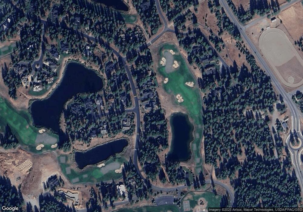
Map
Nearby Homes
- 950 Coal Mine Way
- 930 Coal Mine Way
- 240 Monabel Ct
- 70 Monabel Ct
- 571 Richards Rd
- 1481 Coal Mine Way
- 1561 Coal Mine Way
- 722 S A St
- 706 S A St
- 221 Tipple Hill Loop
- 530 Spragger Way
- 301 Tipple Hill Loop
- 602 S 1st St
- 610 Spragger Way
- 90 Portal Ct
- 2040 Coal Mine Way
- 2101 Coal Mine Way
- 100 Black Nugget Ln
- 81 Bullwheel Ln
- 1060 Spragger Way
- 1040 Coal Mine Way
- 1060 Coal Mine Way
- 31 Powder Cap Ct
- 30 Powercap Ct
- 1090 Coal Mine Way
- 71 Powder Cap Ct
- 1091 Coal Mine Way
- 1120 Coal Mine Way
- 101 Powder Cap Ct
- 100 Powder Cap Ct
- 1141 Coal Mine Way
- 121 Powder Cap Ct
- 810 Coal Mine Way
- 130 Powder Cap Ct
- 51 Steam Gin Loop
- 241 Monabel Ct
- 210 Monabel Ct
- 1201 Coal Mine Way
- 170 Monabel Ct
- 1160 Coal Mine Way