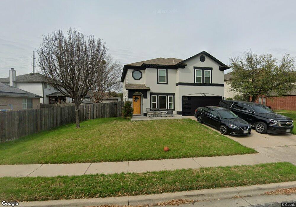
1010 Collie Path Round Rock, TX 78664
Stony Point NeighborhoodEstimated Value: $348,208 - $419,000
4
Beds
3
Baths
2,556
Sq Ft
$145/Sq Ft
Est. Value
About This Home
This home is located at 1010 Collie Path, Round Rock, TX 78664 and is currently estimated at $370,802, approximately $145 per square foot. 1010 Collie Path is a home located in Williamson County with nearby schools including Double File Trail Elementary School, Hernandez Middle School, and Stony Point High IB World School.
Ownership History
Date
Name
Owned For
Owner Type
Purchase Details
Closed on
Apr 6, 2016
Sold by
Tuttle George
Bought by
Barbee James Noel and Barbee Stacy
Current Estimated Value
Home Financials for this Owner
Home Financials are based on the most recent Mortgage that was taken out on this home.
Original Mortgage
$189,012
Outstanding Balance
$149,961
Interest Rate
3.64%
Mortgage Type
FHA
Estimated Equity
$220,841
Purchase Details
Closed on
Oct 9, 2007
Sold by
Hud
Bought by
Tuttle George
Create a Home Valuation Report for This Property
The Home Valuation Report is an in-depth analysis detailing your home's value as well as a comparison with similar homes in the area
Home Values in the Area
Average Home Value in this Area
Purchase History
| Date | Buyer | Sale Price | Title Company |
|---|---|---|---|
| Barbee James Noel | -- | None Available | |
| Tuttle George | -- | First American Title |
Source: Public Records
Mortgage History
| Date | Status | Borrower | Loan Amount |
|---|---|---|---|
| Open | Barbee James Noel | $189,012 |
Source: Public Records
Tax History
| Year | Tax Paid | Tax Assessment Tax Assessment Total Assessment is a certain percentage of the fair market value that is determined by local assessors to be the total taxable value of land and additions on the property. | Land | Improvement |
|---|---|---|---|---|
| 2025 | $5,335 | $367,064 | $77,000 | $290,064 |
| 2024 | $5,335 | $350,852 | $77,000 | $273,852 |
| 2023 | $4,836 | $322,469 | $0 | $0 |
| 2022 | $5,741 | $293,154 | $0 | $0 |
| 2021 | $6,038 | $266,504 | $59,000 | $237,457 |
| 2020 | $5,520 | $242,276 | $56,132 | $186,144 |
| 2019 | $5,427 | $230,088 | $51,300 | $178,788 |
| 2018 | $4,793 | $217,340 | $45,368 | $183,923 |
| 2017 | $4,852 | $197,582 | $42,400 | $155,182 |
| 2016 | $4,804 | $195,613 | $42,400 | $153,213 |
| 2015 | $4,053 | $182,591 | $34,900 | $147,691 |
| 2014 | $4,053 | $163,552 | $0 | $0 |
Source: Public Records
Map
Nearby Homes
- 1205 Apollo Cir
- 1212 Afghan Path
- 1301 Sheltie Ln
- 2471 Sunrise Rd Unit 2
- 2471 Sunrise Rd Unit 64
- 1111 Terrier Cove
- 1527 Apollo Cir
- 1539 Apollo Cir
- 1411 Baffin Cove
- 1208 Copano Cove
- 1013 Aransas Cove
- 17308 Monastrell Ln Unit 43
- 2690 Bradley Ln
- 2305 Vernell Way
- 2067 Buckley Ln
- 3017 Settlement Dr Unit 24
- 2417 Hallie Ln
- 1111 Pathfinder Way
- 2105 Tiger Trail Unit 501
- 2105 Tiger Trail Unit 503
- 1004 Collie Path
- 1300 Deerhound Place
- 1302 Deerhound Place
- 1304 Deerhound Place
- 1000 Collie Path
- 1112 Champion Dr
- 1306 Deerhound Place
- 1009 Collie Path
- 1011 Collie Path
- 1007 Collie Path
- 1003 Collie Path
- 1005 Collie Path
- 1013 Collie Path
- 1303 Deerhound Place
- 1301 Deerhound Place
- 1305 Deerhound Place
- 1235 Deerhound Place
- 1214 Deerhound Place
- 1307 Deerhound Place
Your Personal Tour Guide
Ask me questions while you tour the home.