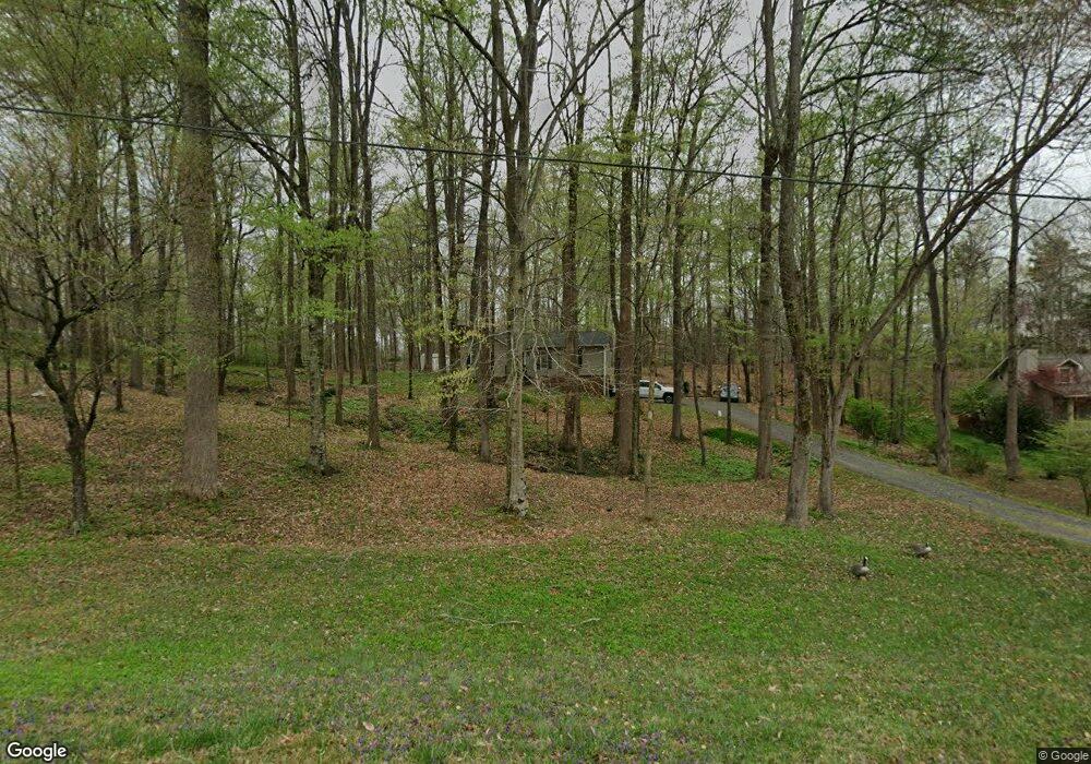
1010 Dunkirk Rd Clemmons, NC 27012
Estimated Value: $303,434 - $370,000
6
Beds
4
Baths
3,038
Sq Ft
$109/Sq Ft
Est. Value
About This Home
This home is located at 1010 Dunkirk Rd, Clemmons, NC 27012 and is currently estimated at $330,859, approximately $108 per square foot. 1010 Dunkirk Rd is a home located in Forsyth County with nearby schools including Southwest Elementary, Meadowlark Middle School, and West Forsyth High.
Ownership History
Date
Name
Owned For
Owner Type
Purchase Details
Closed on
Jul 3, 2008
Sold by
Gang Stephanie B
Bought by
Gang Mark J
Current Estimated Value
Home Financials for this Owner
Home Financials are based on the most recent Mortgage that was taken out on this home.
Original Mortgage
$142,000
Outstanding Balance
$80,591
Interest Rate
3.89%
Mortgage Type
New Conventional
Estimated Equity
$250,268
Purchase Details
Closed on
Jan 27, 2006
Sold by
Warfel Keith A and Warfel Amy L
Bought by
Gang Mark J and Gang Stephanie B
Home Financials for this Owner
Home Financials are based on the most recent Mortgage that was taken out on this home.
Original Mortgage
$126,400
Interest Rate
8.52%
Mortgage Type
New Conventional
Create a Home Valuation Report for This Property
The Home Valuation Report is an in-depth analysis detailing your home's value as well as a comparison with similar homes in the area
Home Values in the Area
Average Home Value in this Area
Purchase History
| Date | Buyer | Sale Price | Title Company |
|---|---|---|---|
| Gang Mark J | -- | Servicelink | |
| Gang Mark J | $158,000 | None Available |
Source: Public Records
Mortgage History
| Date | Status | Borrower | Loan Amount |
|---|---|---|---|
| Open | Gang Mark J | $142,000 | |
| Closed | Gang Mark J | $126,400 | |
| Closed | Gang Mark J | $31,600 |
Source: Public Records
Tax History Compared to Growth
Tax History
| Year | Tax Paid | Tax Assessment Tax Assessment Total Assessment is a certain percentage of the fair market value that is determined by local assessors to be the total taxable value of land and additions on the property. | Land | Improvement |
|---|---|---|---|---|
| 2025 | $1,532 | $263,400 | $59,400 | $204,000 |
| 2024 | $1,522 | $198,500 | $49,500 | $149,000 |
| 2023 | $1,522 | $198,500 | $49,500 | $149,000 |
| 2022 | $1,522 | $198,500 | $49,500 | $149,000 |
| 2021 | $1,512 | $198,500 | $49,500 | $149,000 |
| 2020 | $1,417 | $170,600 | $41,400 | $129,200 |
| 2019 | $1,434 | $170,600 | $41,400 | $129,200 |
| 2018 | $1,372 | $170,000 | $41,400 | $128,600 |
| 2016 | $1,259 | $155,219 | $36,000 | $119,219 |
| 2015 | $1,270 | $155,219 | $36,000 | $119,219 |
| 2014 | $1,246 | $155,219 | $36,000 | $119,219 |
Source: Public Records
Map
Nearby Homes
- 1953 Woodstock Rd
- 8350 Holler Farm Rd
- 2458 Lansford Ct
- 1762 Canopy Trail
- 8820 Kings Tree Rd
- Mayfair Plan at Grove Park
- Cooper Plan at Grove Park
- Avery Plan at Grove Park
- Raleigh Plan at Grove Park
- Edgefield Plan at Grove Park
- Sullivan Plan at Grove Park
- 8123 Burberry Trail
- 8117 Burberry Trail
- 8111 Burberry Trail
- 1839 Songbird Ln
- 9105 Concord Church Rd
- 8663 Stone Valley Dr
- 8978 Maltese Ct
- 8966 Maltese Ct
- 1379 Ashfield Dr
- 1020 Dunkirk Rd
- 8211 Styers Ferry Rd
- 8160 Elkmont Dr
- 8195 Styers Ferry Rd
- 8217 Styers Ferry Rd
- 8185 Styers Ferry Rd
- 8140 Elkmont Dr
- 8170 Styers Ferry Rd
- 2000 Elkmont Ct
- 8165 Styers Ferry Rd
- 8247 Styers Ferry Rd
- 8180 Styers Ferry Rd
- 8220 Styers Ferry Rd
- 7920 Styers Ferry Rd
- 8200 Styers Ferry Rd
- 8155 Styers Ferry Rd
- 8131 Elkmont Dr
- 8120 Elkmont Dr
- 2011 Elkmont Ct
- 8145 Styers Ferry Rd
