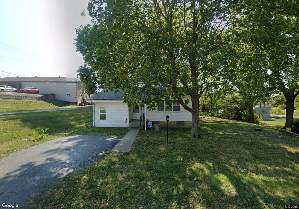
1010 E Oak St Pleasant Hill, MO 64080
Estimated Value: $188,000 - $263,000
3
Beds
2
Baths
1,356
Sq Ft
$161/Sq Ft
Est. Value
About This Home
This home is located at 1010 E Oak St, Pleasant Hill, MO 64080 and is currently estimated at $218,343, approximately $161 per square foot. 1010 E Oak St is a home located in Cass County with nearby schools including Pleasant Hill Primary School, Pleasant Hill Elementary School, and Pleasant Hill Middle School.
Ownership History
Date
Name
Owned For
Owner Type
Purchase Details
Closed on
Dec 17, 2020
Sold by
Nagel Rebecca
Bought by
Dulohery Halle
Current Estimated Value
Home Financials for this Owner
Home Financials are based on the most recent Mortgage that was taken out on this home.
Original Mortgage
$132,063
Outstanding Balance
$117,033
Interest Rate
2.7%
Mortgage Type
FHA
Estimated Equity
$101,310
Create a Home Valuation Report for This Property
The Home Valuation Report is an in-depth analysis detailing your home's value as well as a comparison with similar homes in the area
Home Values in the Area
Average Home Value in this Area
Purchase History
| Date | Buyer | Sale Price | Title Company |
|---|---|---|---|
| Dulohery Halle | -- | Coffelt Land Title Inc |
Source: Public Records
Mortgage History
| Date | Status | Borrower | Loan Amount |
|---|---|---|---|
| Open | Dulohery Halle | $132,063 |
Source: Public Records
Tax History
| Year | Tax Paid | Tax Assessment Tax Assessment Total Assessment is a certain percentage of the fair market value that is determined by local assessors to be the total taxable value of land and additions on the property. | Land | Improvement |
|---|---|---|---|---|
| 2025 | $1,107 | $17,530 | $2,720 | $14,810 |
| 2024 | $1,107 | $15,350 | $2,470 | $12,880 |
| 2023 | $1,099 | $15,350 | $2,470 | $12,880 |
| 2022 | $978 | $13,410 | $2,470 | $10,940 |
| 2021 | $952 | $13,410 | $2,470 | $10,940 |
| 2020 | $886 | $12,790 | $2,470 | $10,320 |
| 2019 | $874 | $12,790 | $2,470 | $10,320 |
| 2018 | $782 | $11,290 | $1,980 | $9,310 |
| 2017 | $753 | $11,290 | $1,980 | $9,310 |
| 2016 | $753 | $10,830 | $1,980 | $8,850 |
| 2015 | $763 | $10,830 | $1,980 | $8,850 |
| 2014 | $766 | $10,830 | $1,980 | $8,850 |
| 2013 | -- | $10,830 | $1,980 | $8,850 |
Source: Public Records
Map
Nearby Homes
- 1700 Mulberry St
- 0 Route 7
- 204 Lexington Rd
- 0 Locust St
- 810 Pine St
- 501 Lexington Rd
- 414 N Randolph St
- 401 N Randolph St
- 1307 Lawndale Ave
- 1408 Country Club Dr
- 1316 Delaware St
- 218 N Boardman St
- 806 Lexington Rd
- 1308 Baltimore St
- 812 Riffle Dr
- 810 Riffle Dr
- 903 Ingleside Dr
- 108 S Front St
- 902 Riffle Dr
- 900 Riffle Dr
- 110 N Independence St
- 1000 E Oak St
- 1005 Cedar St
- 1001 Cedar St
- 930 E Oak St
- 930 Oak St
- 208 N Independence St
- 201 N State Route 7
- 201 N State Route 7
- 0 7 Hwy Unit 1882579
- 0 7 Hwy Unit 2203913
- 0 7 Hwy Unit 2153456
- 201 N Independence St
- 210 N Independence St
- 206 N State Route 7
- 205 N Independence St
- 100 S Independence St
- 1706 Mulberry St
- 1702 Mulberry St
- 1710 Mulberry St
Your Personal Tour Guide
Ask me questions while you tour the home.