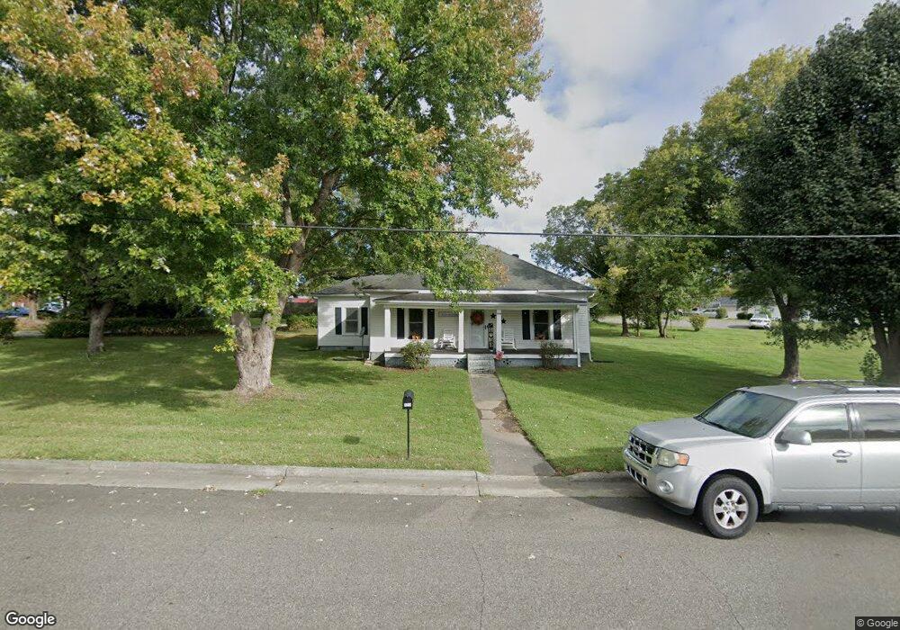
1010 Forrest Dr Mount Airy, NC 27030
Estimated Value: $97,000 - $204,000
3
Beds
1
Bath
1,404
Sq Ft
$108/Sq Ft
Est. Value
About This Home
This home is located at 1010 Forrest Dr, Mount Airy, NC 27030 and is currently estimated at $151,460, approximately $107 per square foot. 1010 Forrest Dr is a home located in Surry County with nearby schools including Franklin Elementary School, Meadowview Magnet Middle School, and North Surry High School.
Ownership History
Date
Name
Owned For
Owner Type
Purchase Details
Closed on
Apr 3, 2020
Sold by
Johnson Fredrick G
Bought by
Bellhenmar Llc
Current Estimated Value
Purchase Details
Closed on
Mar 15, 2012
Sold by
Taylor Larry Ralph and Taylor Sarah Patricia
Bought by
Bass Jack Cecil and Bass Clorine Humphreys
Purchase Details
Closed on
Feb 25, 2009
Sold by
Bass Jack Cecil and Bass Clorine Humphreys
Bought by
Taylor Larry Ralph and Taylor Sarah Patrica
Purchase Details
Closed on
Jun 1, 1966
Create a Home Valuation Report for This Property
The Home Valuation Report is an in-depth analysis detailing your home's value as well as a comparison with similar homes in the area
Home Values in the Area
Average Home Value in this Area
Purchase History
| Date | Buyer | Sale Price | Title Company |
|---|---|---|---|
| Bellhenmar Llc | $45,045 | None Available | |
| Bass Jack Cecil | -- | None Available | |
| Taylor Larry Ralph | -- | None Available | |
| -- | -- | -- |
Source: Public Records
Tax History Compared to Growth
Tax History
| Year | Tax Paid | Tax Assessment Tax Assessment Total Assessment is a certain percentage of the fair market value that is determined by local assessors to be the total taxable value of land and additions on the property. | Land | Improvement |
|---|---|---|---|---|
| 2025 | $542 | $96,390 | $18,000 | $78,390 |
| 2024 | $477 | $77,340 | $18,000 | $59,340 |
| 2023 | $468 | $77,340 | $18,000 | $59,340 |
| 2022 | $468 | $77,340 | $18,000 | $59,340 |
| 2021 | $477 | $77,340 | $18,000 | $59,340 |
| 2020 | $480 | $59,130 | $18,000 | $41,130 |
| 2019 | $262 | $74,700 | $0 | $0 |
| 2018 | $261 | $74,700 | $0 | $0 |
| 2017 | $262 | $74,700 | $0 | $0 |
| 2016 | $262 | $74,700 | $0 | $0 |
| 2013 | -- | $77,540 | $0 | $0 |
Source: Public Records
Map
Nearby Homes
- 00 Hillcrest Dr
- 1520 Edgewood Dr
- 130 Williamson Ave
- 1122 Viewland Ave
- .58 Newsome St
- 123 Greystone Ln
- 125 Greystone Ln
- 2019 Woodland Dr
- 704 E Haymore St
- 0 Caudle Dr
- 802 Spring St
- 220 Broad St
- 1023 Spring St
- 212 Bluemont Rd
- 216 Belvue Dr
- 00 Farmbrook Rd
- 02 Farmbrook Rd
- 000000 Farmbrook Rd
- 01 Farmbrook Rd
- 00000 Farmbrook Rd
- 1024 Marshall Heights St
- 1020 Marshall Heights St
- 1018 Marshall Heights St
- 1002 Forrest Dr
- 1003 Forrest Dr
- 1003 Forrest Dr
- 1016 Marshall Heights St
- 1105 Park Dr Unit 200
- 1105 Park Dr Unit 100
- 1105 Park Dr
- 929 Forrest Dr
- 1322 Grove Ln
- 1320 Grove Ln
- 1012 Marshall Heights St
- 1318 Grove Ln
- 1326 Grove Ln
- 1316 Grove Ln
- 1314 Grove Ln
- 928 Forrest Dr
- 1010 Marshall Heights St