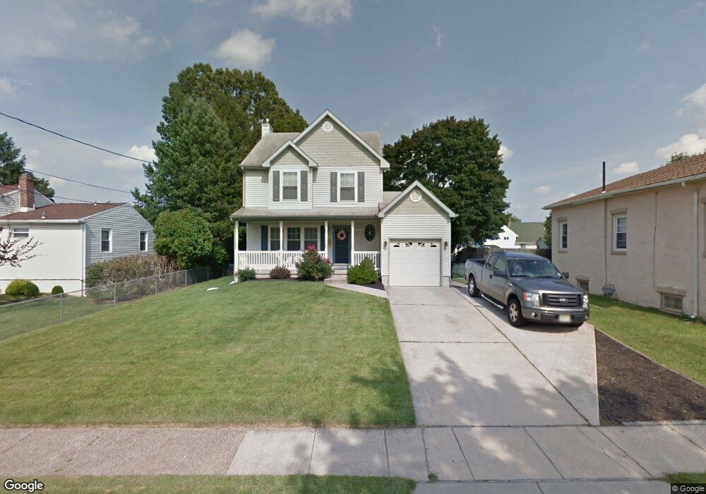
1010 Glendora Ave Glendora, NJ 08029
Estimated Value: $285,000 - $351,000
Studio
--
Bath
1,350
Sq Ft
$229/Sq Ft
Est. Value
About This Home
This home is located at 1010 Glendora Ave, Glendora, NJ 08029 and is currently estimated at $309,715, approximately $229 per square foot. 1010 Glendora Ave is a home located in Camden County with nearby schools including Glen Landing Middle School, Triton High School, and St. Teresa Regional School.
Ownership History
Date
Name
Owned For
Owner Type
Purchase Details
Closed on
Mar 18, 2010
Current Estimated Value
Home Financials for this Owner
Home Financials are based on the most recent Mortgage that was taken out on this home.
Original Mortgage
$179,200
Outstanding Balance
$118,711
Interest Rate
4.97%
Mortgage Type
Purchase Money Mortgage
Estimated Equity
$191,004
Purchase Details
Closed on
May 3, 1996
Sold by
Kojeski Construction
Home Financials for this Owner
Home Financials are based on the most recent Mortgage that was taken out on this home.
Original Mortgage
$114,000
Interest Rate
7.91%
Create a Home Valuation Report for This Property
The Home Valuation Report is an in-depth analysis detailing your home's value as well as a comparison with similar homes in the area
Home Values in the Area
Average Home Value in this Area
Purchase History
| Date | Buyer | Sale Price | Title Company |
|---|---|---|---|
| -- | -- | -- | |
| -- | $119,990 | -- |
Source: Public Records
Mortgage History
| Date | Status | Borrower | Loan Amount |
|---|---|---|---|
| Open | -- | $179,200 | |
| Previous Owner | -- | $114,000 |
Source: Public Records
Tax History
| Year | Tax Paid | Tax Assessment Tax Assessment Total Assessment is a certain percentage of the fair market value that is determined by local assessors to be the total taxable value of land and additions on the property. | Land | Improvement |
|---|---|---|---|---|
| 2025 | $8,448 | $199,900 | $51,800 | $148,100 |
| 2024 | $8,166 | $199,900 | $51,800 | $148,100 |
| 2023 | $8,166 | $199,900 | $51,800 | $148,100 |
| 2022 | $8,122 | $199,900 | $51,800 | $148,100 |
| 2021 | $7,952 | $199,900 | $51,800 | $148,100 |
| 2020 | $7,958 | $199,900 | $51,800 | $148,100 |
| 2019 | $7,782 | $199,900 | $51,800 | $148,100 |
| 2018 | $7,748 | $199,900 | $51,800 | $148,100 |
| 2017 | $9,027 | $199,900 | $51,800 | $148,100 |
| 2016 | $7,332 | $199,900 | $51,800 | $148,100 |
| 2015 | $6,807 | $199,900 | $51,800 | $148,100 |
| 2014 | $6,767 | $199,900 | $51,800 | $148,100 |
Source: Public Records
Map
Nearby Homes
- 1000 Central Ave
- 810 Central Ave
- 30 12th Ave
- 14 E Evesham Rd
- 1105 Huntington Ave
- 535 Main St
- 200 Austin Ave
- 217 3rd Ave
- 300 3rd Ave
- 1050 Woodland Ave
- 2400 Hartford Dr
- 112 Lindsey Ave
- 27 Lillian Place
- 37 S Read Ave
- 211 Chestnut St
- 200 Lake Ave
- 324 Huntington Ave
- 102 W Clements Bridge Rd
- 32 Lake Ave
- 18 E Front St
- 1016 Glendora Ave
- 1008 Glendora Ave
- 917 Saint Mark Dr
- 921 Saint Mark Dr
- 913 Saint Mark Dr
- 125 10th Ave
- 910 Glendora Ave
- 126 11th Ave
- 1003 Glendora Ave
- 205 11th Ave
- 909 Saint Mark Dr
- 1101 Saint Mark Dr
- 124 10th Ave
- 905 Saint Mark Dr
- 902 Glendora Ave
- 113 10th Ave
- 112 11th Ave
- 1000 Saint Mark Dr
- 0 Black Horse Pike Unit 1000163292
- 0 Black Horse Pike Unit 1007417808
Your Personal Tour Guide
Ask me questions while you tour the home.