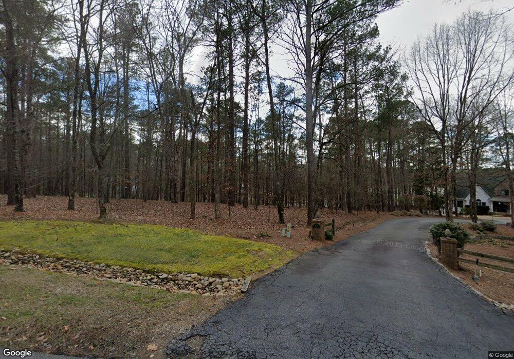
1010 Greyfield Rd Greensboro, GA 30642
Estimated Value: $576,125 - $764,000
--
Bed
--
Bath
--
Sq Ft
1.31
Acres
About This Home
This home is located at 1010 Greyfield Rd, Greensboro, GA 30642 and is currently estimated at $683,042. 1010 Greyfield Rd is a home with nearby schools including Greene County High School.
Ownership History
Date
Name
Owned For
Owner Type
Purchase Details
Closed on
Feb 7, 2025
Sold by
Poole Jerry W
Bought by
Macam Llc
Current Estimated Value
Purchase Details
Closed on
Feb 2, 2024
Sold by
Brenda P Dixon As Truste
Bought by
Poole Jerry W
Purchase Details
Closed on
Nov 17, 2020
Sold by
Poole Lucile L
Bought by
Dixon Brenda Poole and Poole Amended Revocab Lucile L
Purchase Details
Closed on
Jul 9, 1992
Sold by
Poole Elmer J and Poole Lucile L
Bought by
Poole Elmer J and Poole Lucile L
Purchase Details
Closed on
Jul 8, 1992
Sold by
Holland George R
Bought by
Poole Elmer J and Poole Lucile L
Purchase Details
Closed on
Jan 1, 1992
Bought by
Holland George R
Create a Home Valuation Report for This Property
The Home Valuation Report is an in-depth analysis detailing your home's value as well as a comparison with similar homes in the area
Home Values in the Area
Average Home Value in this Area
Purchase History
| Date | Buyer | Sale Price | Title Company |
|---|---|---|---|
| Macam Llc | $650,000 | -- | |
| Poole Jerry W | -- | -- | |
| Dixon Brenda Poole | -- | -- | |
| Poole Lucile L | -- | -- | |
| Poole Elmer J | -- | -- | |
| Poole Elmer J | $71,000 | -- | |
| Holland George R | -- | -- |
Source: Public Records
Tax History Compared to Growth
Tax History
| Year | Tax Paid | Tax Assessment Tax Assessment Total Assessment is a certain percentage of the fair market value that is determined by local assessors to be the total taxable value of land and additions on the property. | Land | Improvement |
|---|---|---|---|---|
| 2024 | $2,240 | $144,160 | $132,400 | $11,760 |
| 2023 | $2,240 | $144,160 | $132,400 | $11,760 |
| 2022 | $2,499 | $141,880 | $132,400 | $9,480 |
| 2021 | $2,652 | $139,920 | $130,440 | $9,480 |
| 2020 | $2,521 | $121,200 | $111,760 | $9,440 |
| 2019 | $2,599 | $121,200 | $111,760 | $9,440 |
| 2018 | $2,604 | $121,200 | $111,760 | $9,440 |
| 2017 | $2,435 | $121,249 | $111,780 | $9,469 |
| 2016 | $2,431 | $121,249 | $111,780 | $9,469 |
| 2015 | $2,411 | $121,248 | $111,780 | $9,469 |
| 2014 | $2,472 | $121,238 | $111,780 | $9,458 |
Source: Public Records
Map
Nearby Homes
- 1010 Plum Orchard Rd
- 1071 Westchester Dr
- 1101 Shoal Creek Ct
- 2031 Pine Valley Ct
- 2660 Club Dr
- 1107 Wharfside Ct
- 1113 Wharfside Ct
- 2541 Club Dr
- 1611 Lighthouse Cir
- 1001 Shoal Creek Ct
- 1260 Armour Rd
- 1131 Pinehurst Dr
- 2390 Club Dr
- 2700 Club Dr
- 1311 Lighthouse
- 1091 Pinehurst Dr
- 1390 Winged Foot Dr
- 1050 Spy Glass Hill
- 1020 Greyfield Rd
- 1001 Greyfield Rd
- 1220 Old Rock Rd
- 1150 Old Rock Rd
- 0 Greyfield Rd
- 1140 Old Rock Rd
- 1030 Greyfield Rd
- 1240 Old Rock Rd Unit 54
- 1240 Old Rock Rd
- 1001 Grey Moss Rd Unit 46
- 1001 Grey Moss Rd
- 1.43 AC Old Rock Rd
- Lot 6 Old Rock Rd Unit Richland Farms
- 1011 Greyfield Rd
- 0 Greymoss Rd Unit 7009621
- 0 Greymoss Rd
- 1250 Old Rock Rd
- 1010 Grey Moss Rd
- 1260 Old Rock Rd
- 1120 Old Rock Rd