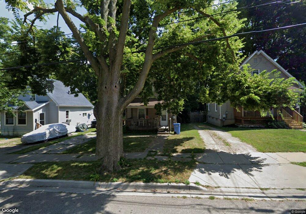
1010 Johnson Ave Lansing, MI 48906
Northtown NeighborhoodEstimated Value: $76,000 - $97,000
2
Beds
1
Bath
1,085
Sq Ft
$79/Sq Ft
Est. Value
About This Home
This home is located at 1010 Johnson Ave, Lansing, MI 48906 and is currently estimated at $86,000, approximately $79 per square foot. 1010 Johnson Ave is a home located in Ingham County with nearby schools including Pattengill Academy, Willow School, and Eastern High School.
Ownership History
Date
Name
Owned For
Owner Type
Purchase Details
Closed on
Jan 12, 2022
Sold by
Thedore Thelen
Bought by
Ryan Brendon
Current Estimated Value
Purchase Details
Closed on
Jun 13, 2003
Sold by
Capital Investment Llc
Bought by
Thelen Thedore
Purchase Details
Closed on
Mar 28, 1997
Sold by
Abraham Charles J
Bought by
Capitol Invest
Create a Home Valuation Report for This Property
The Home Valuation Report is an in-depth analysis detailing your home's value as well as a comparison with similar homes in the area
Home Values in the Area
Average Home Value in this Area
Purchase History
| Date | Buyer | Sale Price | Title Company |
|---|---|---|---|
| Ryan Brendon | $20,000 | None Listed On Document | |
| Thelen Thedore | $50,000 | -- | |
| Capitol Invest | $634,000 | -- |
Source: Public Records
Tax History
| Year | Tax Paid | Tax Assessment Tax Assessment Total Assessment is a certain percentage of the fair market value that is determined by local assessors to be the total taxable value of land and additions on the property. | Land | Improvement |
|---|---|---|---|---|
| 2025 | $1,964 | $38,800 | $4,000 | $34,800 |
| 2024 | $15 | $32,300 | $4,000 | $28,300 |
| 2023 | $1,843 | $27,700 | $4,000 | $23,700 |
| 2022 | $1,303 | $24,900 | $2,800 | $22,100 |
| 2021 | $1,621 | $22,700 | $4,000 | $18,700 |
| 2020 | $1,610 | $20,900 | $4,000 | $16,900 |
| 2019 | $2,775 | $19,700 | $4,000 | $15,700 |
| 2018 | $1,475 | $18,600 | $4,000 | $14,600 |
| 2017 | $2,196 | $18,600 | $4,000 | $14,600 |
| 2016 | $2,530 | $18,300 | $4,000 | $14,300 |
| 2015 | $2,530 | $17,900 | $8,061 | $9,839 |
| 2014 | $2,530 | $17,800 | $8,061 | $9,739 |
Source: Public Records
Map
Nearby Homes
- 1022 Persons Ct
- 1107 May St
- 1035 May St
- 925 May St
- 1102 Clark St
- 1323 E César E Chávez Ave
- 901 E César E Chávez Ave
- 1013 Mahlon St
- 927 Mahlon St
- 1428 E César E Chávez Ave
- 1440 E César E Chávez Ave
- 1311 Illinois Ave
- 1415 New York Ave
- 721 Clark St
- 1317 Illinois Ave
- 941 Maryland Ave
- 1312 Otto St
- 649 Worthington Dr Unit 5
- 602 N Pennsylvania Ave
- 1319 Maryland Ave
- 1014 Johnson Ave
- 1006 Johnson Ave
- 1004 Johnson Ave
- 1022 Johnson Ave
- 930 Johnson Ave
- 1015 Farrand St
- 1011 Farrand St
- 1017 Farrand St
- 1130 Porter St
- 1005 Farrand St
- 928 Johnson Ave
- 1120 Porter St
- 1001 Farrand St
- 1021 Farrand St
- 1009 Johnson Ave
- 924 Johnson Ave
- 1138 Porter St
- 1015 Johnson Ave
- 1007 Johnson Ave
- 1019 Johnson Ave
Your Personal Tour Guide
Ask me questions while you tour the home.