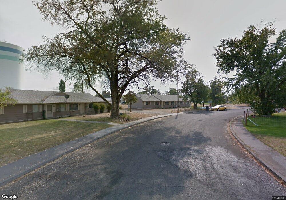
1010 Lowry St Moses Lake, WA 98837
Estimated Value: $245,000 - $311,050
6
Beds
2
Baths
2,016
Sq Ft
$136/Sq Ft
Est. Value
About This Home
This home is located at 1010 Lowry St, Moses Lake, WA 98837 and is currently estimated at $273,263, approximately $135 per square foot. 1010 Lowry St is a home located in Grant County with nearby schools including Larson Heights Elementary School, Endeavor Middle School, and Moses Lake High School.
Ownership History
Date
Name
Owned For
Owner Type
Purchase Details
Closed on
Aug 15, 2016
Sold by
Ahmann A Mike
Bought by
Ahmahn Jeffrey M
Current Estimated Value
Purchase Details
Closed on
Aug 7, 2016
Sold by
Gollehon Valerie A
Bought by
Ahmann Ahmann A Mike
Purchase Details
Closed on
Mar 2, 2007
Sold by
Gollehon Valerie A
Bought by
1008 1010 Lowry Llc
Create a Home Valuation Report for This Property
The Home Valuation Report is an in-depth analysis detailing your home's value as well as a comparison with similar homes in the area
Home Values in the Area
Average Home Value in this Area
Purchase History
| Date | Buyer | Sale Price | Title Company |
|---|---|---|---|
| Ahmahn Jeffrey M | -- | None Available | |
| Ahmann Ahmann A Mike | -- | None Available | |
| 1008 1010 Lowry Llc | -- | None Available |
Source: Public Records
Tax History Compared to Growth
Tax History
| Year | Tax Paid | Tax Assessment Tax Assessment Total Assessment is a certain percentage of the fair market value that is determined by local assessors to be the total taxable value of land and additions on the property. | Land | Improvement |
|---|---|---|---|---|
| 2025 | $2,507 | $239,525 | -- | -- |
| 2024 | $2,049 | $162,113 | $37,500 | $124,613 |
| 2023 | $2,138 | $170,890 | $37,500 | $133,390 |
| 2022 | $2,211 | $170,890 | $37,500 | $133,390 |
| 2021 | $1,917 | $170,890 | $37,500 | $133,390 |
| 2020 | $1,896 | $140,985 | $37,500 | $103,485 |
| 2019 | $1,514 | $99,675 | $20,000 | $79,675 |
| 2018 | $1,533 | $94,155 | $20,000 | $74,155 |
| 2017 | $1,591 | $109,745 | $20,000 | $89,745 |
| 2016 | $1,419 | $95,810 | $20,000 | $75,810 |
| 2013 | -- | $95,395 | $20,000 | $75,395 |
Source: Public Records
Map
Nearby Homes
- 1127 Arlington Dr
- 8910 Travis Dr Unit B
- 9008 Bong Loop Unit B
- 8958 Tinker Loop Unit A & B
- 0 22nd Ave NE
- 410 Biggs Dr NE
- 9016 Bong Loop Unit B
- 9021 Mcconnell Dr Unit A
- 9035 Forrestal Ln
- 9023 Mcconnell Dr Unit A
- 141 Carswell Dr
- 205 March Dr NE
- 538 Fairchild Loop
- 541 Fairchild Loop
- 535 Castle Dr
- 0 I Rd NE Unit NWM2459711
- 7613 Cox St NE
- 8653 Harris Rd NE
- 0 Harris Road Ne & Ray Rd NE Unit NWM2453754
- 4926 Shorecrest Dr NE
- 1008 1010 Lowry
- 1008 Lowry St
- 1006 Lowry St
- 1012 1014 Lowry
- 1014 Lowry St
- 1004 1006 Lowry
- 1012 Lowry St
- 1012 Lowry St Unit 2014
- 1012 Lowry St Unit 1014
- 1004 1006 Lowry St
- 1004 Lowry St
- 1016 Lowry St
- 1016 Lowry St
- 1016 Lowry St Unit 1022
- 1026 Lowry St
- 942 & 944 Lowry St
- 942 944 Lowry
- 1023 Lowry St
- 940 Lowry St
- 1101 Doolittle Dr