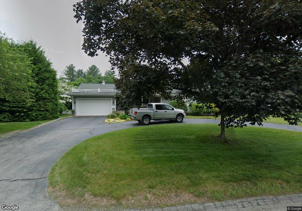
1010 Mammoth Rd Dracut, MA 01826
Estimated Value: $632,000 - $724,000
3
Beds
3
Baths
1,960
Sq Ft
$341/Sq Ft
Est. Value
About This Home
This home is located at 1010 Mammoth Rd, Dracut, MA 01826 and is currently estimated at $669,137, approximately $341 per square foot. 1010 Mammoth Rd is a home located in Middlesex County with nearby schools including Brookside Elementary School, Richardson Middle School, and Dracut Senior High School.
Ownership History
Date
Name
Owned For
Owner Type
Purchase Details
Closed on
Sep 9, 2014
Sold by
Delisle Maryann
Bought by
Delisle Paul and Delisle Maryann
Current Estimated Value
Purchase Details
Closed on
Feb 27, 2012
Sold by
Delisle Maryann
Bought by
Delisle Maryann and Delisle Paul
Purchase Details
Closed on
Dec 21, 2009
Sold by
Szymanski Sophia B
Bought by
Delisle Maryann F
Home Financials for this Owner
Home Financials are based on the most recent Mortgage that was taken out on this home.
Original Mortgage
$150,000
Interest Rate
5%
Purchase Details
Closed on
Feb 5, 2008
Sold by
Szymanski Jan A
Bought by
Delisle Maryann F
Purchase Details
Closed on
Dec 18, 2007
Sold by
Szymanski Jan A
Bought by
Delisle Maryann F
Create a Home Valuation Report for This Property
The Home Valuation Report is an in-depth analysis detailing your home's value as well as a comparison with similar homes in the area
Home Values in the Area
Average Home Value in this Area
Purchase History
| Date | Buyer | Sale Price | Title Company |
|---|---|---|---|
| Delisle Paul | -- | -- | |
| Delisle Maryann | -- | -- | |
| Delisle Maryann F | -- | -- | |
| Delisle Maryann F | -- | -- | |
| Delisle Maryann F | -- | -- |
Source: Public Records
Mortgage History
| Date | Status | Borrower | Loan Amount |
|---|---|---|---|
| Previous Owner | Delisle Maryann | $60,000 | |
| Previous Owner | Delisle Maryann | $45,000 | |
| Previous Owner | Delisle Maryann F | $150,000 | |
| Previous Owner | Delisle Maryann | $100,000 |
Source: Public Records
Tax History
| Year | Tax Paid | Tax Assessment Tax Assessment Total Assessment is a certain percentage of the fair market value that is determined by local assessors to be the total taxable value of land and additions on the property. | Land | Improvement |
|---|---|---|---|---|
| 2025 | $6,079 | $600,700 | $160,500 | $440,200 |
| 2024 | $6,070 | $580,900 | $153,000 | $427,900 |
| 2023 | $5,829 | $503,400 | $133,100 | $370,300 |
| 2022 | $6,106 | $496,800 | $121,300 | $375,500 |
| 2021 | $5,916 | $454,700 | $110,300 | $344,400 |
| 2020 | $6,057 | $453,700 | $138,300 | $315,400 |
| 2019 | $5,925 | $430,900 | $132,000 | $298,900 |
| 2018 | $5,447 | $385,200 | $132,000 | $253,200 |
| 2017 | $5,226 | $385,200 | $132,000 | $253,200 |
| 2016 | $5,000 | $336,900 | $127,200 | $209,700 |
| 2015 | $4,813 | $322,400 | $127,200 | $195,200 |
| 2014 | $4,461 | $307,900 | $127,200 | $180,700 |
Source: Public Records
Map
Nearby Homes
- 13 Dallas Dr Unit 305
- 13 Dallas Dr Unit 107
- 124 Tennis Plaza Rd Unit 40
- 29 Mill St Unit B
- 94 Tennis Plaza Rd Unit 10
- 9 Arbor Dr
- 1905 Lakeview Ave
- 53 Vinal St
- 17 Spare St
- 74 Tennis Plaza Rd Unit 34
- 91 Frederick St Unit 77
- 83 Turgeon Ave
- 42 Frederick St Unit 9
- 154 New Boston Rd
- 109 Navy Yard Rd
- 67 Glennon Ave
- 15 Louis Farm Rd Unit 15
- 101 Donohue Rd Unit 19
- 19 Louis Farm Rd Unit 19
- 13 Louis Farm Rd Unit 13
- 1002 Mammoth Rd
- 1020 Mammoth Rd
- 1020 Mammoth Rd Unit n/a
- 1007 Mammoth Rd
- 1019 Mammoth Rd
- 741/9 Mammoth Rd Unit 9/741
- 741/12 Mammoth Rd Unit 12/741
- 1034 Mammoth Rd
- 1037 Mammoth Rd
- 1001 Mammoth Rd
- 1028 Mammoth Rd
- 1045 Mammoth Rd
- 1000 Mammoth Rd
- 4 Strawberry Ln
- 1050 Mammoth Rd
- 21 Kathy Ave
- 31 Kathy Ave
- 15 Kathy Ave
- 5 Kathy Ave
- 42 Kathy Ave
Your Personal Tour Guide
Ask me questions while you tour the home.