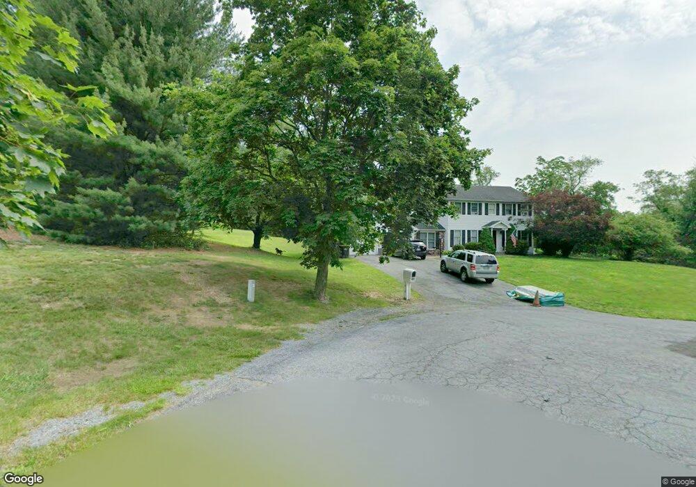
1010 Maple Dr Danielsville, PA 18038
Estimated Value: $435,664 - $572,000
4
Beds
2
Baths
1,904
Sq Ft
$269/Sq Ft
Est. Value
About This Home
This home is located at 1010 Maple Dr, Danielsville, PA 18038 and is currently estimated at $512,916, approximately $269 per square foot. 1010 Maple Dr is a home located in Northampton County with nearby schools including Norfolk Highlands Primary School, Thurgood Marshall Elementary School, and Moore Elementary School.
Ownership History
Date
Name
Owned For
Owner Type
Purchase Details
Closed on
Mar 3, 2016
Sold by
Nesfeder Kelly E and Nesfeder Dale R
Bought by
Nesfeder Kelly E
Current Estimated Value
Home Financials for this Owner
Home Financials are based on the most recent Mortgage that was taken out on this home.
Original Mortgage
$276,760
Outstanding Balance
$216,740
Interest Rate
3.5%
Mortgage Type
FHA
Estimated Equity
$296,176
Purchase Details
Closed on
Oct 25, 2006
Sold by
Ditzel Donald R
Bought by
Nesfeder Dale R
Home Financials for this Owner
Home Financials are based on the most recent Mortgage that was taken out on this home.
Original Mortgage
$30,500
Interest Rate
6.31%
Mortgage Type
Credit Line Revolving
Purchase Details
Closed on
Jun 1, 1987
Bought by
Ditzel Donald R and Ditzel Judith C
Create a Home Valuation Report for This Property
The Home Valuation Report is an in-depth analysis detailing your home's value as well as a comparison with similar homes in the area
Home Values in the Area
Average Home Value in this Area
Purchase History
| Date | Buyer | Sale Price | Title Company |
|---|---|---|---|
| Nesfeder Kelly E | -- | None Available | |
| Nesfeder Dale R | $305,000 | -- | |
| Ditzel Donald R | $123,000 | -- |
Source: Public Records
Mortgage History
| Date | Status | Borrower | Loan Amount |
|---|---|---|---|
| Open | Nesfeder Kelly E | $276,760 | |
| Closed | Nesfeder Dale R | $30,500 | |
| Closed | Nesfeder Dale R | $244,000 |
Source: Public Records
Tax History Compared to Growth
Tax History
| Year | Tax Paid | Tax Assessment Tax Assessment Total Assessment is a certain percentage of the fair market value that is determined by local assessors to be the total taxable value of land and additions on the property. | Land | Improvement |
|---|---|---|---|---|
| 2025 | $728 | $67,400 | $18,600 | $48,800 |
| 2024 | $4,887 | $67,400 | $18,600 | $48,800 |
| 2023 | $4,887 | $67,400 | $18,600 | $48,800 |
| 2022 | $4,887 | $67,400 | $18,600 | $48,800 |
| 2021 | $4,899 | $67,400 | $18,600 | $48,800 |
| 2020 | $4,899 | $67,400 | $18,600 | $48,800 |
| 2019 | $4,693 | $67,400 | $18,600 | $48,800 |
| 2018 | $4,622 | $67,400 | $18,600 | $48,800 |
| 2017 | $4,519 | $67,400 | $18,600 | $48,800 |
| 2016 | -- | $67,400 | $18,600 | $48,800 |
| 2015 | -- | $67,400 | $18,600 | $48,800 |
| 2014 | -- | $67,400 | $18,600 | $48,800 |
Source: Public Records
Map
Nearby Homes
- 998 Newichawnoe St
- 2761 Eckerts Ln
- 540 Hilldale Dr
- 0 Benders Dr
- 3271 W Scenic Dr
- 3341 Buckskin Ln
- 791 Point Phillips Rd
- Preakness Plan at The Enclave at Bushkill
- Juniper Plan at The Enclave at Bushkill
- Breckenridge Grande Plan at The Enclave at Bushkill
- Rockford Plan at The Enclave at Bushkill
- Sienna Plan at The Enclave at Bushkill
- Churchill Plan at The Enclave at Bushkill
- Morgan Plan at The Enclave at Bushkill
- Maverick Plan at The Enclave at Bushkill
- Vinecrest Plan at The Enclave at Bushkill
- 2530 5th St
- 518 Bauer Rd
- 3479 Mango Dr
- 295 Railbed Trail