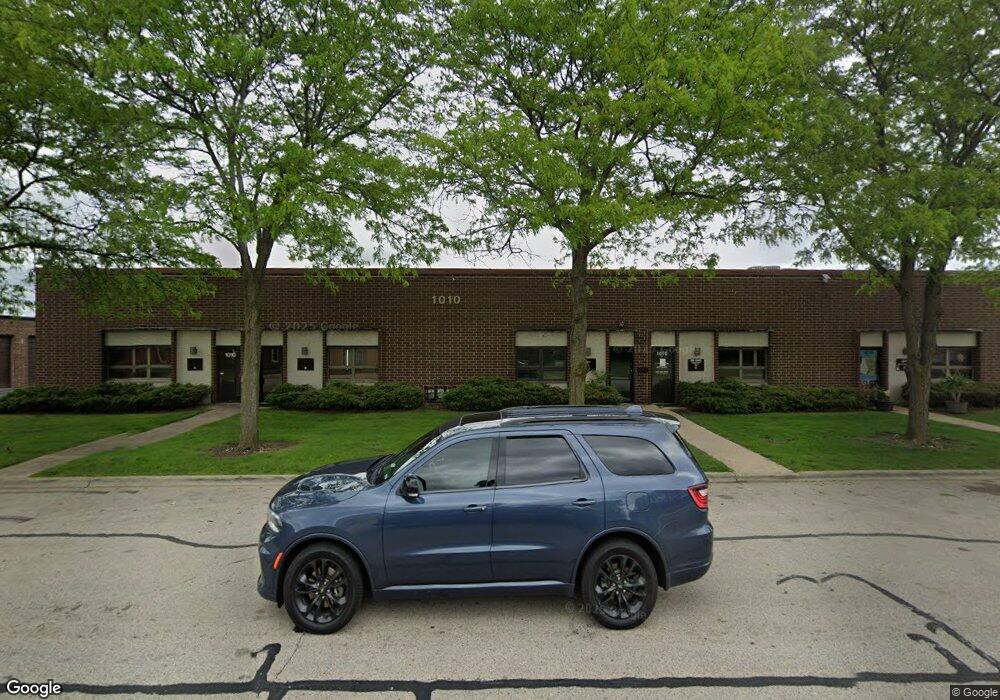
1010 Morse Ave Unit C Schaumburg, IL 60193
South Schaumburg NeighborhoodEstimated Value: $253,502
--
Bed
--
Bath
2,085
Sq Ft
$122/Sq Ft
Est. Value
About This Home
This home is located at 1010 Morse Ave Unit C, Schaumburg, IL 60193 and is currently estimated at $253,502, approximately $121 per square foot. 1010 Morse Ave Unit C is a home located in Cook County with nearby schools including Edwin Aldrin Elementary School, Robert Frost Junior High School, and Schaumburg High School.
Ownership History
Date
Name
Owned For
Owner Type
Purchase Details
Closed on
Oct 21, 2022
Sold by
Morse 1010 Series Pathfinder Holdings Ll
Bought by
Vortex Trans Inc
Current Estimated Value
Purchase Details
Closed on
May 23, 2007
Sold by
Rapp Holding Llc
Bought by
Morse 1010 Series Pathfinder Holdings Ll
Purchase Details
Closed on
May 30, 2000
Sold by
Karlyn Family Ltd Partnership
Bought by
Rapp Holding Company Llc
Purchase Details
Closed on
Jul 14, 1997
Sold by
Karlyn William M
Bought by
Karlyn Family Ltd Partnership
Create a Home Valuation Report for This Property
The Home Valuation Report is an in-depth analysis detailing your home's value as well as a comparison with similar homes in the area
Home Values in the Area
Average Home Value in this Area
Purchase History
| Date | Buyer | Sale Price | Title Company |
|---|---|---|---|
| Vortex Trans Inc | $200,000 | Chicago Title | |
| Morse 1010 Series Pathfinder Holdings Ll | -- | None Available | |
| Rapp Holding Company Llc | $95,000 | Professional National Title | |
| Karlyn Family Ltd Partnership | -- | -- |
Source: Public Records
Tax History Compared to Growth
Tax History
| Year | Tax Paid | Tax Assessment Tax Assessment Total Assessment is a certain percentage of the fair market value that is determined by local assessors to be the total taxable value of land and additions on the property. | Land | Improvement |
|---|---|---|---|---|
| 2024 | $11,413 | $40,743 | $9,939 | $30,804 |
| 2023 | $11,067 | $40,743 | $9,939 | $30,804 |
| 2022 | $11,067 | $40,743 | $9,939 | $30,804 |
| 2021 | $8,126 | $26,811 | $9,938 | $16,873 |
| 2020 | $7,986 | $26,811 | $9,938 | $16,873 |
| 2019 | $7,186 | $26,811 | $9,938 | $16,873 |
| 2018 | $9,520 | $31,720 | $7,454 | $24,266 |
| 2017 | $9,370 | $31,720 | $7,454 | $24,266 |
| 2016 | $8,762 | $31,720 | $7,454 | $24,266 |
| 2015 | $6,697 | $22,385 | $6,211 | $16,174 |
| 2014 | $6,623 | $22,385 | $6,211 | $16,174 |
| 2013 | $6,454 | $22,385 | $6,211 | $16,174 |
Source: Public Records
Map
Nearby Homes
- 1285 Cranbrook Dr
- 1300 Cranbrook Dr
- 1171 Regency Dr
- 1150 Attleboro Ct
- 738 Crest Ave
- 1126 Tiverton Ct
- 1104 Taunton Ct
- 1008 Shannock Ln
- 1313 Hartmann Dr
- 988 Chelsea Ln
- 1109 Beach Comber Dr
- 818 Brentwood Ct
- 1309 Fairlane Dr
- 1662 Commodore Ct Unit 70294
- 1027 Duxbury Ln
- 1520 Grant St
- 357 Lucille Ln Unit 30
- 1460 Fairlane Dr Unit 513
- 1460 Fairlane Dr Unit 228
- 1460 Fairlane Dr Unit 106
- 1010 Morse Ave Unit D
- 1010 Morse Ave Unit B
- 1010 Morse Ave
- 1017 Lunt Ave
- 1031 Lunt Ave
- 1032 Morse Ave
- 1038 Morse Ave
- 1037 Lunt Ave
- 1 Morse Ave
- 1107 Lunt - Unit 6
- 1107 Lunt - Unit 8
- 1016 Lunt Ave
- 1012 Lunt Ave
- 1024 Lunt Ave
- 1024 Lunt Ave
- 1110 Morse Ave
- 1008 Lunt Ave
- 1115 Lunt Ave
- 1034 Lunt Ave
- 1104 Lunt Ave