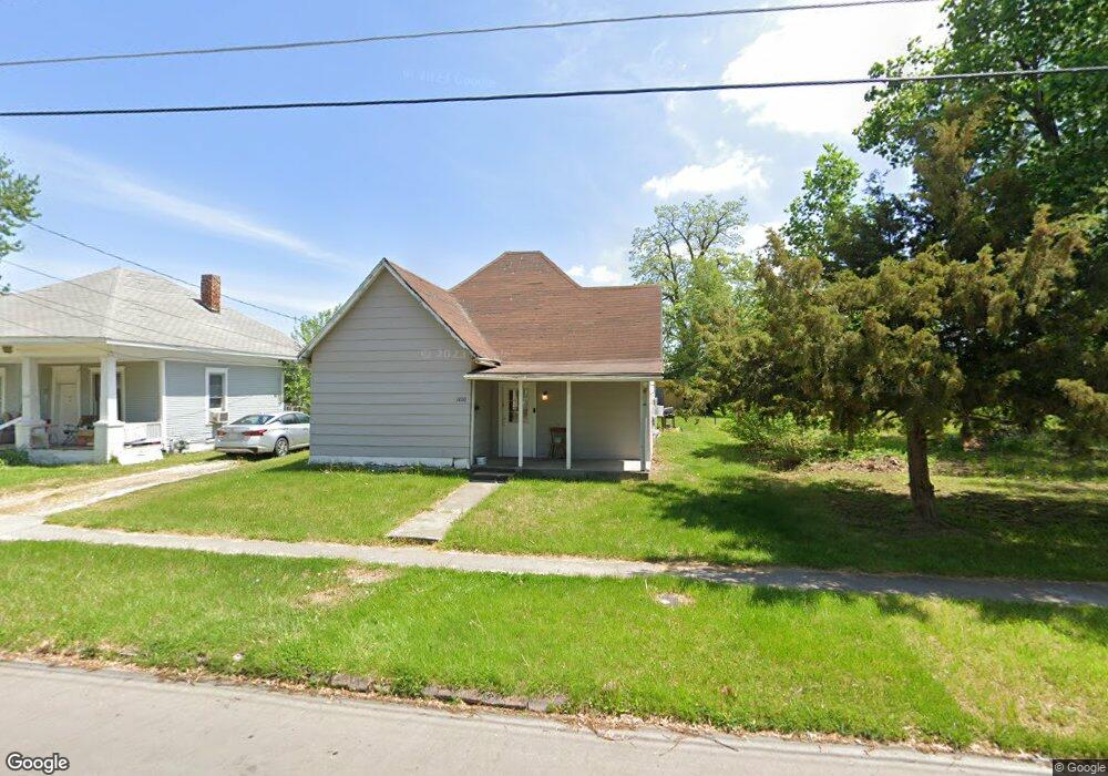
1010 N Ault St Moberly, MO 65270
Estimated Value: $91,000 - $135,000
3
Beds
1
Bath
1,260
Sq Ft
$86/Sq Ft
Est. Value
About This Home
This home is located at 1010 N Ault St, Moberly, MO 65270 and is currently estimated at $108,667, approximately $86 per square foot. 1010 N Ault St is a home located in Randolph County with nearby schools including Moberly Senior High School, St. Pius X. Catholic School, and Maranatha Seventh-day Adventist School.
Ownership History
Date
Name
Owned For
Owner Type
Purchase Details
Closed on
Sep 15, 2025
Sold by
C And Do Property Management Llc
Bought by
Oak Row Contracting Llc
Current Estimated Value
Home Financials for this Owner
Home Financials are based on the most recent Mortgage that was taken out on this home.
Original Mortgage
$375,000
Outstanding Balance
$375,000
Interest Rate
6.72%
Mortgage Type
Credit Line Revolving
Estimated Equity
-$266,333
Create a Home Valuation Report for This Property
The Home Valuation Report is an in-depth analysis detailing your home's value as well as a comparison with similar homes in the area
Home Values in the Area
Average Home Value in this Area
Purchase History
| Date | Buyer | Sale Price | Title Company |
|---|---|---|---|
| Oak Row Contracting Llc | -- | Town & Country Abstract |
Source: Public Records
Mortgage History
| Date | Status | Borrower | Loan Amount |
|---|---|---|---|
| Open | Oak Row Contracting Llc | $375,000 |
Source: Public Records
Tax History
| Year | Tax Paid | Tax Assessment Tax Assessment Total Assessment is a certain percentage of the fair market value that is determined by local assessors to be the total taxable value of land and additions on the property. | Land | Improvement |
|---|---|---|---|---|
| 2025 | $242 | $3,590 | $873 | $2,717 |
| 2024 | $242 | $3,320 | $761 | $2,559 |
| 2023 | $245 | $3,320 | $761 | $2,559 |
| 2022 | $230 | $3,190 | $760 | $2,430 |
| 2020 | $230 | $3,190 | $760 | $2,430 |
| 2019 | $229 | $3,190 | $760 | $2,430 |
| 2018 | $237 | $3,310 | $759 | $2,551 |
| 2017 | $236 | $3,310 | $0 | $0 |
| 2016 | $215 | $3,020 | $0 | $0 |
| 2014 | -- | $2,770 | $0 | $0 |
| 2013 | -- | $2,770 | $0 | $0 |
| 2012 | -- | $2,780 | $0 | $0 |
Source: Public Records
Map
Nearby Homes
- 512 Chandler St
- 523 Morehead St
- 609 Franklin Ave
- 537 Fulton Ave
- 619 Madison Ave
- 812 N Moulton St
- 321 Farror St
- 409 Barrow St
- 722 Vincil St
- 1100 Stonebridge Ln
- Lot 11 Stonebridge Lane (Plat 2)
- Lot 10 Stonebridge Lane (Plat 2)
- 204 Bertley St
- 809 Concannon St
- 712 Farror St
- 101 N Ault St
- 535 W Reed St
- 0 Highway 24
- 959 U S 24
- 0 Highway 63
- 1014 N Ault St
- 1016 N Ault St
- 1007 N Ault St
- 1003 N Ault St
- 1009 N Ault St
- 1013 N Ault St
- 200 Jefferson Ave
- 1024 N Ault St
- 1007 N Morley St
- 1003 N Morley St
- 925 N Ault St
- 1030 N Ault St
- 1029 N Ault St
- 921 N Ault St
- 923 N Morley St
- 917 N Ault St
- 1031 N Ault St
- 102 Jefferson Ave
- 1024 N Morley St
- 915 N Ault St
Your Personal Tour Guide
Ask me questions while you tour the home.