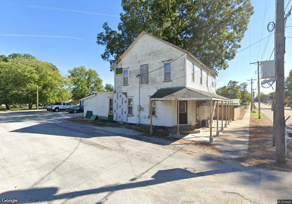
1010 N Main St Marissa, IL 62257
Studio
--
Bath
2,092
Sq Ft
7,405
Sq Ft Lot
About This Home
This home is located at 1010 N Main St, Marissa, IL 62257. 1010 N Main St is a home located in St. Clair County with nearby schools including Marissa Elementary School and Marissa Jr & Sr High School.
Ownership History
Date
Name
Owned For
Owner Type
Purchase Details
Closed on
May 18, 2021
Sold by
Baker Bruce W and Baker Dawn S
Bought by
Whaley Angel J
Home Financials for this Owner
Home Financials are based on the most recent Mortgage that was taken out on this home.
Original Mortgage
$56,000
Outstanding Balance
$50,750
Interest Rate
3.1%
Mortgage Type
Commercial
Purchase Details
Closed on
Sep 4, 2015
Sold by
Baker Bruce W
Bought by
Baker Dawn S
Purchase Details
Closed on
May 9, 2011
Sold by
Juenger Leland H and Juenger Virginia A
Bought by
Baker Bruce W
Create a Home Valuation Report for This Property
The Home Valuation Report is an in-depth analysis detailing your home's value as well as a comparison with similar homes in the area
Purchase History
| Date | Buyer | Sale Price | Title Company |
|---|---|---|---|
| Whaley Angel J | $70,000 | Accommodation | |
| Baker Dawn S | -- | None Available | |
| Baker Bruce W | $79,000 | Metro East Title Corporation |
Source: Public Records
Mortgage History
| Date | Status | Borrower | Loan Amount |
|---|---|---|---|
| Open | Whaley Angel J | $56,000 |
Source: Public Records
Tax History
| Year | Tax Paid | Tax Assessment Tax Assessment Total Assessment is a certain percentage of the fair market value that is determined by local assessors to be the total taxable value of land and additions on the property. | Land | Improvement |
|---|---|---|---|---|
| 2024 | $1,473 | $18,471 | $3,762 | $14,709 |
| 2023 | $1,416 | $17,446 | $3,553 | $13,893 |
| 2022 | $1,629 | $18,300 | $3,394 | $14,906 |
| 2021 | $2,504 | $26,524 | $3,214 | $23,310 |
| 2020 | $2,490 | $27,375 | $3,318 | $24,057 |
| 2019 | $2,562 | $27,375 | $3,318 | $24,057 |
| 2018 | $2,314 | $22,981 | $3,304 | $19,677 |
| 2017 | $2,289 | $22,446 | $3,227 | $19,219 |
| 2016 | $2,269 | $24,846 | $3,259 | $21,587 |
| 2014 | $1,245 | $13,373 | $2,528 | $10,845 |
| 2013 | $1,258 | $13,894 | $2,626 | $11,268 |
Source: Public Records
Map
Nearby Homes
- 712 N Main St
- 427 East Dr
- 434 East Dr
- 120 N Euclid Ave
- 107 N Euclid Ave
- 300 W Mill St Unit 37
- 309 S Euclid Ave
- 401 S Park St
- 715 S Hamilton St
- 801 S Main St
- 801 S Borders Ave
- 800 S Richard Ave
- 620 E Reily St
- 1365 Green Diamond Rd
- 240 Taft St
- 143 Taft St
- 4 W Church St
- 000 Darmstadt Rd
- 120 S Charles St
- 9345 Schaller Rd
- 1011 N Main St
- 959 N Main St
- 1019 N Main St
- 114 1st South St
- 125 Pinckneyville Rd
- 954 N Main St
- 960 N Hamilton St
- 1021 N Main St
- 965 N Hamilton St
- 1017 N Hamilton St
- 955 N Main St
- 952 N Main St
- 1010 N Park St
- 1002 N Park St
- 1016 N Park St
- 1018 N Park St
- 957 N Hamilton St
- 1 E Marissa St
- 110 W Marissa St
- 109 E Marissa St
Your Personal Tour Guide
Ask me questions while you tour the home.