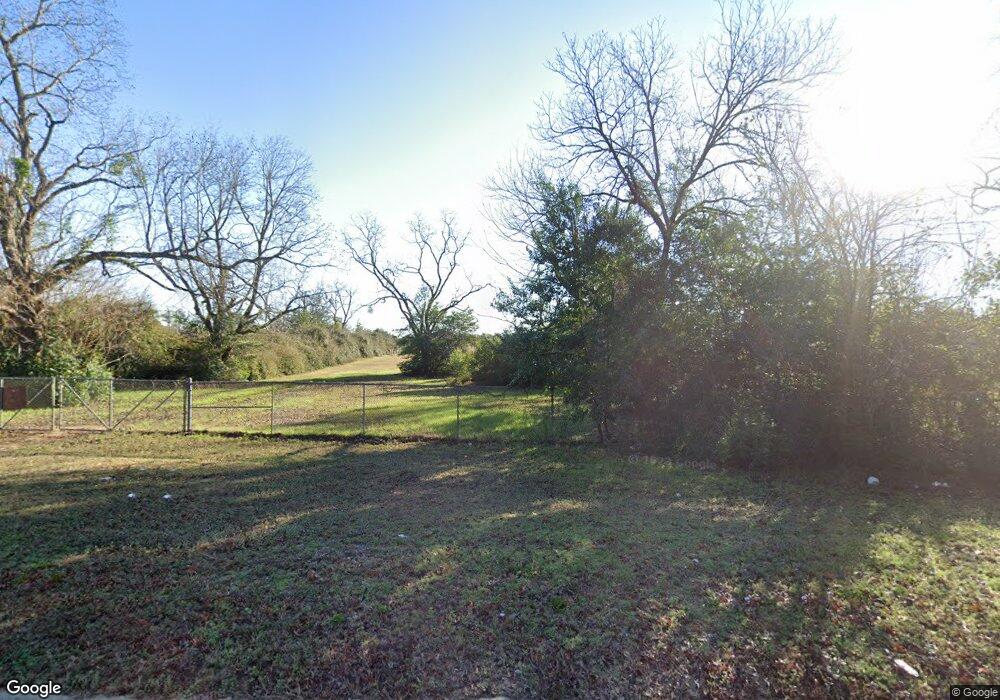
1010 N Maple St Albany, GA 31705
Estimated Value: $158,262
3
Beds
2
Baths
1,296
Sq Ft
$122/Sq Ft
Est. Value
About This Home
This home is located at 1010 N Maple St, Albany, GA 31705 and is currently priced at $158,262, approximately $122 per square foot. 1010 N Maple St is a home located in Dougherty County with nearby schools including Robert H. Harvey Elementary School, Albany Middle School, and Dougherty Comprehensive High School.
Ownership History
Date
Name
Owned For
Owner Type
Purchase Details
Closed on
May 29, 1998
Sold by
Oxford Solid Waste Landfill Inc
Bought by
City Of Albany
Current Estimated Value
Purchase Details
Closed on
Jan 9, 1995
Sold by
Mitchell Gail Helen
Bought by
Oxford Solid Waste Landfill Inc
Purchase Details
Closed on
Dec 27, 1993
Sold by
Kersey Virginia I
Bought by
Mitchell Gail Helen
Purchase Details
Closed on
Jul 19, 1985
Sold by
Kersey J G
Bought by
Kersey Virginia I
Create a Home Valuation Report for This Property
The Home Valuation Report is an in-depth analysis detailing your home's value as well as a comparison with similar homes in the area
Home Values in the Area
Average Home Value in this Area
Purchase History
| Date | Buyer | Sale Price | Title Company |
|---|---|---|---|
| City Of Albany | -- | -- | |
| Oxford Solid Waste Landfill Inc | $130,000 | -- | |
| Mitchell Gail Helen | -- | -- | |
| Kersey Virginia I | -- | -- |
Source: Public Records
Tax History Compared to Growth
Tax History
| Year | Tax Paid | Tax Assessment Tax Assessment Total Assessment is a certain percentage of the fair market value that is determined by local assessors to be the total taxable value of land and additions on the property. | Land | Improvement |
|---|---|---|---|---|
| 2024 | -- | $58,260 | $57,960 | $300 |
| 2023 | $0 | $58,260 | $57,960 | $300 |
| 2022 | $2,526 | $58,260 | $57,960 | $300 |
| 2021 | $3,155 | $72,780 | $57,960 | $14,820 |
| 2020 | $3,163 | $72,780 | $57,960 | $14,820 |
| 2019 | $3,188 | $72,780 | $57,960 | $14,820 |
| 2018 | $0 | $72,780 | $57,960 | $14,820 |
| 2017 | $0 | $72,780 | $57,960 | $14,820 |
| 2016 | -- | $72,780 | $57,960 | $14,820 |
| 2015 | -- | $72,780 | $57,960 | $14,820 |
| 2014 | -- | $75,340 | $60,520 | $14,820 |
Source: Public Records
Map
Nearby Homes
- 1500 Evelyn Ave
- 1323 E Society Ave
- 1618 Beverly Ave
- 1418 E Roosevelt Ave
- 1107 E 4th Ave
- 1410 E Roosevelt Ave
- 1318 E Roosevelt Ave
- 1007 Swift St
- 119 N West Rd
- 1616 Cromartie Beach Dr
- 1412 Westcliff Ct
- 1532 E Broad Ave
- 1604, 1606, 1607 Cromartie Beach Dr
- 1405 Westcliff Ct
- 1978 S Riverview Cir
- 1901 S Flintlock Dr
- 1980 S Riverview Cir
- 1219 Bonnyview Ave
- 1982 S Riverview Cir
- 1001 Hobson St
- 1014 N Maple St
- 946 N Maple St
- 1012 N Maple St
- N N Maple St
- 1100 Sylvandale Ct
- 1101 Sylvandale Ct
- 1102 Sylvandale Ct
- 1100 N Maple St
- 1103 Sylvandale Ct
- 1104 Sylvandale Ct
- 1102 N Maple St
- 1105 Sylvandale Ct
- 1104 N Maple St
- 1106 Sylvandale Ct
- 1506 Cordell Ave
- 1504 Cordell Ave
- 1108 Sylvandale Ct
- 1502 Cordell Ave
- 1500 Cordell Ave
- 901/904 Maple St
