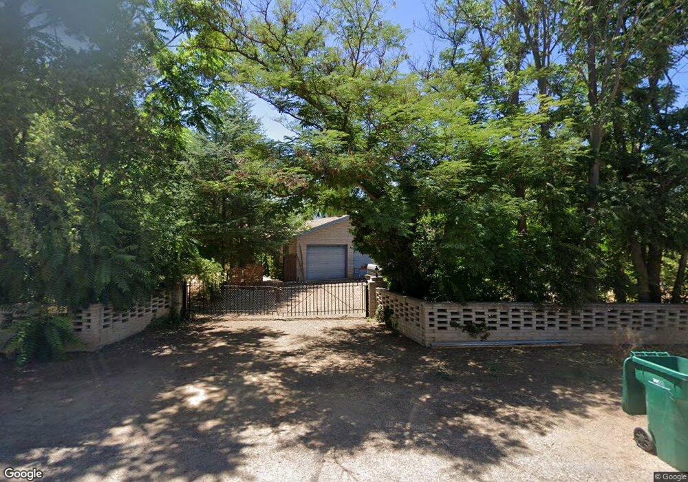
1010 N Rio Verde Cir Unit 1 Cottonwood, AZ 86326
Estimated Value: $386,000 - $668,000
3
Beds
--
Bath
2,504
Sq Ft
$208/Sq Ft
Est. Value
About This Home
This home is located at 1010 N Rio Verde Cir Unit 1, Cottonwood, AZ 86326 and is currently estimated at $521,689, approximately $208 per square foot. 1010 N Rio Verde Cir Unit 1 is a home located in Yavapai County with nearby schools including Cottonwood Elementary School, Dr Daniel Bright Elementary School, and Cottonwood Community School.
Ownership History
Date
Name
Owned For
Owner Type
Purchase Details
Closed on
Apr 29, 2009
Sold by
Aurora Loan Services Llc
Bought by
Magoski Peter F
Current Estimated Value
Purchase Details
Closed on
Mar 23, 2009
Sold by
Mannix Gary and Mannix Catherine M
Bought by
Aurora Loan Services Llc
Purchase Details
Closed on
Jun 7, 2002
Sold by
Graham Scott A and Graham Tracey G
Bought by
Mannix Gary M and Mannix Catherine M
Purchase Details
Closed on
May 17, 1999
Sold by
Fifth Third Investment Co
Bought by
Graham Scott A and Graham Tracey G
Home Financials for this Owner
Home Financials are based on the most recent Mortgage that was taken out on this home.
Original Mortgage
$148,200
Interest Rate
7.01%
Mortgage Type
New Conventional
Create a Home Valuation Report for This Property
The Home Valuation Report is an in-depth analysis detailing your home's value as well as a comparison with similar homes in the area
Home Values in the Area
Average Home Value in this Area
Purchase History
| Date | Buyer | Sale Price | Title Company |
|---|---|---|---|
| Magoski Peter F | $171,000 | First American Title Ins | |
| Aurora Loan Services Llc | $312,400 | Accommodation | |
| Mannix Gary M | $255,000 | Chicago Title Insurance Co | |
| Graham Scott A | $156,000 | Transnation Title Ins Co |
Source: Public Records
Mortgage History
| Date | Status | Borrower | Loan Amount |
|---|---|---|---|
| Previous Owner | Graham Scott A | $148,200 |
Source: Public Records
Tax History Compared to Growth
Tax History
| Year | Tax Paid | Tax Assessment Tax Assessment Total Assessment is a certain percentage of the fair market value that is determined by local assessors to be the total taxable value of land and additions on the property. | Land | Improvement |
|---|---|---|---|---|
| 2026 | $2,209 | $36,928 | -- | -- |
| 2024 | $2,122 | $35,799 | -- | -- |
| 2023 | $2,122 | $28,811 | $5,179 | $23,632 |
| 2022 | $2,086 | $24,132 | $3,376 | $20,756 |
| 2021 | $2,179 | $23,621 | $4,574 | $19,047 |
| 2020 | $2,139 | $0 | $0 | $0 |
| 2019 | $2,101 | $0 | $0 | $0 |
| 2018 | $2,016 | $0 | $0 | $0 |
| 2017 | $1,928 | $0 | $0 | $0 |
| 2016 | $1,879 | $0 | $0 | $0 |
| 2015 | -- | $0 | $0 | $0 |
| 2014 | -- | $0 | $0 | $0 |
Source: Public Records
Map
Nearby Homes
- 1630 E Coconino St Unit 37
- 902 N 14th St
- 19 N 17th St
- 635 N Main St
- 1203 E Cochise St
- 1111 E Cochise St
- 1040 E Mingus Unit C Ave Unit C
- 607 N 8th St
- 1013 E Mingus Ave
- 985 E Mingus Ave Unit 624
- 1065 Crenshaw
- 280 S Main St
- 0 E Aspen St
- 330 S 17th Place
- 707 E Mingus Ave
- 318 E Pinal St
- 677 E Mingus Ave
- 925 N 2nd St
- 425 S Main St
- 1461 E Cherry St