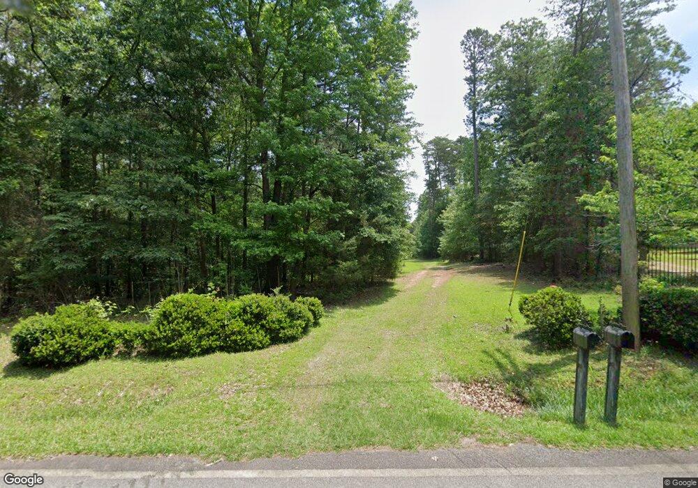
1010 Old Andersonville Rd Hartwell, GA 30643
Estimated Value: $379,438 - $532,000
--
Bed
--
Bath
1,573
Sq Ft
$297/Sq Ft
Est. Value
About This Home
This home is located at 1010 Old Andersonville Rd, Hartwell, GA 30643 and is currently estimated at $467,110, approximately $296 per square foot. 1010 Old Andersonville Rd is a home with nearby schools including Hart County High School.
Ownership History
Date
Name
Owned For
Owner Type
Purchase Details
Closed on
Feb 16, 2024
Sold by
Fenlon Emily Battey
Bought by
Fenlon Whatley Battey
Current Estimated Value
Purchase Details
Closed on
Apr 25, 2020
Sold by
Fenlon Emily B
Bought by
Fenlon Andrew P
Purchase Details
Closed on
Mar 28, 2019
Sold by
Fenlon Stephen C
Bought by
Fenlon Emily B
Purchase Details
Closed on
Dec 1, 1988
Purchase Details
Closed on
Feb 1, 1972
Purchase Details
Closed on
Jul 1, 1971
Create a Home Valuation Report for This Property
The Home Valuation Report is an in-depth analysis detailing your home's value as well as a comparison with similar homes in the area
Home Values in the Area
Average Home Value in this Area
Purchase History
| Date | Buyer | Sale Price | Title Company |
|---|---|---|---|
| Fenlon Whatley Battey | -- | -- | |
| Fenlon Andrew P | $13,400 | -- | |
| Fenlon Emily B | -- | -- | |
| Fenlon Emily B | -- | -- | |
| Fenlon Emily B | -- | -- | |
| Fenlon Emily B | -- | -- | |
| Fenlon Emily B | -- | -- | |
| -- | -- | -- | |
| -- | -- | -- | |
| -- | -- | -- |
Source: Public Records
Tax History Compared to Growth
Tax History
| Year | Tax Paid | Tax Assessment Tax Assessment Total Assessment is a certain percentage of the fair market value that is determined by local assessors to be the total taxable value of land and additions on the property. | Land | Improvement |
|---|---|---|---|---|
| 2024 | $1,997 | $129,307 | $88,000 | $41,307 |
| 2023 | $2,076 | $124,643 | $88,000 | $36,643 |
| 2022 | $2,018 | $121,168 | $88,000 | $33,168 |
| 2021 | $1,600 | $86,239 | $56,000 | $30,239 |
| 2020 | $1,610 | $83,138 | $54,000 | $29,138 |
| 2019 | $1,575 | $80,578 | $52,000 | $28,578 |
| 2018 | $1,586 | $80,212 | $50,400 | $29,812 |
| 2017 | $1,589 | $79,906 | $50,400 | $29,506 |
| 2016 | $1,648 | $80,358 | $50,400 | $29,958 |
| 2015 | $1,565 | $80,370 | $50,400 | $29,970 |
| 2014 | $1,690 | $85,075 | $56,000 | $29,075 |
| 2013 | -- | $86,012 | $56,000 | $30,012 |
Source: Public Records
Map
Nearby Homes
- 171 Friendship Dr
- 280 Hidden Point Rd
- 398 Hidden Point Rd
- 0 Sidney Point Unit PHASE II
- LOT 17 Sidney Point
- 99 Commodore St
- 133 Admiral Dr
- 0 Freedom Heights Dr Unit 20284085
- 0 Freedom Heights Dr Unit LOT 10 10462767
- 25 C and C Cir Unit (TRACT B)
- 590 Rainbow Dr
- 1047 Tranquility Ln
- 186 Wilderness Point
- 168 Wilderness Point
- 149 Foxtail Dr
- 1300 Tranquility Ln
- 1696 Crawfords Ferry Rd
- 0 Crawfords Ferry Point Unit 10450888
- 99 Crane Creek Dr
- 158 Creekwood Rd
- 1104 Old Andersonville Rd
- 940 Old Andersonville Rd
- 1000 Old Andersonville Rd
- 985 Old Andersonville Rd
- 1206 Old Andersonville Rd
- 0 Lamb Rd Unit 7346503
- 1164 Old Andersonville Rd
- 2 Sentu Way
- 4 Sentu Way
- 1 Sentu Way
- 3 Sentu Way
- 50 Cliff Rd
- 141 Hidden Point Rd
- 161 Hidden Point Rd
- 161 Hidden Point Rd
- 62 Lamb Rd
- 1117 Old Andersonville Rd
- 1115 Old Andersonville Rd
- 67 Hidden Point Rd
- 18 Lamb Rd